MyTopo
Wildcat Butte Wyoming US Topo Map
Couldn't load pickup availability
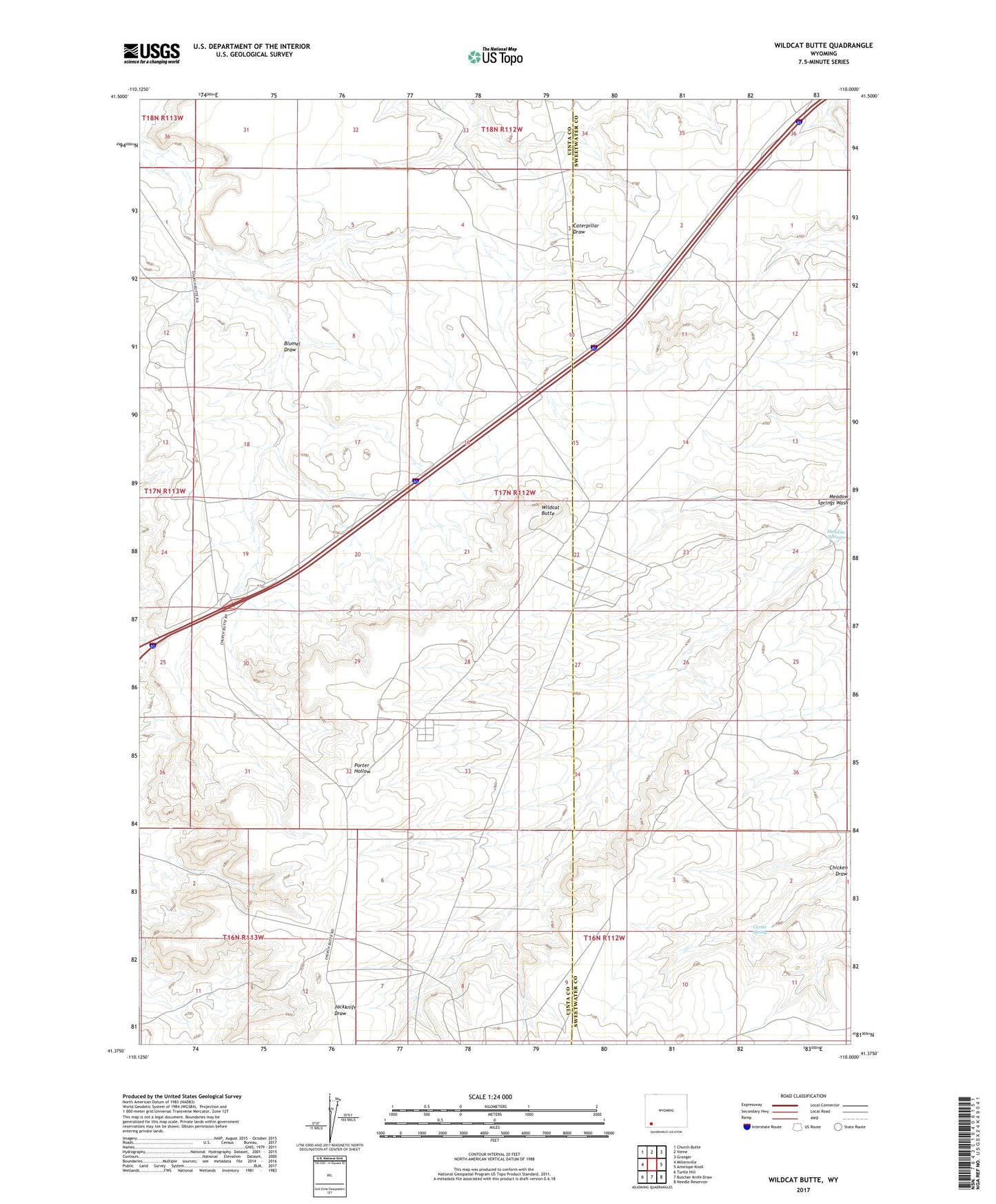
2021 topographic map quadrangle Wildcat Butte in the state of Wyoming. Scale: 1:24000. Based on the newly updated USGS 7.5' US Topo map series, this map is in the following counties: Uinta, Sweetwater. The map contains contour data, water features, and other items you are used to seeing on USGS maps, but also has updated roads and other features. This is the next generation of topographic maps. Printed on high-quality waterproof paper with UV fade-resistant inks.
Quads adjacent to this one:
West: Millersville
Northwest: Church Butte
North: Verne
Northeast: Granger
East: Antelope Knoll
Southeast: Needle Reservoir
South: Butcher Knife Draw
Southwest: Turtle Hill
This map covers the same area as the classic USGS quad with code o41110d1.
Contains the following named places: Blumel Draw, Carter Spring, Church Butte Camp, Meadow Springs, Wildcat Butte