MyTopo
Neil Butte Wyoming US Topo Map
Couldn't load pickup availability
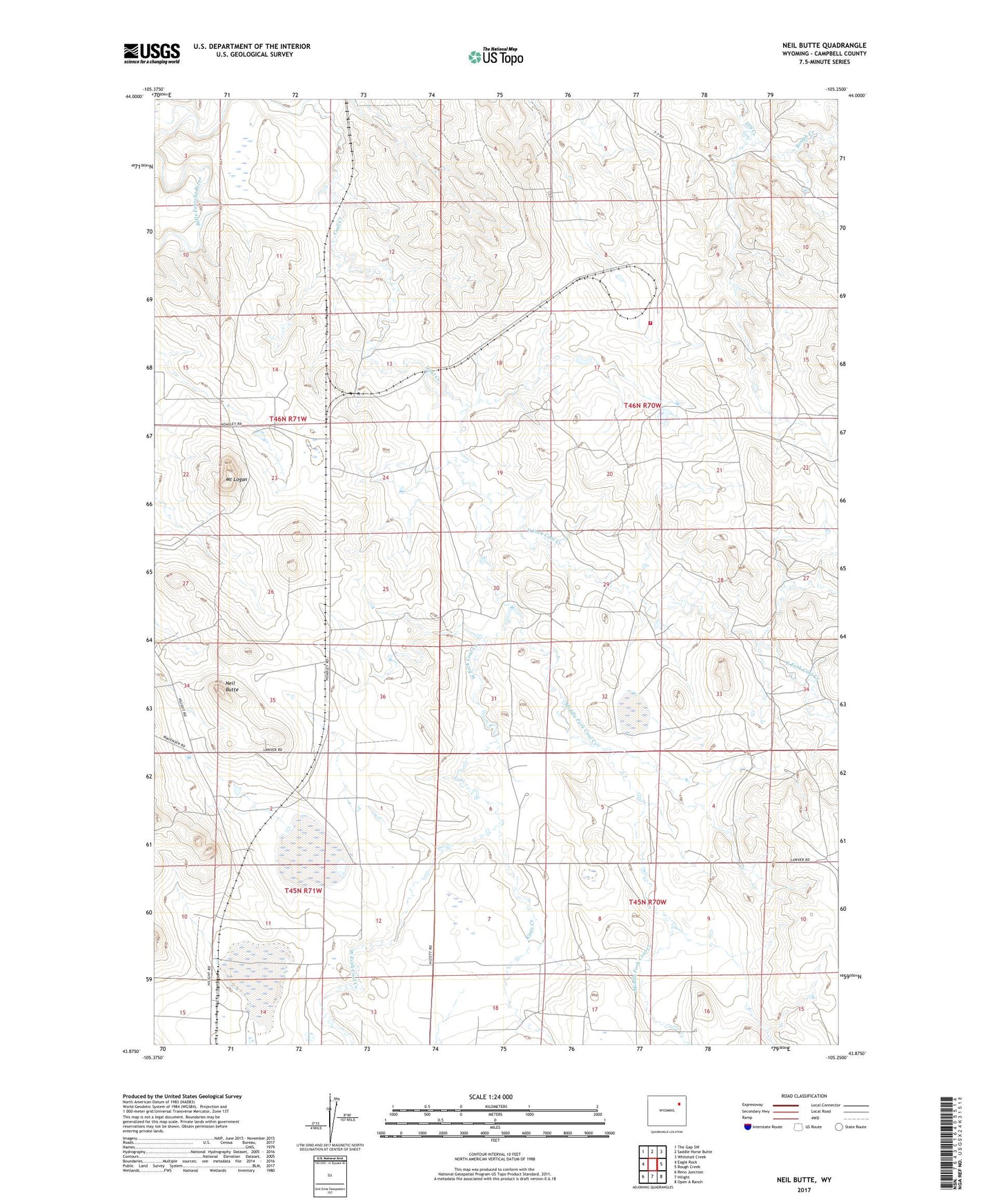
2021 topographic map quadrangle Neil Butte in the state of Wyoming. Scale: 1:24000. Based on the newly updated USGS 7.5' US Topo map series, this map is in the following counties: Campbell. The map contains contour data, water features, and other items you are used to seeing on USGS maps, but also has updated roads and other features. This is the next generation of topographic maps. Printed on high-quality waterproof paper with UV fade-resistant inks.
Quads adjacent to this one:
West: Eagle Rock
Northwest: The Gap SW
North: Saddle Horse Butte
Northeast: Whitetail Creek
East: Rough Creek
Southeast: Open A Ranch
South: Hilight
Southwest: Reno Junction
This map covers the same area as the classic USGS quad with code o43105h3.
Contains the following named places: Alcott School, Belle Pumping Station, East Fork Coal Creek, Hay Pumping Station, Hilight Oil and Gas Field, Kintz Creek, Middle Fork Coal Creek, Mount Logan, Neil Butte, Rough Creek, Thunder Basin Coal Company - Coal Creek Mine Fire Department, West Fork Coal Creek