MyTopo
Reno Junction Wyoming US Topo Map
Couldn't load pickup availability
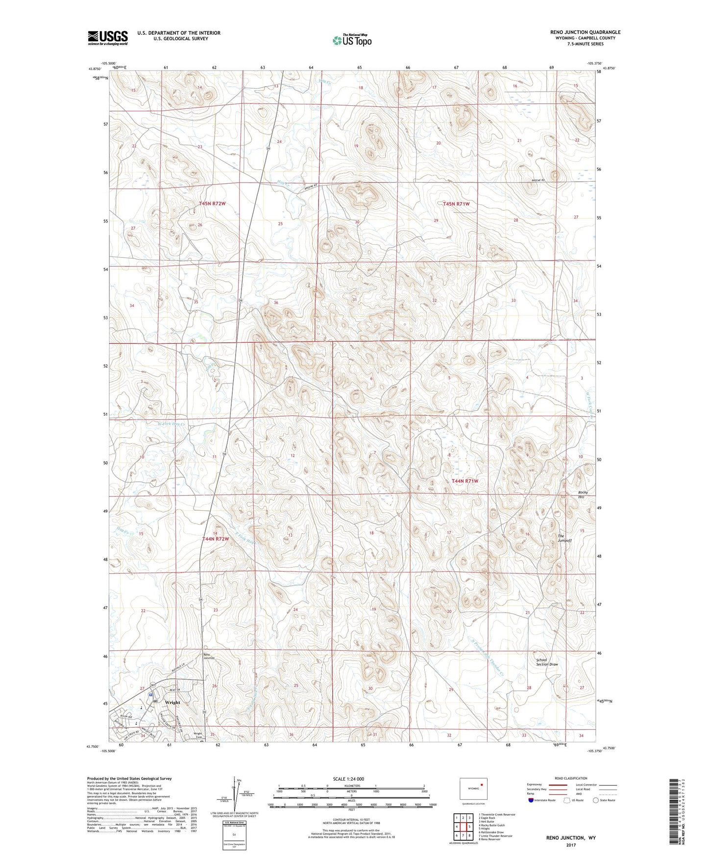
2021 topographic map quadrangle Reno Junction in the state of Wyoming. Scale: 1:24000. Based on the newly updated USGS 7.5' US Topo map series, this map is in the following counties: Campbell. The map contains contour data, water features, and other items you are used to seeing on USGS maps, but also has updated roads and other features. This is the next generation of topographic maps. Printed on high-quality waterproof paper with UV fade-resistant inks.
Quads adjacent to this one:
West: Rocky Butte Gulch
Northwest: Threemile Creek Reservoir
North: Eagle Rock
Northeast: Neil Butte
East: Hilight
Southeast: Reno Reservoir
South: Little Thunder Reservoir
Southwest: Rattlesnake Draw
This map covers the same area as the classic USGS quad with code o43105g4.
Contains the following named places: Boller Ranch, Campbell County Sheriff's Office - Wright, Durham Ranch, East Fork Hay Creek, Lokker Well, Meadowlark Number Six Pit, Reno Junction, Rocky Hill, Sager Reservoir, School Section Draw, The Jumpoff, West Fork Hay Creek, Wright Cemetery, Wright Junior - Senior High School, Wright Post Office