MyTopo
Nipple Butte Wyoming US Topo Map
Couldn't load pickup availability
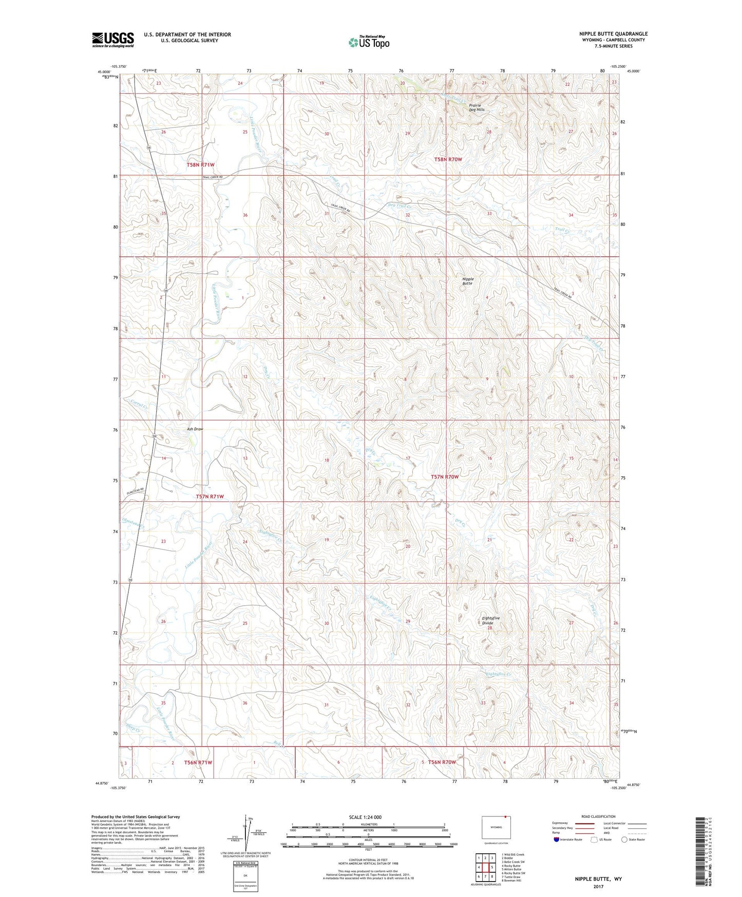
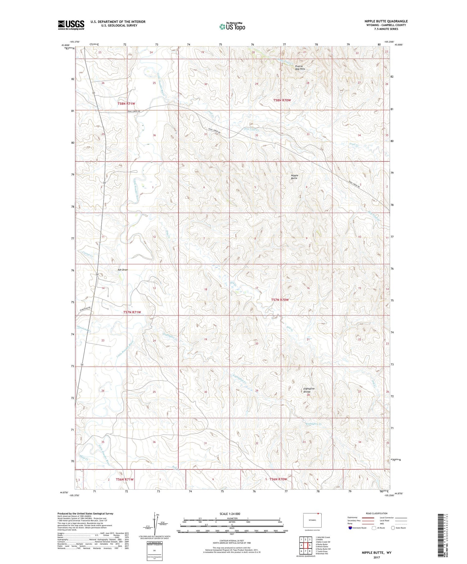
2021 topographic map quadrangle Nipple Butte in the state of Wyoming. Scale: 1:24000. Based on the newly updated USGS 7.5' US Topo map series, this map is in the following counties: Campbell. The map contains contour data, water features, and other items you are used to seeing on USGS maps, but also has updated roads and other features. This is the next generation of topographic maps. Printed on high-quality waterproof paper with UV fade-resistant inks.
Quads adjacent to this one:
West: Rocky Butte
Northwest: Wild Bill Creek
North: Biddle
Northeast: Belle Creek SW
East: Mitten Butte
Southeast: Bowman Hill
South: Tuttle Draw
Southwest: Rocky Butte SW
Contains the following named places: Ash Draw, Bell Creek, Corral Creek, Deep Creek, Dry Creek, Dry Trail Creek, Eightyfive Creek, Nipple Butte, Olmstead Creek, Prairie Dog Hills, Trail Creek