MyTopo
Wild Bill Creek Montana US Topo Map
Couldn't load pickup availability
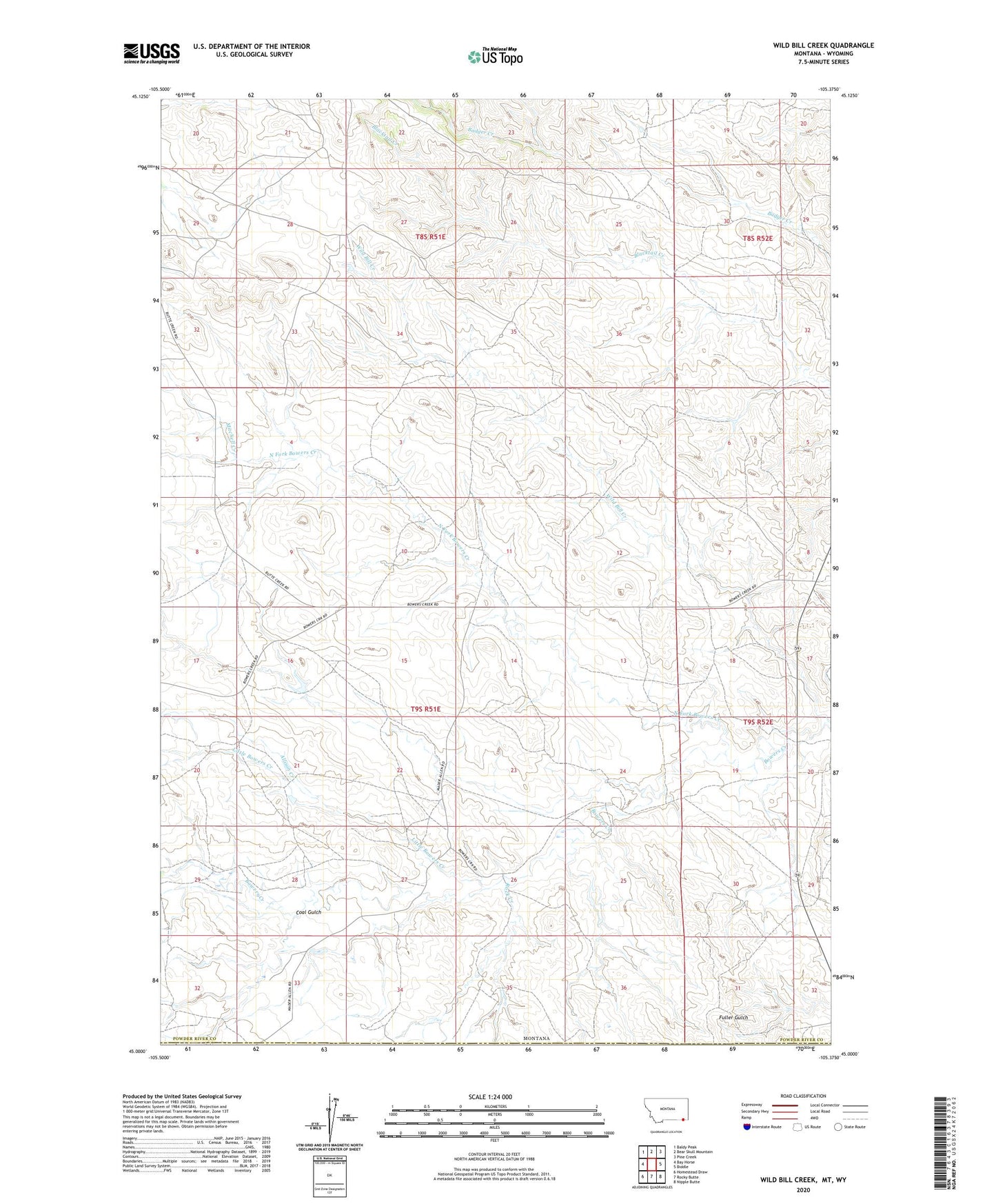
2024 topographic map quadrangle Wild Bill Creek in the state of Montana. Scale: 1:24000. Based on the newly updated USGS 7.5' US Topo map series, this map is in the following counties: Powder River, Campbell. The map contains contour data, water features, and other items you are used to seeing on USGS maps, but also has updated roads and other features. This is the next generation of topographic maps. Printed on high-quality waterproof paper with UV fade-resistant inks.
Quads adjacent to this one:
West: Bay Horse
Northwest: Baldy Peak
North: Bear Skull Mountain
Northeast: Pine Creek
East: Biddle
Southeast: Nipple Butte
South: Rocky Butte
Southwest: Homestead Draw
Contains the following named places: 05S51E35CA__01 Well, 09S51E20AADD01 Well, 09S51E21DBBB01 Well, 09S51E22AD__01 Well, 09S51E22ADDB01 Well, 09S52E18BDBD01 Well, 09S52E21CADB01 Well, Allison Creek, Bowers Number 1 Dam, Coal Gulch, Little Bowers Creek, Mitchell Creek, North Fork Bowers Creek, Rock Creek