MyTopo
Observation Peak Wyoming US Topo Map
Couldn't load pickup availability
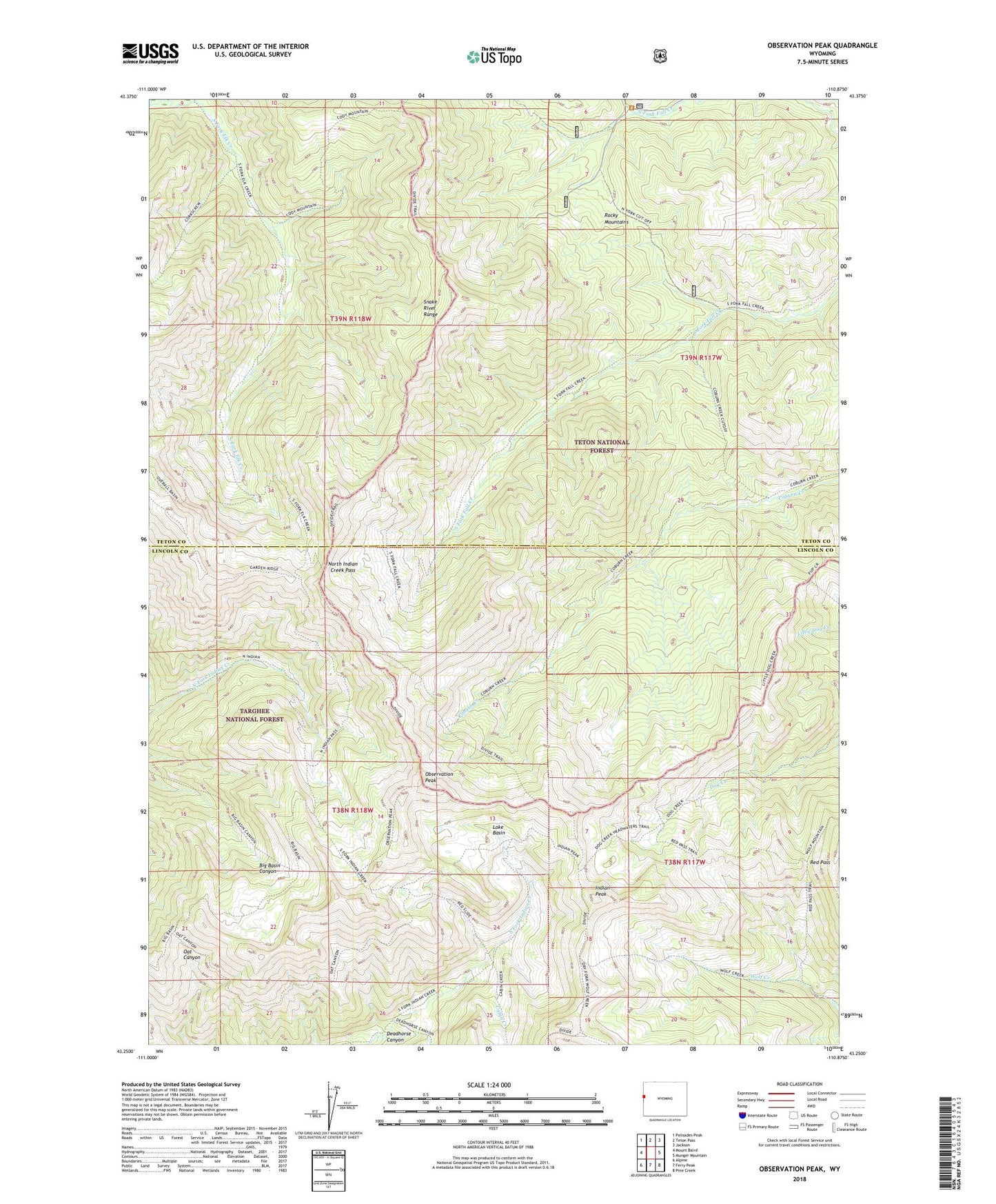
2021 topographic map quadrangle Observation Peak in the state of Wyoming. Scale: 1:24000. Based on the newly updated USGS 7.5' US Topo map series, this map is in the following counties: Teton, Lincoln. The map contains contour data, water features, and other items you are used to seeing on USGS maps, but also has updated roads and other features. This is the next generation of topographic maps. Printed on high-quality waterproof paper with UV fade-resistant inks.
Quads adjacent to this one:
West: Mount Baird
Northwest: Palisades Peak
North: Teton Pass
Northeast: Jackson
East: Munger Mountain
Southeast: Pine Creek
South: Ferry Peak
Southwest: Alpine
Contains the following named places: Cabin Creek, Deadhorse Canyon, Indian Peak, Lake Basin, North Fork Elk Creek, North Indian Creek Pass, Observation Peak, Red Pass, Rocky Mountains, Snake River Range, South Fork Elk Creek