MyTopo
Osborne Well Wyoming US Topo Map
Couldn't load pickup availability
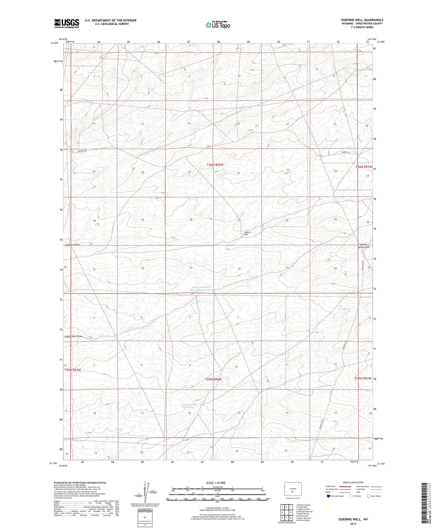
2021 topographic map quadrangle Osborne Well in the state of Wyoming. Scale: 1:24000. Based on the newly updated USGS 7.5' US Topo map series, this map is in the following counties: Sweetwater. The map contains contour data, water features, and other items you are used to seeing on USGS maps, but also has updated roads and other features. This is the next generation of topographic maps. Printed on high-quality waterproof paper with UV fade-resistant inks.
Quads adjacent to this one:
West: Antelope Reservoir
Northwest: Brenton Springs
North: Crooks Peak
Northeast: Sagebrush Park
East: Hadsell Spring
Southeast: Chicken Spring
South: Sooner Reservoir
Southwest: Battle Spring
This map covers the same area as the classic USGS quad with code o42107b7.
Contains the following named places: Crooked Well Reservoir, Eagle Nest Draw Reservoir Number 2, Eagle Nest Draw Reservoir Number 2 Dam, Gamma Ray Mine, Iris Mine, Osborne Well