MyTopo
P O Ranch Wyoming US Topo Map
Couldn't load pickup availability
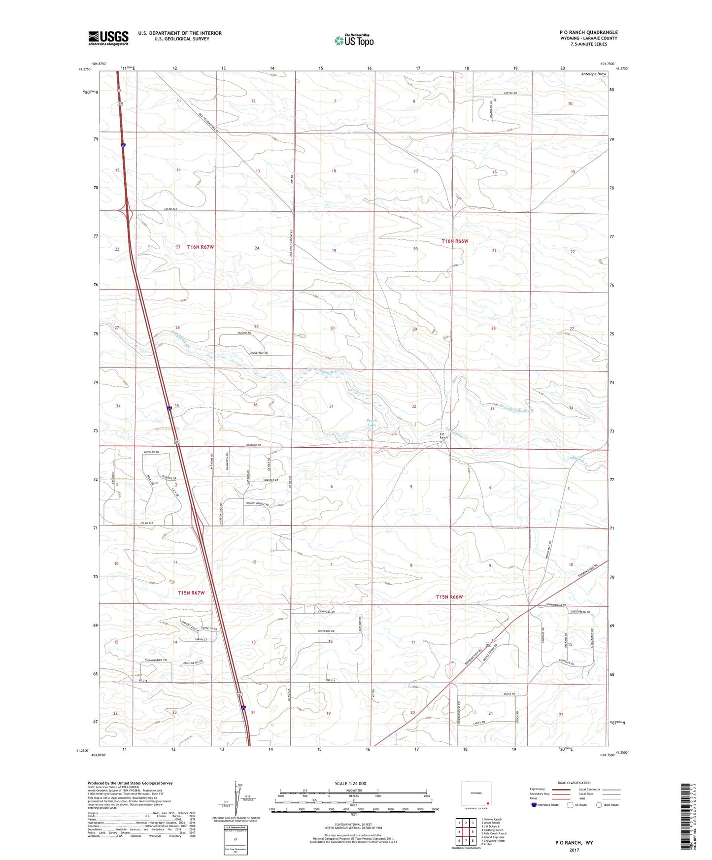
2021 topographic map quadrangle P O Ranch in the state of Wyoming. Scale: 1:24000. Based on the newly updated USGS 7.5' US Topo map series, this map is in the following counties: Laramie. The map contains contour data, water features, and other items you are used to seeing on USGS maps, but also has updated roads and other features. This is the next generation of topographic maps. Printed on high-quality waterproof paper with UV fade-resistant inks.
Quads adjacent to this one:
West: Farthing Ranch
Northwest: Nimmo Ranch
North: Lewis Ranch
Northeast: J H D Ranch
East: Pole Creek Ranch
Southeast: Archer
South: Cheyenne North
Southwest: Round Top Lake
This map covers the same area as the classic USGS quad with code o41104c7.
Contains the following named places: Goggins School, North Lodgepole Ditch, North Well, P O Ranch, Peach Lake, Ridley School, Snyder Well Number 20, ZIP Code: 82009