MyTopo
Picket Lake Wyoming US Topo Map
Couldn't load pickup availability
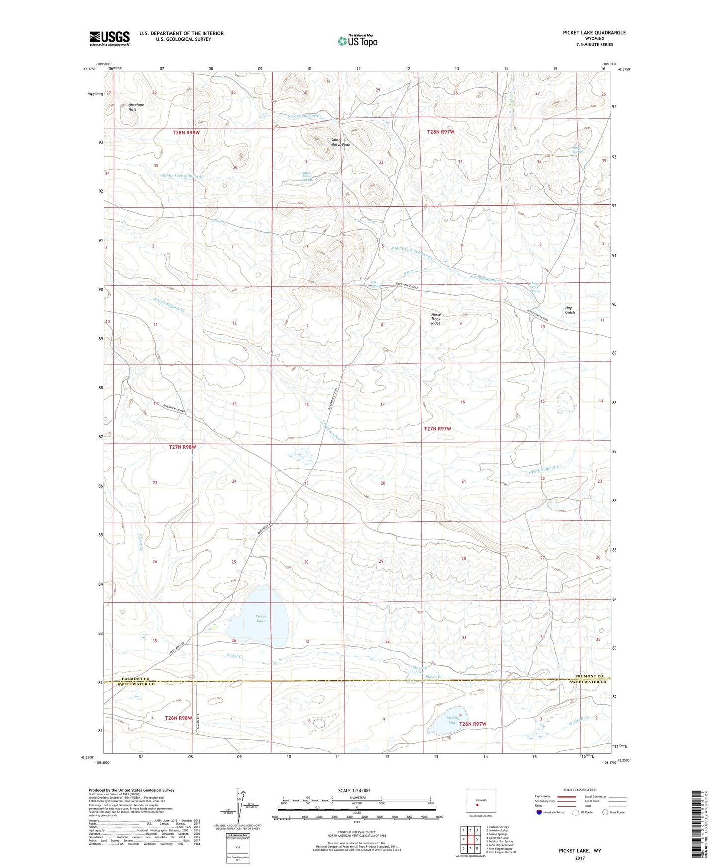
2021 topographic map quadrangle Picket Lake in the state of Wyoming. Scale: 1:24000. Based on the newly updated USGS 7.5' US Topo map series, this map is in the following counties: Fremont, Sweetwater. The map contains contour data, water features, and other items you are used to seeing on USGS maps, but also has updated roads and other features. This is the next generation of topographic maps. Printed on high-quality waterproof paper with UV fade-resistant inks.
Quads adjacent to this one:
West: Circle Bar Lake
Northwest: Radium Springs
North: Lewiston Lakes
Northeast: Barras Springs
East: Sulphur Bar Spring
Southeast: Five Fingers Butte NE
South: Five Fingers Butte
Southwest: John Hay Reservoir
This map covers the same area as the classic USGS quad with code o42108c4.
Contains the following named places: Buck Spring, Hay Gulch, Horse Track Ridge, Horse Track Spring, Kindt Ranch, McKay Lake, Middle Fork Sulphur Creek, Murray Lake, P B Creek, P B Spring, Picket Creek, Picket Lake, Saint Marys Peak, Saint Marys Spring