MyTopo
Pine Tree Wyoming US Topo Map
Couldn't load pickup availability
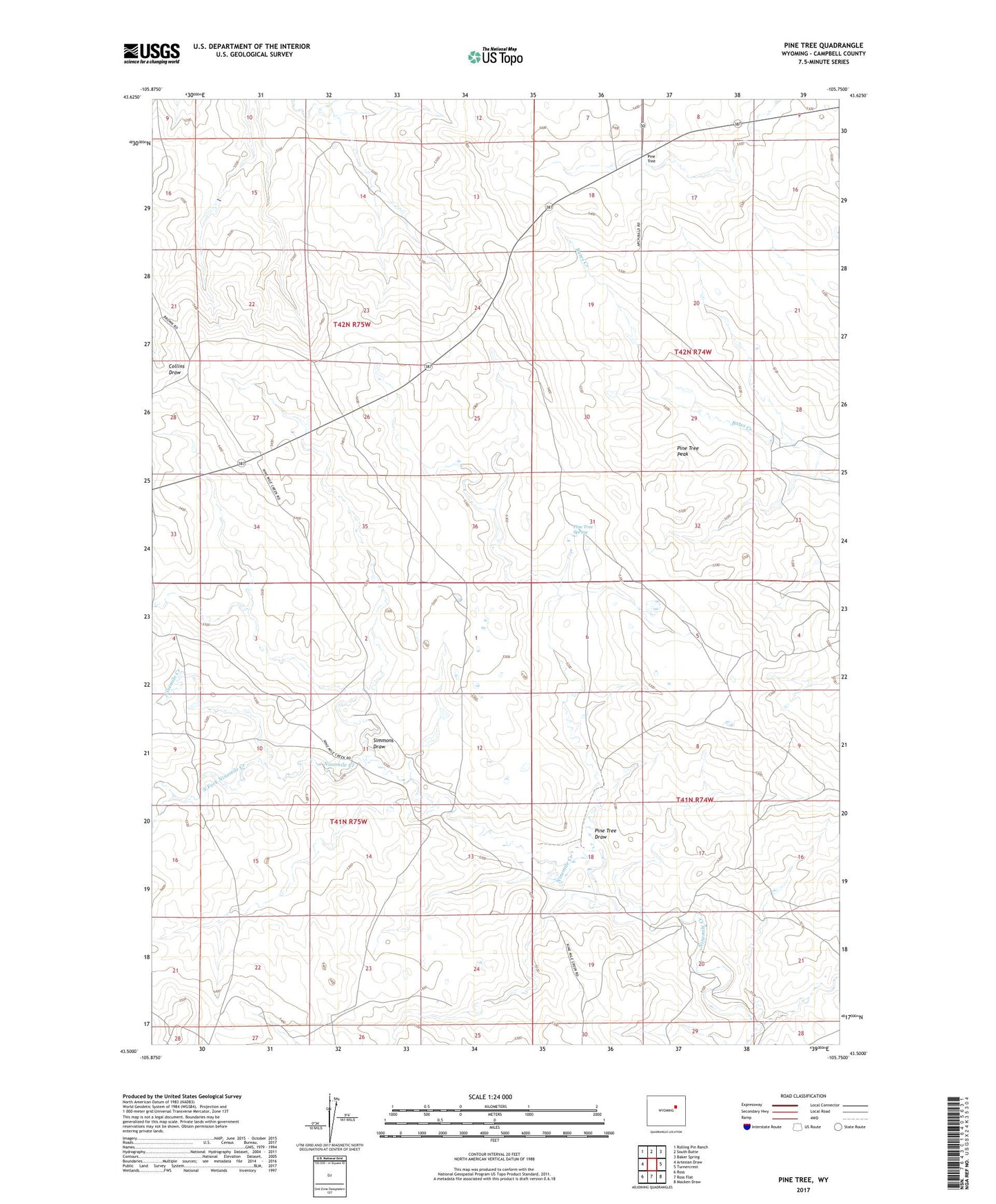
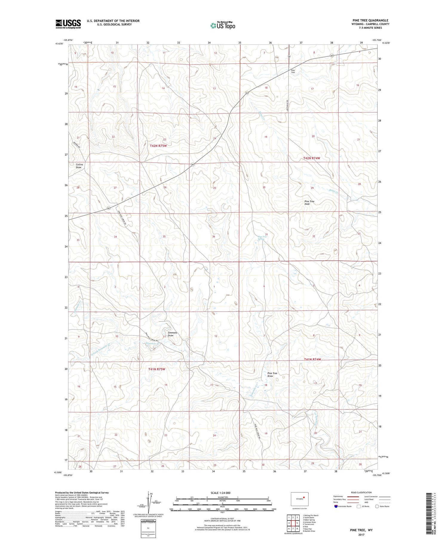
2021 topographic map quadrangle Pine Tree in the state of Wyoming. Scale: 1:24000. Based on the newly updated USGS 7.5' US Topo map series, this map is in the following counties: Campbell. The map contains contour data, water features, and other items you are used to seeing on USGS maps, but also has updated roads and other features. This is the next generation of topographic maps. Printed on high-quality waterproof paper with UV fade-resistant inks.
Quads adjacent to this one:
West: Artesian Draw
Northwest: Rolling Pin Ranch
North: South Butte
Northeast: Baker Spring
East: Turnercrest
Southeast: Macken Draw
South: Ross Flat
Southwest: Ross
Contains the following named places: Bozarth Ranch, Middaugh Dam, Middaugh Reservoir, Moore Ranch Mine, Ninemile Ranch, Pine Tree, Pine Tree Draw, Pine Tree Peak, Pine Tree Spring, Simmons Draw, South Fork Ninemile Creek, Van Gordan Ranch