MyTopo
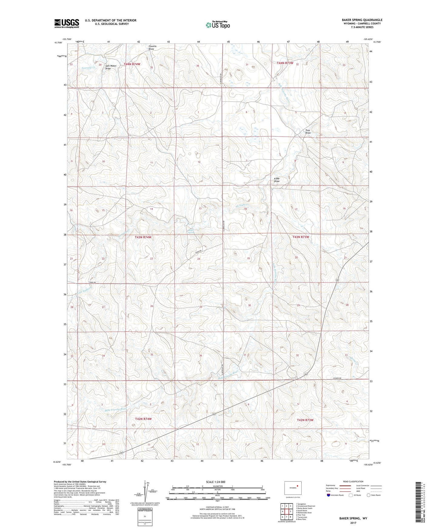
Baker Spring Wyoming US Topo Map
Couldn't load pickup availability
Also explore the Baker Spring Forest Service Topo of this same quad for updated USFS data
2021 topographic map quadrangle Baker Spring in the state of Wyoming. Scale: 1:24000. Based on the newly updated USGS 7.5' US Topo map series, this map is in the following counties: Campbell. The map contains contour data, water features, and other items you are used to seeing on USGS maps, but also has updated roads and other features. This is the next generation of topographic maps. Printed on high-quality waterproof paper with UV fade-resistant inks.
Quads adjacent to this one:
West: South Butte
Northwest: Savageton
North: Greasewood Reservoir
Northeast: Rocky Butte Gulch
East: Rattlesnake Draw
Southeast: Reno Flats
South: Turnercrest
Southwest: Pine Tree
This map covers the same area as the classic USGS quad with code o43105f6.
Contains the following named places: All Night Creek, Baker Spring, Cousins Draw, K Bar Draw, Mile High Ranch, Soft Water Draw, South All Night Creek, Tree Draw, Willard Ranch