MyTopo
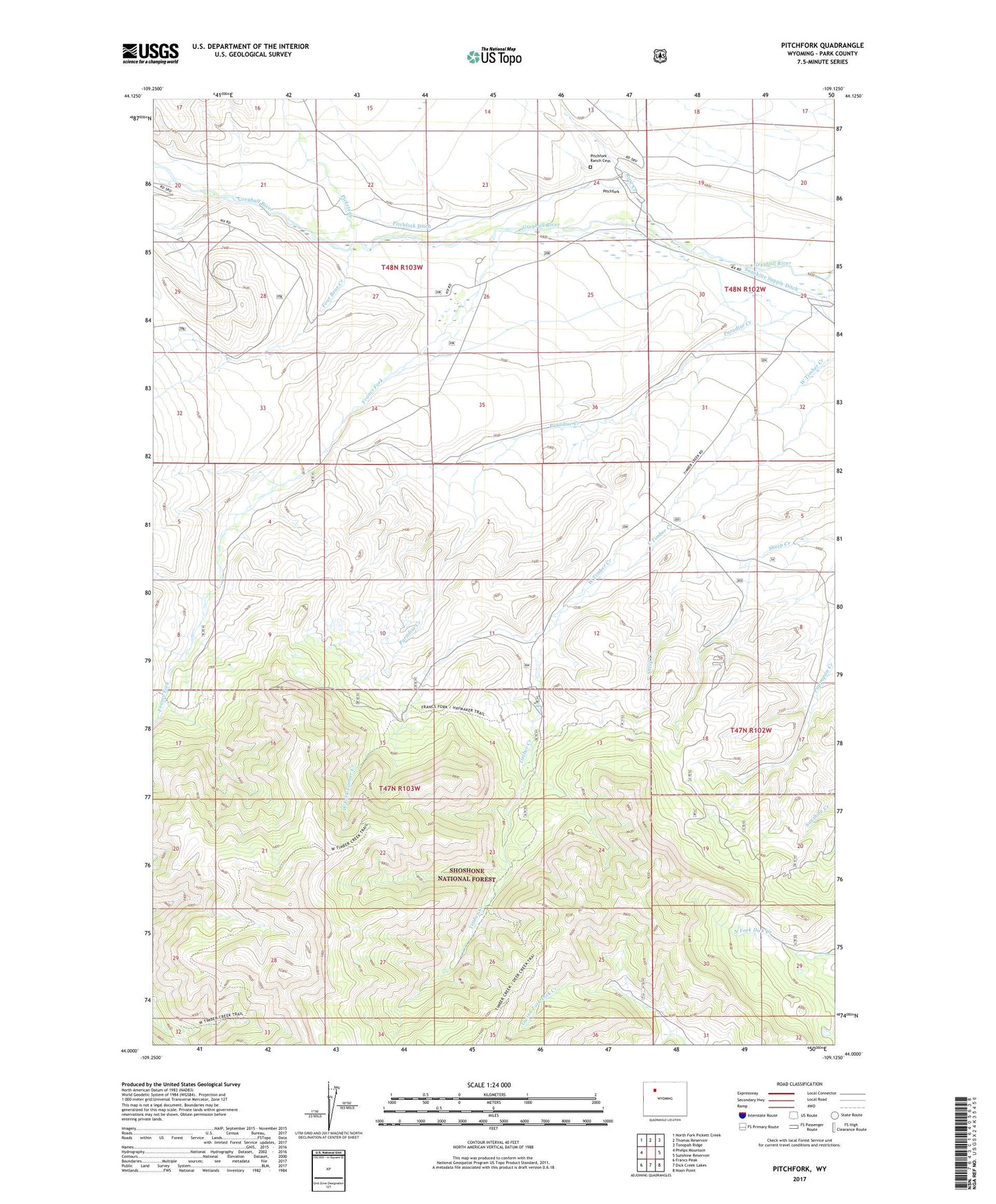
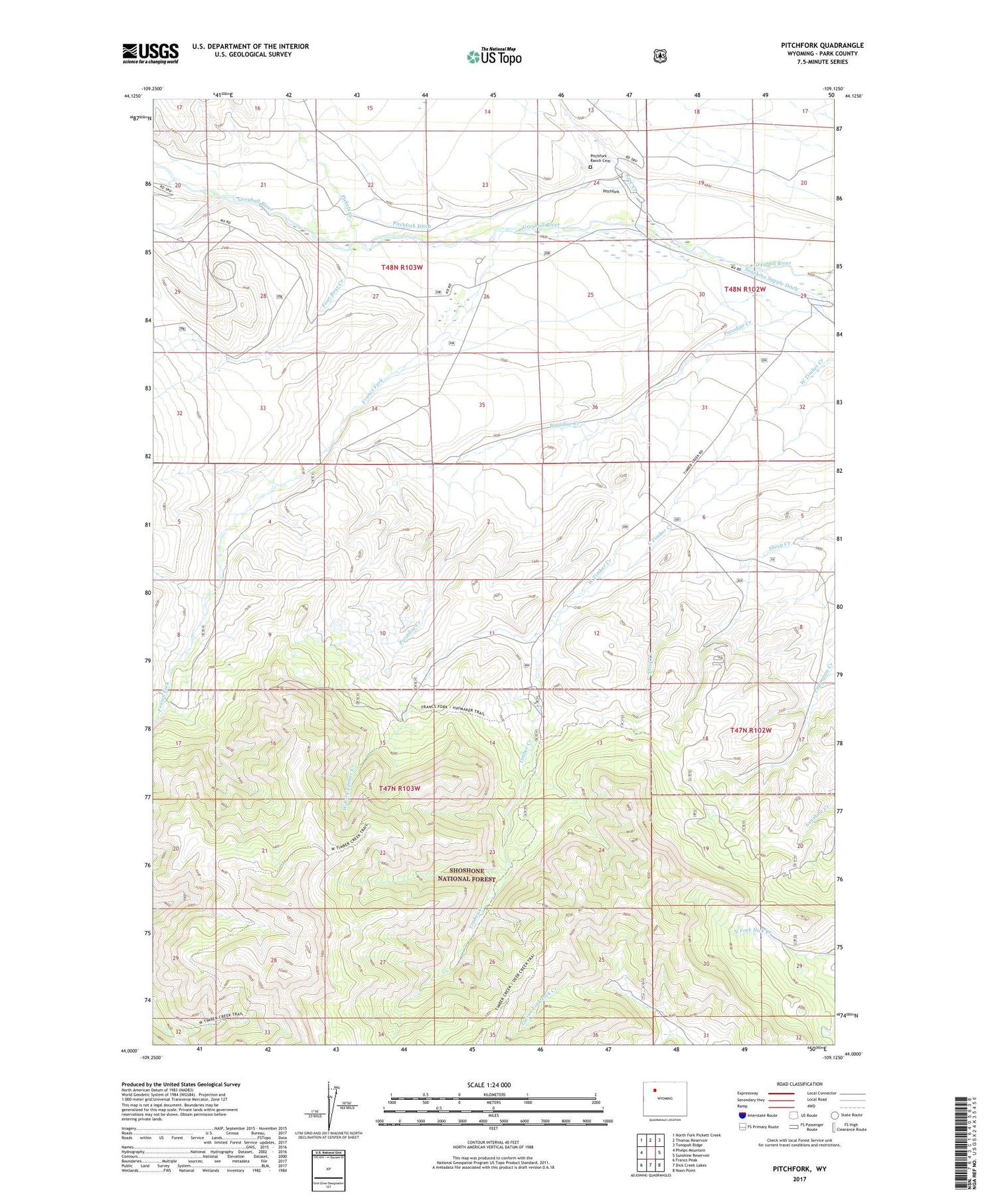
Pitchfork Wyoming US Topo Map
Couldn't load pickup availability
2021 topographic map quadrangle Pitchfork in the state of Wyoming. Scale: 1:24000. Based on the newly updated USGS 7.5' US Topo map series, this map is in the following counties: Park. The map contains contour data, water features, and other items you are used to seeing on USGS maps, but also has updated roads and other features. This is the next generation of topographic maps. Printed on high-quality waterproof paper with UV fade-resistant inks.
Quads adjacent to this one:
West: Phelps Mountain
Northwest: North Fork Pickett Creek
North: Thomas Reservoir
Northeast: Tonopah Ridge
East: Sunshine Reservoir
Southeast: Noon Point
South: Dick Creek Lakes
Southwest: Francs Peak
Contains the following named places: Four Bear Creek, Four Bear Oil Field, Francs Fork, Kay Creek, Pickett Creek, Pitchfork Ditch, Pitchfork Ranch Cemetery, Rose Creek, Timber Creek, Timber Creek Ranger Station, West Fork Timber Creek, Z Bar T Ranch