MyTopo
Reynolds Spring Wyoming US Topo Map
Couldn't load pickup availability
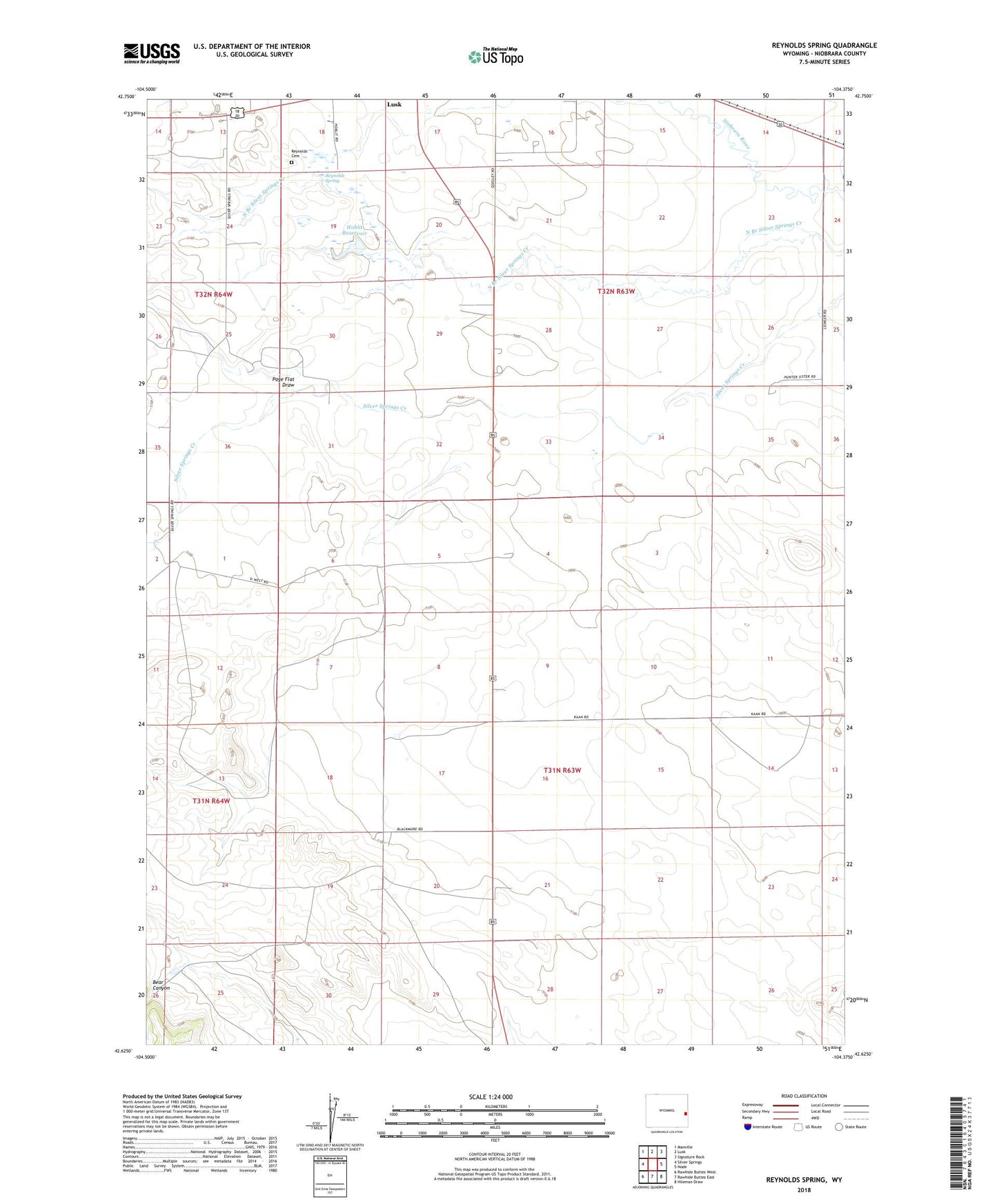
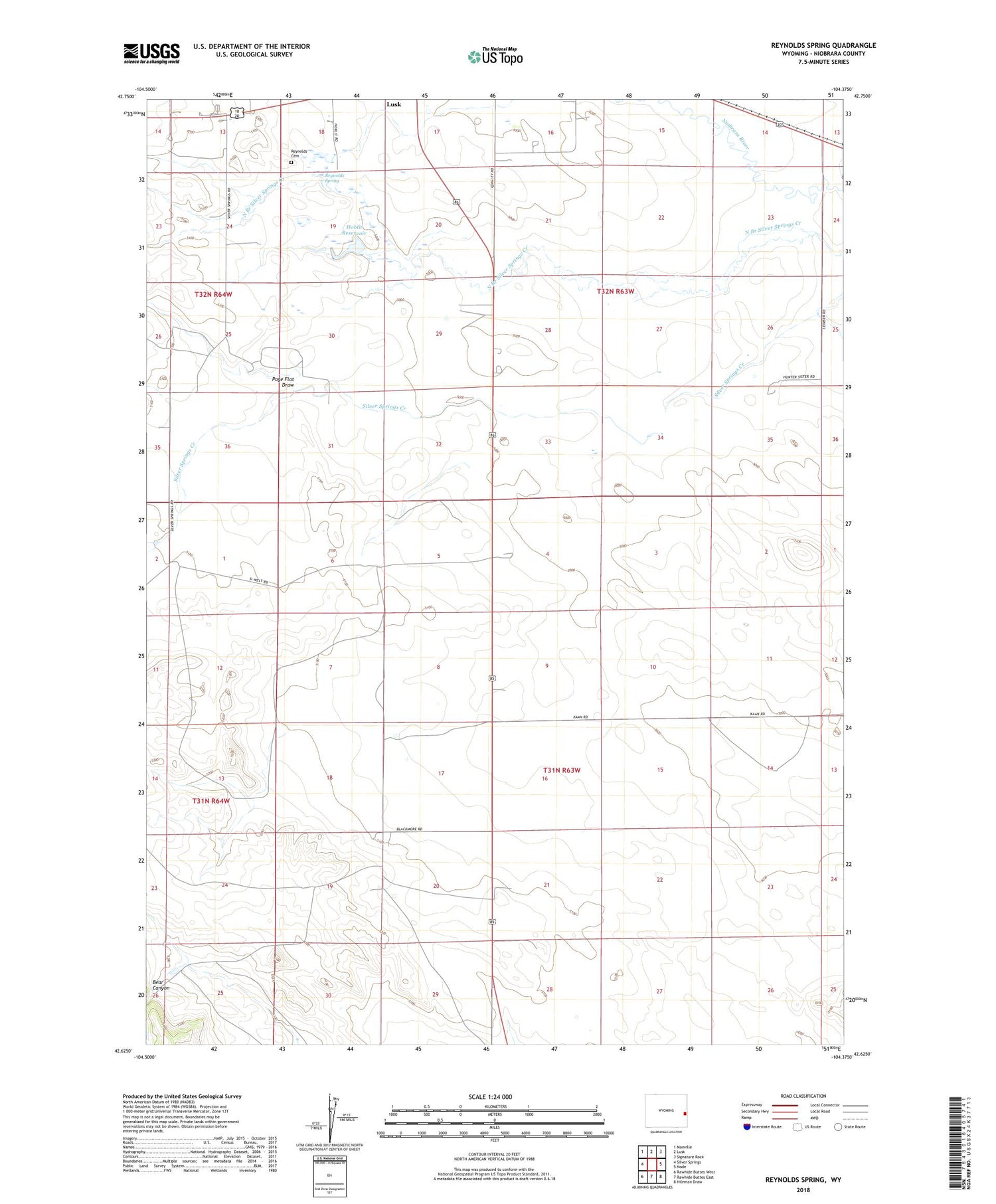
2021 topographic map quadrangle Reynolds Spring in the state of Wyoming. Scale: 1:24000. Based on the newly updated USGS 7.5' US Topo map series, this map is in the following counties: Niobrara. The map contains contour data, water features, and other items you are used to seeing on USGS maps, but also has updated roads and other features. This is the next generation of topographic maps. Printed on high-quality waterproof paper with UV fade-resistant inks.
Quads adjacent to this one:
West: Silver Springs
Northwest: Manville
North: Lusk
Northeast: Signature Rock
East: Node
Southeast: Hileman Draw
South: Rawhide Buttes East
Southwest: Rawhide Buttes West
Contains the following named places: Bear Canyon, Hoblit Dam, Hoblit Reservoir, North Branch Silver Springs Creek, Page Flat Draw, Reynolds Cemetery, Reynolds Spring