
MyTopo
Rogers Creek Wyoming US Topo Map
Couldn't load pickup availability
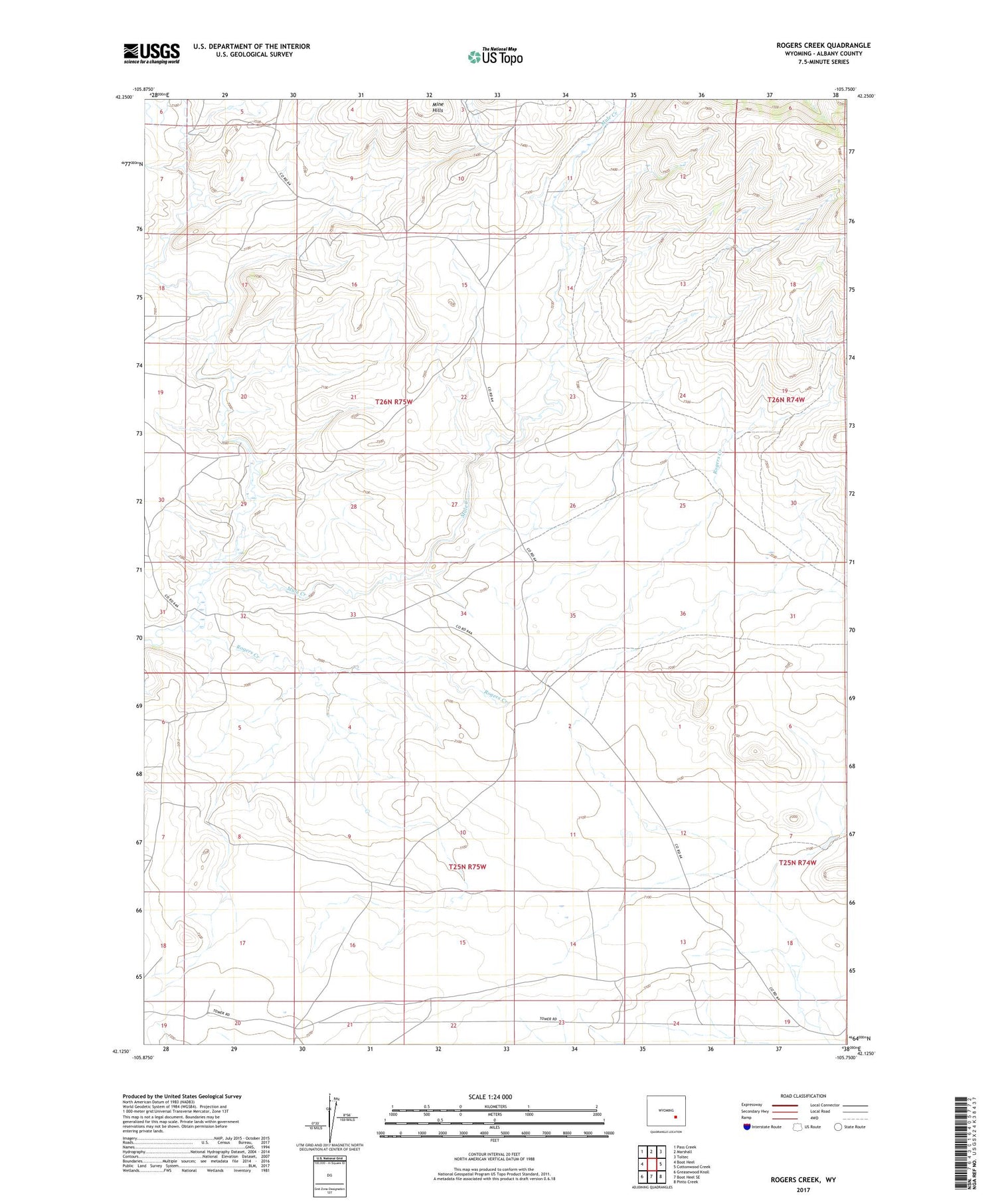
2021 topographic map quadrangle Rogers Creek in the state of Wyoming. Scale: 1:24000. Based on the newly updated USGS 7.5' US Topo map series, this map is in the following counties: Albany. The map contains contour data, water features, and other items you are used to seeing on USGS maps, but also has updated roads and other features. This is the next generation of topographic maps. Printed on high-quality waterproof paper with UV fade-resistant inks.
Quads adjacent to this one:
West: Boot Heel
Northwest: Pass Creek
North: Marshall
Northeast: Toltec
East: Cottonwood Creek
Southeast: Pinto Creek
South: Boot Heel SE
Southwest: Greasewood Knoll
Contains the following named places: Atkinson Ranch, Bean Creek, Grazing Number 1 Stock Dam, Grazing Number 1 Stock Reservoir, Mule Creek, Rogers Creek, Sheep Creek Mine, Wellbaum Dam, Wellbaum Reservoir, Whistler Creek


