MyTopo
Haybarn Hill Wyoming US Topo Map
Couldn't load pickup availability
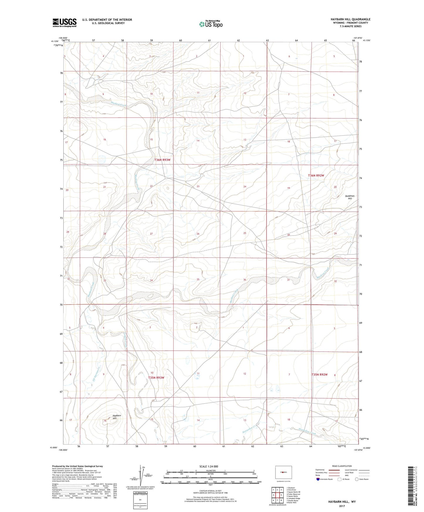
2021 topographic map quadrangle Haybarn Hill in the state of Wyoming. Scale: 1:24000. Based on the newly updated USGS 7.5' US Topo map series, this map is in the following counties: Fremont. The map contains contour data, water features, and other items you are used to seeing on USGS maps, but also has updated roads and other features. This is the next generation of topographic maps. Printed on high-quality waterproof paper with UV fade-resistant inks.
Quads adjacent to this one:
West: Fuller Reservoir
Northwest: Shoshoni
North: Ocla Draw
Northeast: Squaw Butte NE
East: Squaw Butte
Southeast: Butte Well
South: Double Butte
Southwest: Campbell Ridge
This map covers the same area as the classic USGS quad with code o43107a8.
Contains the following named places: Conant Creek, Davison Ranch, Deadman Hill, Haybarn Hill, Muskrat Creek Mine, Oil Springs Creek, Ore Ranch, Posey Ranch