MyTopo
Sibley Peak Wyoming US Topo Map
Couldn't load pickup availability
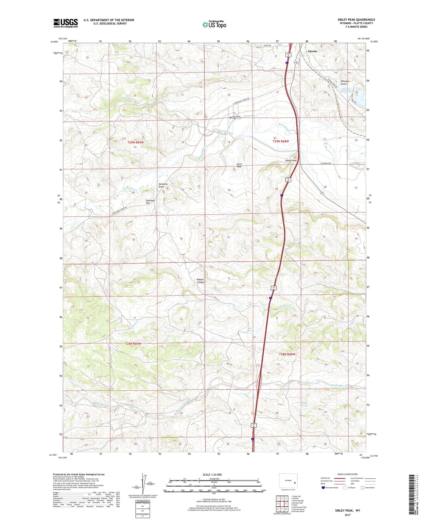
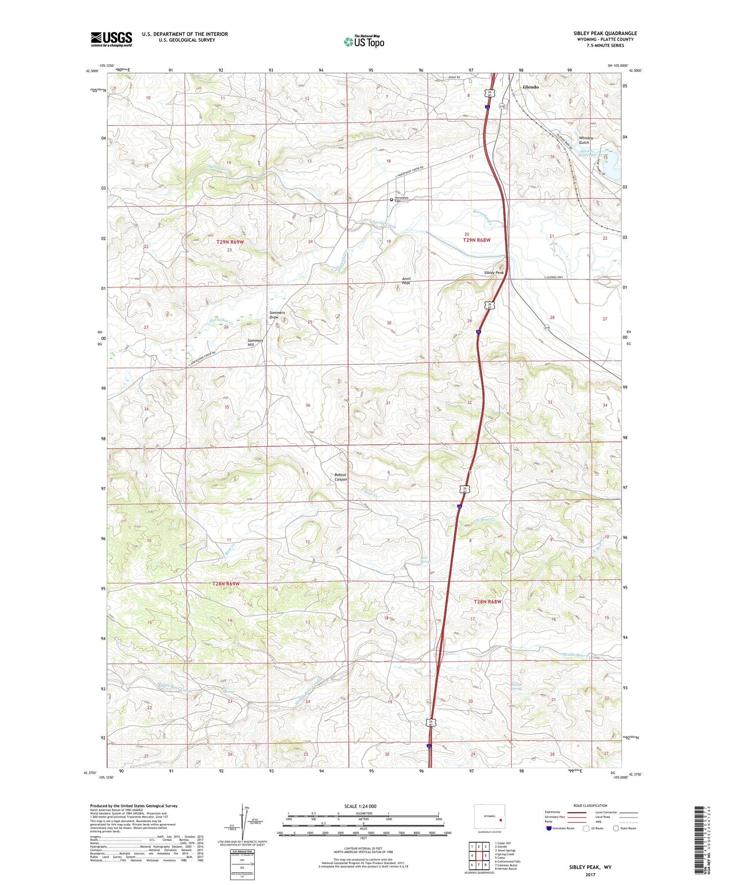
2021 topographic map quadrangle Sibley Peak in the state of Wyoming. Scale: 1:24000. Based on the newly updated USGS 7.5' US Topo map series, this map is in the following counties: Platte. The map contains contour data, water features, and other items you are used to seeing on USGS maps, but also has updated roads and other features. This is the next generation of topographic maps. Printed on high-quality waterproof paper with UV fade-resistant inks.
Quads adjacent to this one:
West: Spring Creek
Northwest: Cedar Hill
North: Glendo
Northeast: Jewel Springs
East: Cassa
Southeast: Herman Ranch
South: Coleman Butte
Southwest: Cottonwood Falls
Contains the following named places: Anvil Peak, Bear Spring, Bobcat Canyon, Box Springs, Cassa Area Mine, Downey Reservoir Number 1, Glendo Division, Horseshoe Cemetery, Horseshoe Pony Express Station, Sibley Peak, Sommers Draw, Sommers Hill, Spring Creek, Whiskey Gulch, Willow Spring, ZIP Code: 82213