MyTopo
Stud Horse Butte Wyoming US Topo Map
Couldn't load pickup availability
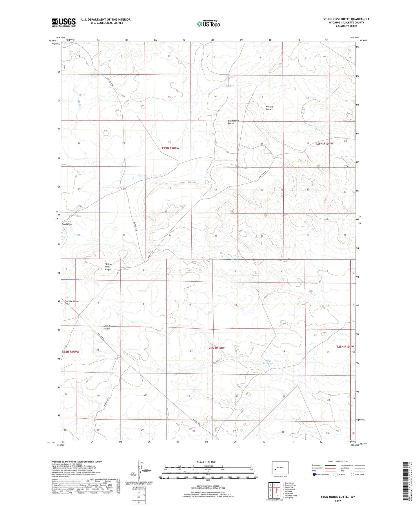
2021 topographic map quadrangle Stud Horse Butte in the state of Wyoming. Scale: 1:24000. Based on the newly updated USGS 7.5' US Topo map series, this map is in the following counties: Sublette. The map contains contour data, water features, and other items you are used to seeing on USGS maps, but also has updated roads and other features. This is the next generation of topographic maps. Printed on high-quality waterproof paper with UV fade-resistant inks.
Quads adjacent to this one:
West: Sugar Loaf NE
Northwest: Olsen Ranch
North: Gobblers Knob
Northeast: Square Top
East: Bull Draw
Southeast: Juel Spring
South: Teakettle Butte
Southwest: Sugar Loaf
This map covers the same area as the classic USGS quad with code o42109d6.
Contains the following named places: Jonah Reservoir, Stud Horse Butte, Yellow Point Ridge