
MyTopo
Tabletop Wyoming US Topo Map
Couldn't load pickup availability
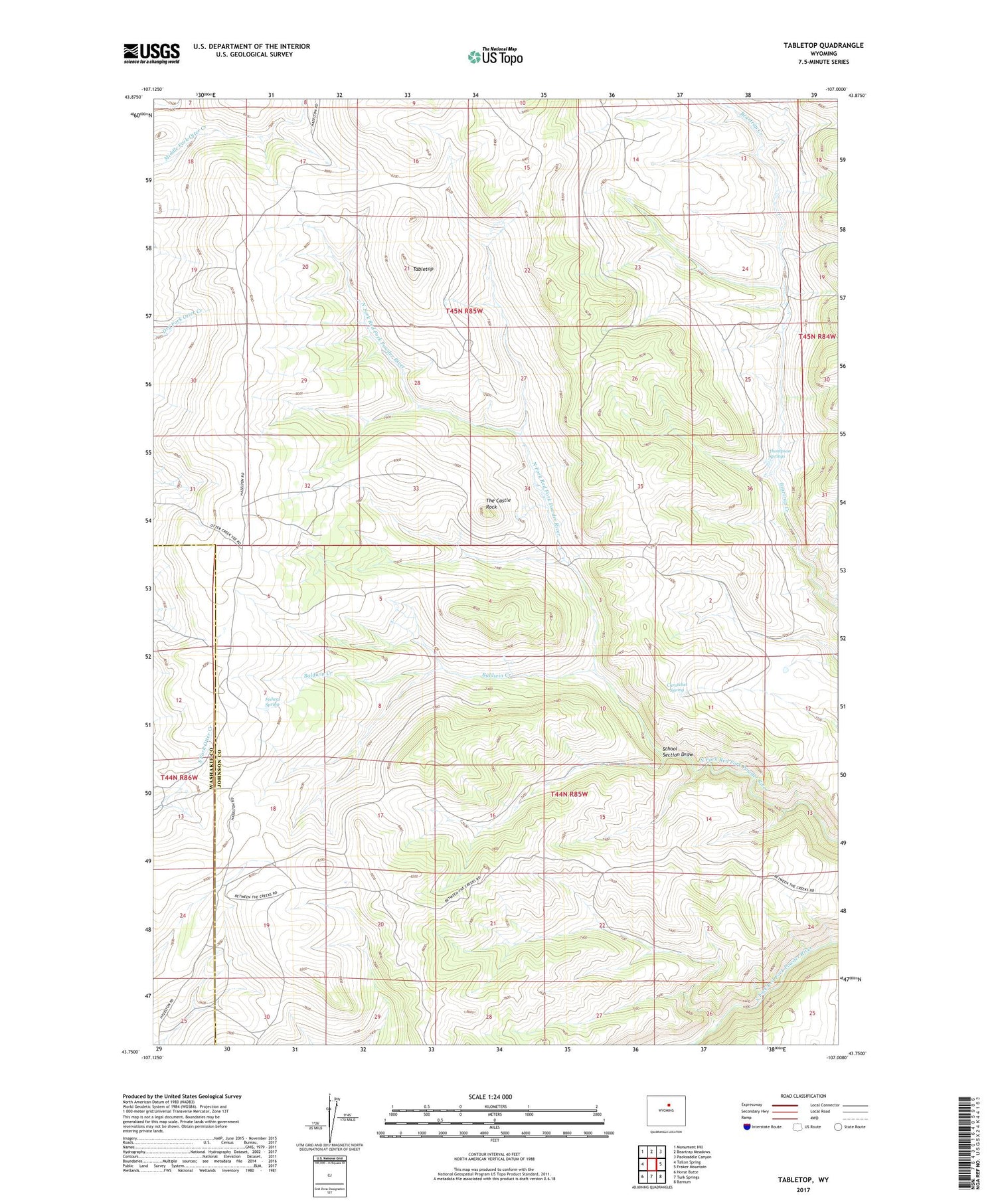
2021 topographic map quadrangle Tabletop in the state of Wyoming. Scale: 1:24000. Based on the newly updated USGS 7.5' US Topo map series, this map is in the following counties: Johnson, Washakie. The map contains contour data, water features, and other items you are used to seeing on USGS maps, but also has updated roads and other features. This is the next generation of topographic maps. Printed on high-quality waterproof paper with UV fade-resistant inks.
Quads adjacent to this one:
West: Tallon Spring
Northwest: Monument Hill
North: Beartrap Meadows
Northeast: Packsaddle Canyon
East: Fraker Mountain
Southeast: Barnum
South: Turk Springs
Southwest: Horse Butte
Contains the following named places: Baldwin Creek, Curutchet Spring, Durand Number One Mine, Durand Number Two Mine, Fishers Spring, Hess Cabin, Mayworth Number Five Mine, Mayworth Number Nine Mine, Mayworth Number One Mine, Mayworth Number Six Mine, School Section Draw, Slate Ridge Number Eight Mine, Slate Ridge Number Nine Mine, Slate Ridge Number Ten Mine, Tabletop, The Castle Rock, Thompson Springs


