MyTopo
Barnum Wyoming US Topo Map
Couldn't load pickup availability
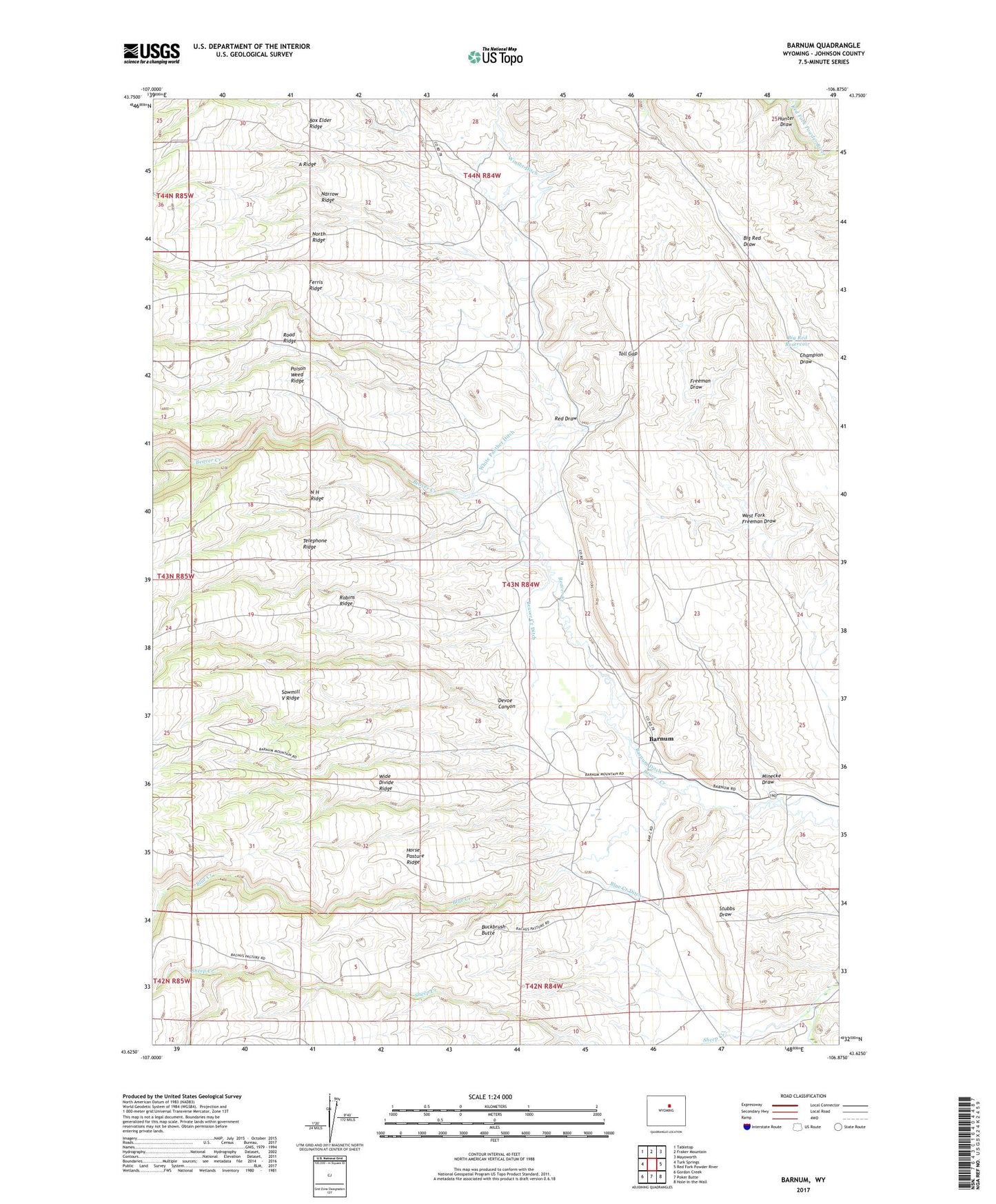
2021 topographic map quadrangle Barnum in the state of Wyoming. Scale: 1:24000. Based on the newly updated USGS 7.5' US Topo map series, this map is in the following counties: Johnson. The map contains contour data, water features, and other items you are used to seeing on USGS maps, but also has updated roads and other features. This is the next generation of topographic maps. Printed on high-quality waterproof paper with UV fade-resistant inks.
Quads adjacent to this one:
West: Turk Springs
Northwest: Tabletop
North: Fraker Mountain
Northeast: Mayoworth
East: Red Fork Powder River
Southeast: Hole-in-the-Wall
South: Poker Butte
Southwest: Gordon Creek
This map covers the same area as the classic USGS quad with code o43106f8.
Contains the following named places: A Ridge, Barnum, Barnum Ditch, Beaver Creek Ditch, Big Red Dam, Big Red Reservoir, Blue Creek, Blue Creek Ditch, Blue Creek Ranch, Box Elder Ridge, Brock Camp, Buckbrush Butte, Cottonwood Creek, D Cross Ranch, Devoe Canyon, Ferris Ridge, Freeman Ditch, Freeman Number 3 Dam, Freeman Number 3 Reservoir, Graves Ditch, Graves Ranch, Horse Pasture Ridge, Hunter Draw, McCarthy Number 1 Dam, McCarthy Reservoir Number 1, Minecke Draw, N H Ridge, Narrow Ridge, North Ridge, Poison Weed Ridge, Red Draw, Red Fork Number Two Mine, Road Ridge, Robins Ridge, Rowan Spring, Sawmill V Ridge, Sheep Creek, Telephone Ridge, Toll Gap, West Fork Freeman Draw, White Panther Ditch, Wide Divide Ridge, Winsor Ditch, Wolcott Ranch