MyTopo
The Rocks Wyoming US Topo Map
Couldn't load pickup availability
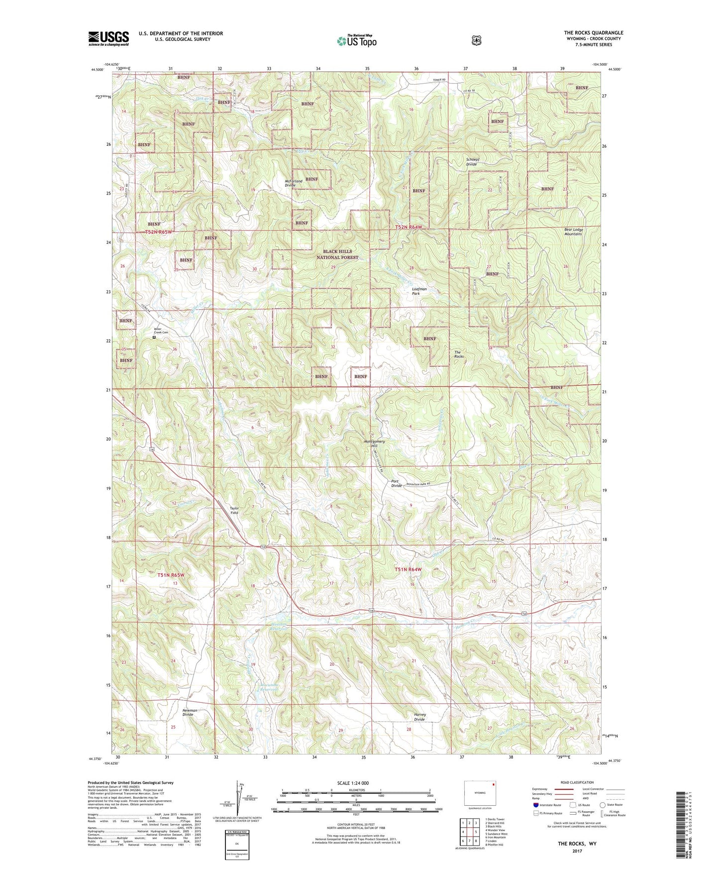
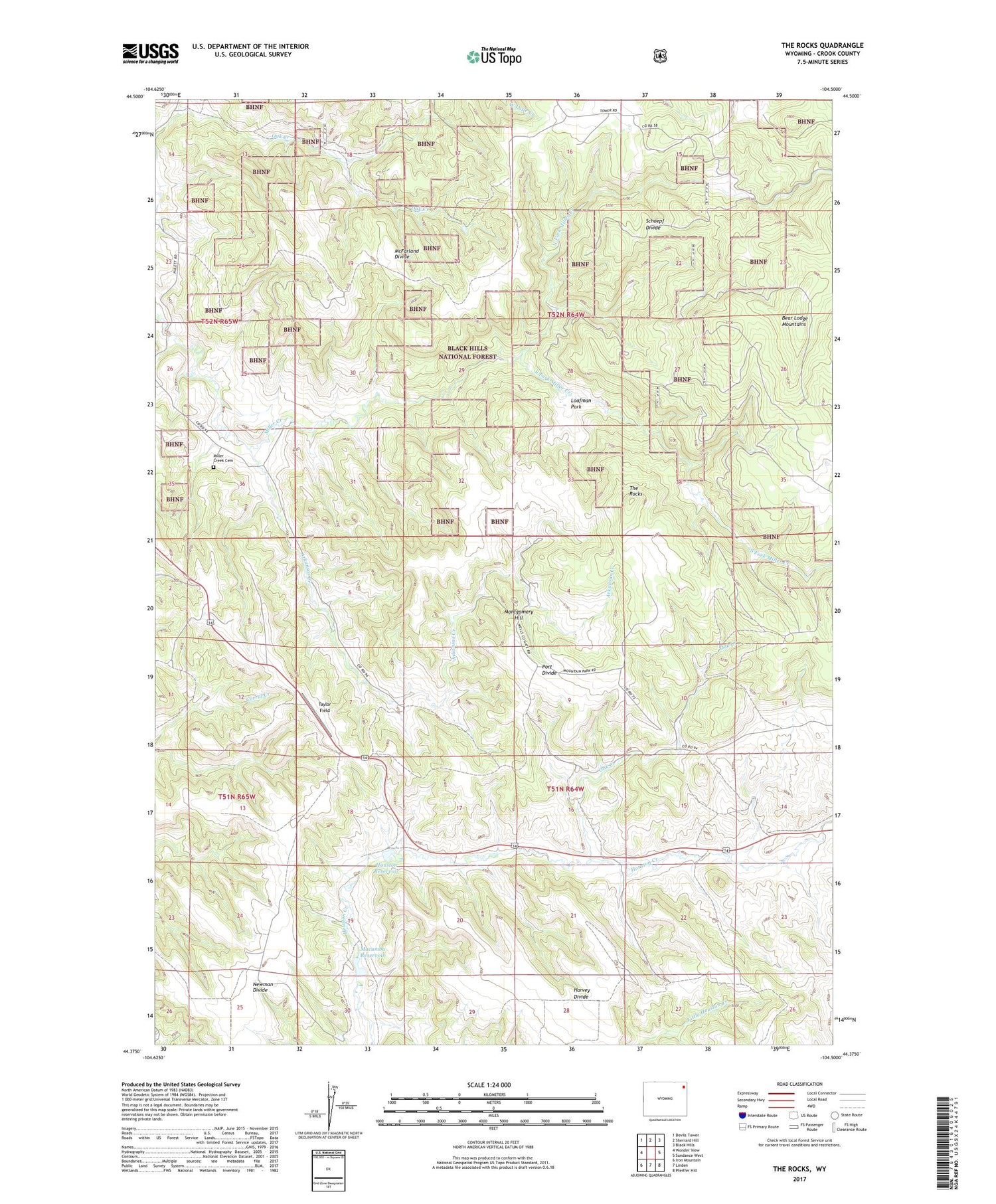
2021 topographic map quadrangle The Rocks in the state of Wyoming. Scale: 1:24000. Based on the newly updated USGS 7.5' US Topo map series, this map is in the following counties: Crook. The map contains contour data, water features, and other items you are used to seeing on USGS maps, but also has updated roads and other features. This is the next generation of topographic maps. Printed on high-quality waterproof paper with UV fade-resistant inks.
Quads adjacent to this one:
West: Wonder View
Northwest: Devils Tower
North: Sherrard Hill
Northeast: Black Hills
East: Sundance West
Southeast: Pfeiffer Hill
South: Linden
Southwest: Iron Mountain
Contains the following named places: Arkansas Creek, Bear Lodge Ranch, Haley Ranch, Harvey Divide, Houston Dam, Houston Reservoir, Loafman Park, Lost Lake, Macumba Dam, Macumba Reservoir, McFarland Divide, Middle Fork Miller Creek, Miller Creek Cemetery, Miller Creek Dam, Miller Creek Reservoir, Montgomery Hill, Newman Divide, North Fork Miller Creek, Oak Creek, Port Divide, Schoepf Divide, Snider School, Snook Ranch, South Fork Miller Creek, Taylor Field, The Rocks, Trout Dam, Trout Reservoir, Yakju Dam, Yakju Reservoir