MyTopo
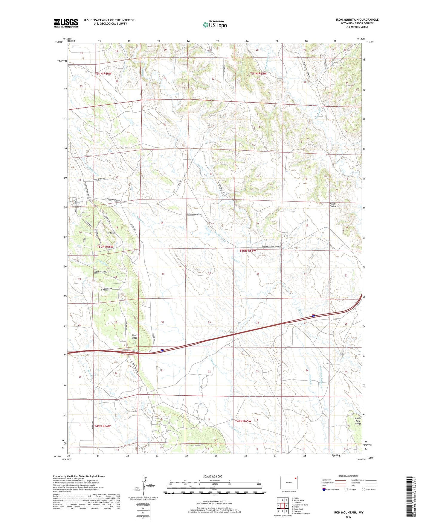
Iron Mountain Wyoming US Topo Map
Couldn't load pickup availability
2021 topographic map quadrangle Iron Mountain in the state of Wyoming. Scale: 1:24000. Based on the newly updated USGS 7.5' US Topo map series, this map is in the following counties: Crook. The map contains contour data, water features, and other items you are used to seeing on USGS maps, but also has updated roads and other features. This is the next generation of topographic maps. Printed on high-quality waterproof paper with UV fade-resistant inks.
Quads adjacent to this one:
West: Grasshopper Butte
Northwest: Carlile
North: Wonder View
Northeast: The Rocks
East: Linden
Southeast: Arrowhead Reservoir
South: Thornton
Southwest: Freda Creek
This map covers the same area as the classic USGS quad with code o44104c6.
Contains the following named places: Ames Ranch, Barton Oil Field, H K Divide, Iron Mountain, Little Pine Ridge Creek, Little Piney Creek, Nefsy Divide, Pine Ridge, Pine Ridge Creek, Road Dam, Road Reservoir, Sommers Dam, Sommers Reservoir, Tomcat Creek, Willow Creek