MyTopo
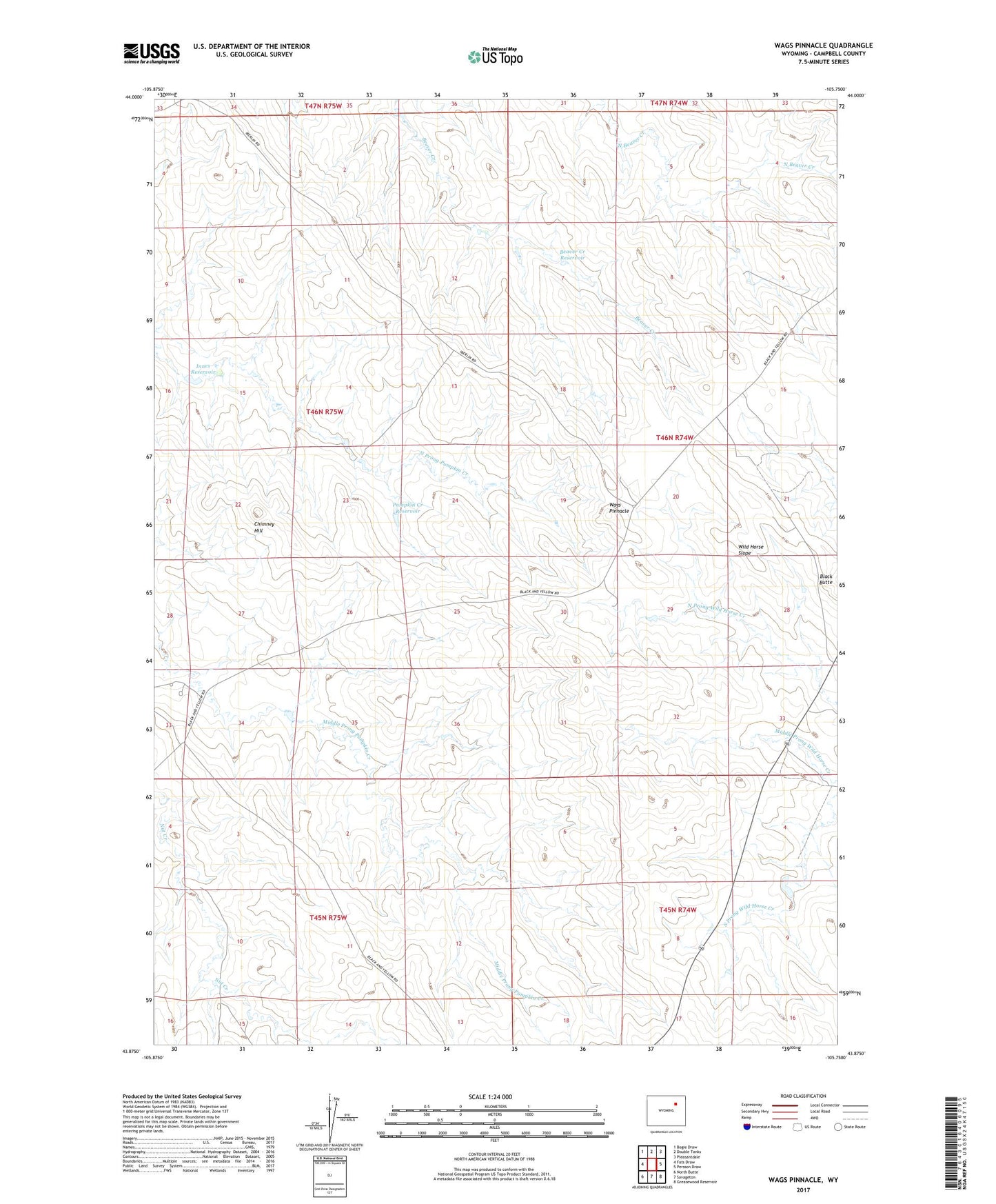
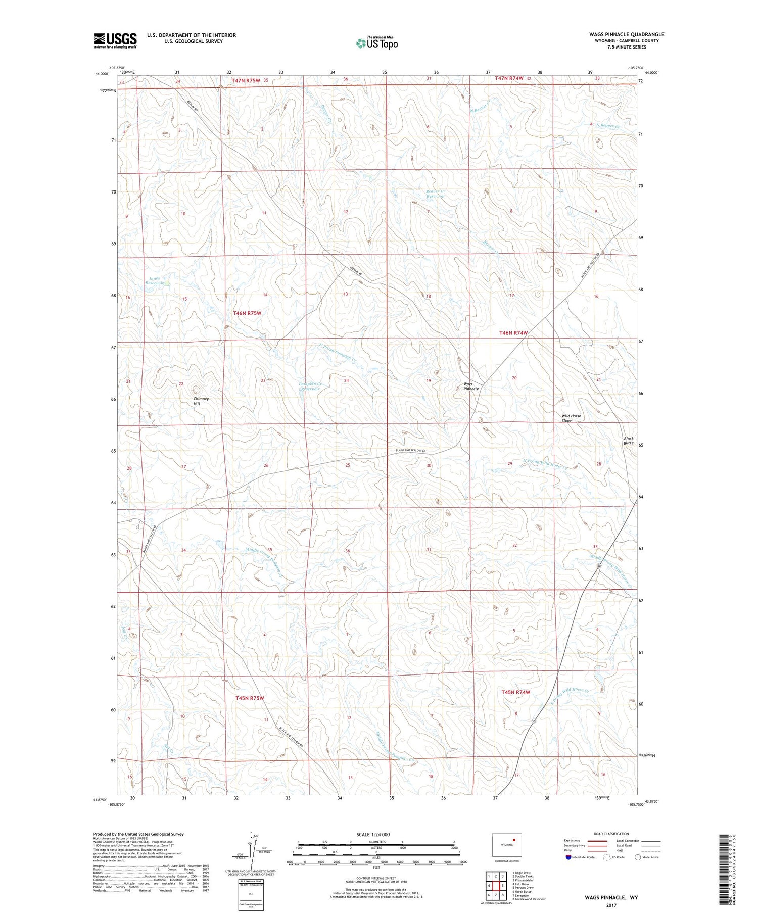
Wags Pinnacle Wyoming US Topo Map
Couldn't load pickup availability
2021 topographic map quadrangle Wags Pinnacle in the state of Wyoming. Scale: 1:24000. Based on the newly updated USGS 7.5' US Topo map series, this map is in the following counties: Campbell. The map contains contour data, water features, and other items you are used to seeing on USGS maps, but also has updated roads and other features. This is the next generation of topographic maps. Printed on high-quality waterproof paper with UV fade-resistant inks.
Quads adjacent to this one:
West: Fats Draw
Northwest: Bogie Draw
North: Double Tanks
Northeast: Pleasantdale
East: Persson Draw
Southeast: Greasewood Reservoir
South: Savageton
Southwest: North Butte
Contains the following named places: Auld Ranch, Beaver Creek Reservoir, Chimney Hill, Four-4 Line Camp Reservoir, Howell Ranch, Innes Dam, Innes Ranch, Innes Reservoir, Jordan Ranch, Pumpkin Creek Reservoir, Rassback Ranch, Schlautmann School, Wags Pinnacle, Wagstaff Ranch, Wild Horse Slope