MyTopo
Fats Draw Wyoming US Topo Map
Couldn't load pickup availability
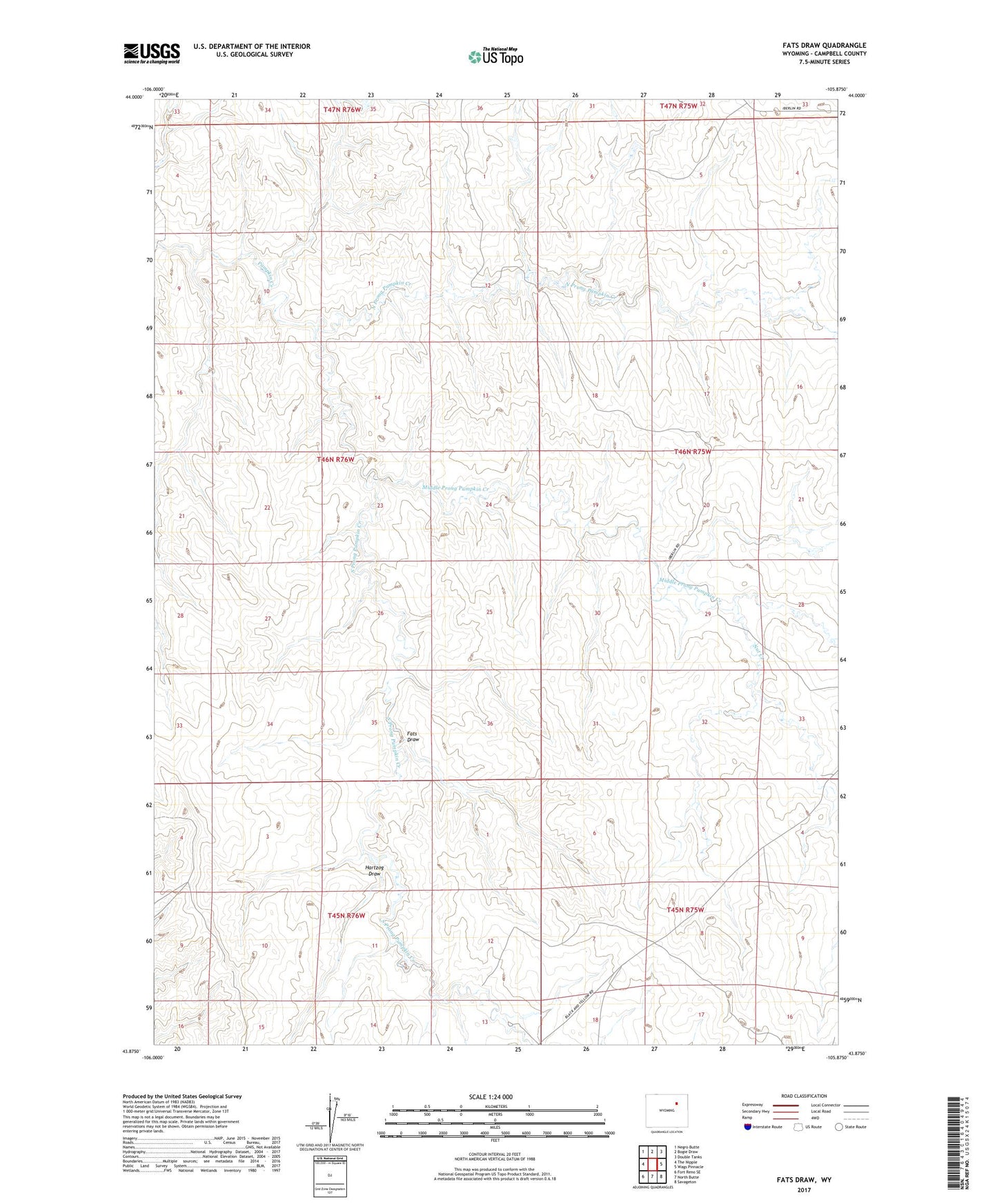
2021 topographic map quadrangle Fats Draw in the state of Wyoming. Scale: 1:24000. Based on the newly updated USGS 7.5' US Topo map series, this map is in the following counties: Campbell. The map contains contour data, water features, and other items you are used to seeing on USGS maps, but also has updated roads and other features. This is the next generation of topographic maps. Printed on high-quality waterproof paper with UV fade-resistant inks.
Quads adjacent to this one:
West: The Nipple
Northwest: Negro Butte
North: Bogie Draw
Northeast: Double Tanks
East: Wags Pinnacle
Southeast: Savageton
South: North Butte
Southwest: Fort Reno SE
This map covers the same area as the classic USGS quad with code o43105h8.
Contains the following named places: Christensen North Ranch, Fats Draw, Gilkie Ranch, Hartzog Draw, Iberlin Ranch Airport Nr 1, Middle Prong Pumpkin Creek, North Prong Pumpkin Creek, Nut Creek, Orr Claims Mine, Saunders Ranch, South Prong Pumpkin Creek, Wormwood Ranch