MyTopo
Bogie Draw Wyoming US Topo Map
Couldn't load pickup availability
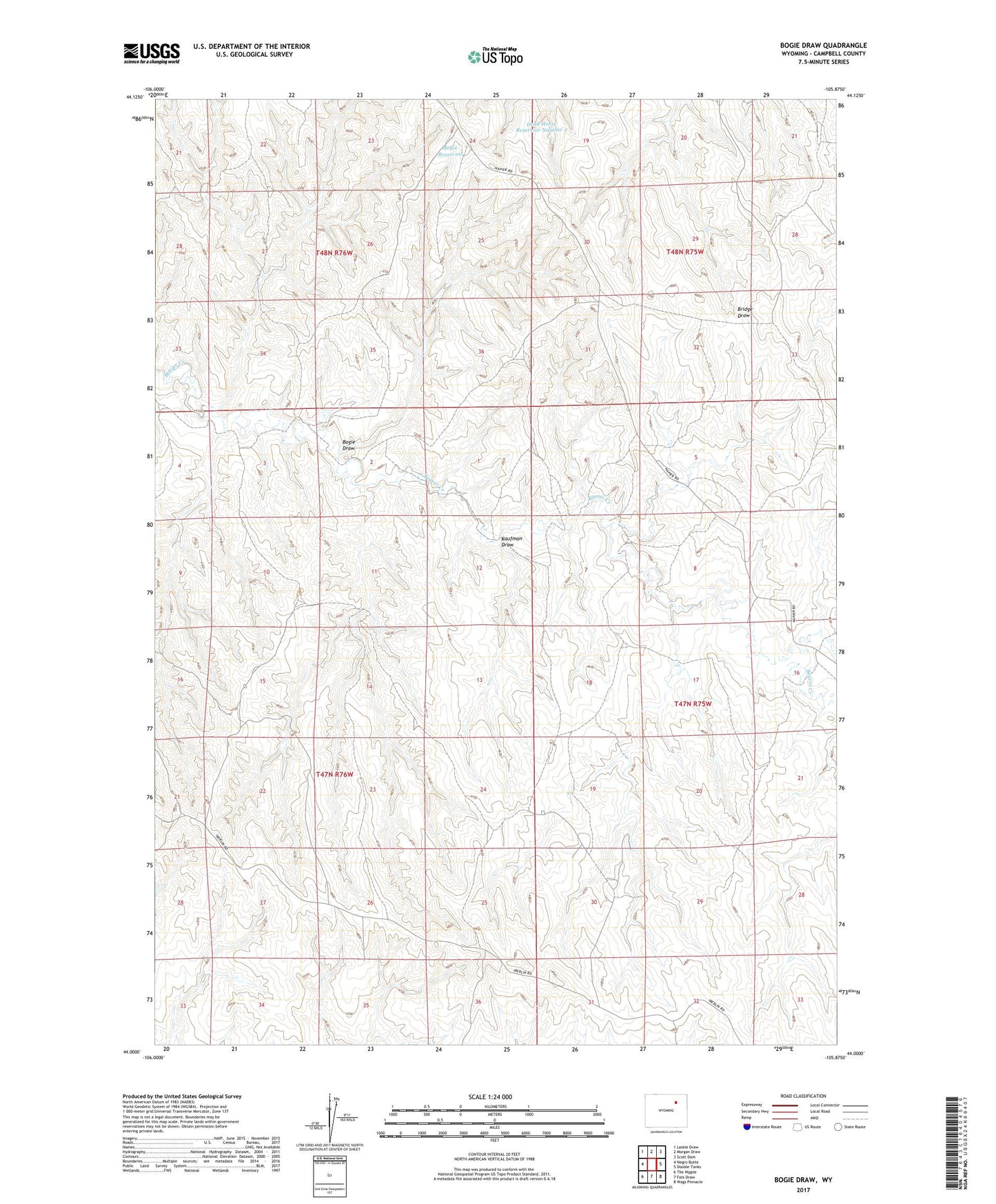
2021 topographic map quadrangle Bogie Draw in the state of Wyoming. Scale: 1:24000. Based on the newly updated USGS 7.5' US Topo map series, this map is in the following counties: Campbell. The map contains contour data, water features, and other items you are used to seeing on USGS maps, but also has updated roads and other features. This is the next generation of topographic maps. Printed on high-quality waterproof paper with UV fade-resistant inks.
Quads adjacent to this one:
West: Negro Butte
Northwest: Laskie Draw
North: Morgan Draw
Northeast: Scott Dam
East: Double Tanks
Southeast: Wags Pinnacle
South: Fats Draw
Southwest: The Nipple
This map covers the same area as the classic USGS quad with code o44105a8.
Contains the following named places: Bogie Draw, Bogie Reservoir, Dead Horse Reservoir Number 2, Kaufman Draw, Napier Ranch