MyTopo
Worland SE Wyoming US Topo Map
Couldn't load pickup availability
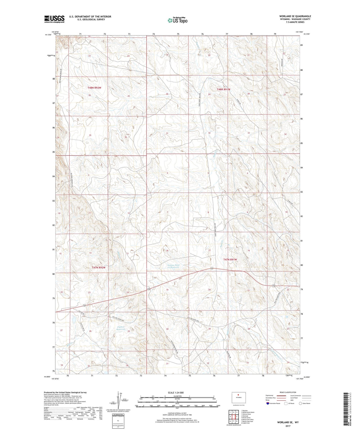
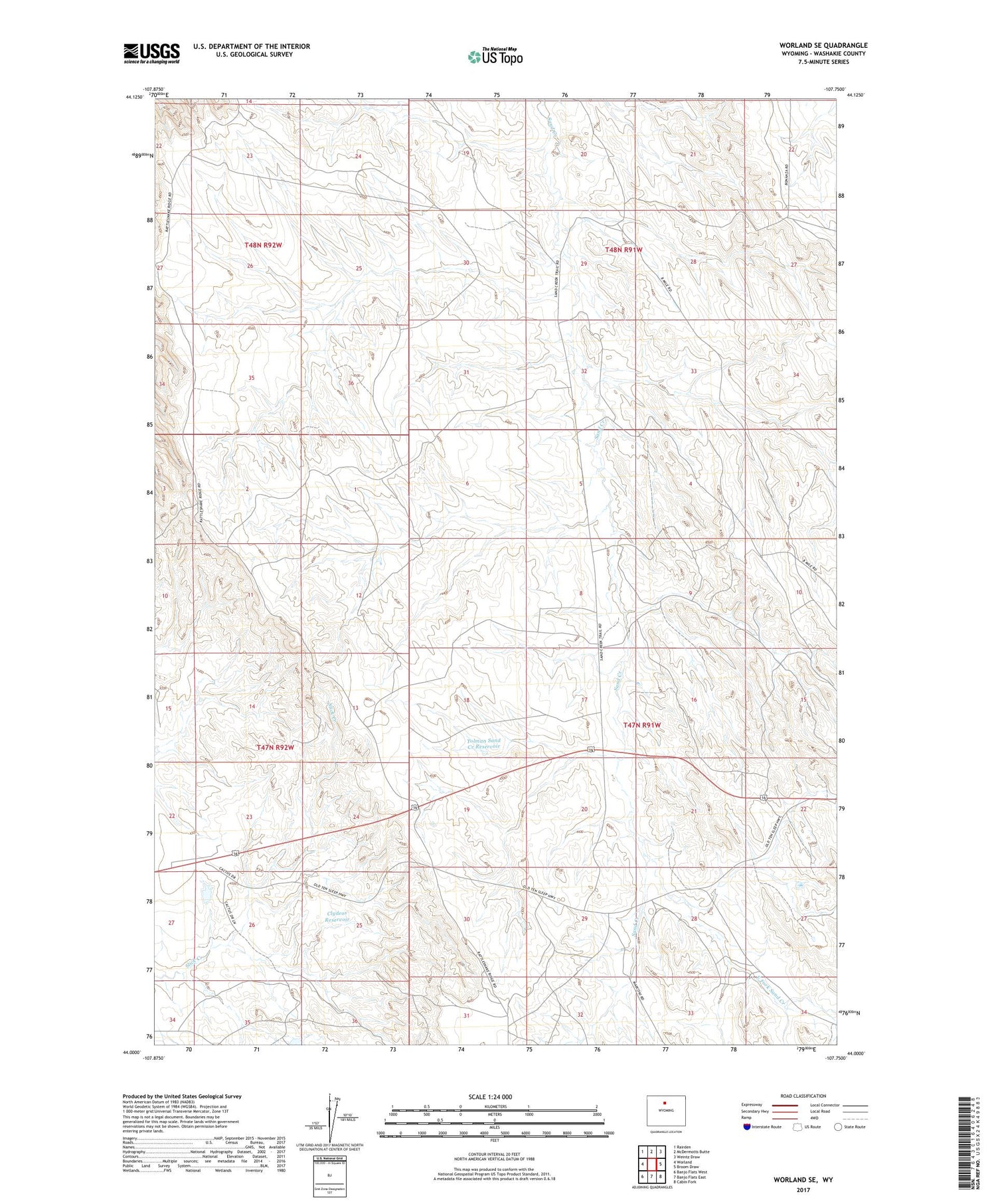
2021 topographic map quadrangle Worland SE in the state of Wyoming. Scale: 1:24000. Based on the newly updated USGS 7.5' US Topo map series, this map is in the following counties: Washakie. The map contains contour data, water features, and other items you are used to seeing on USGS maps, but also has updated roads and other features. This is the next generation of topographic maps. Printed on high-quality waterproof paper with UV fade-resistant inks.
Quads adjacent to this one:
West: Worland
Northwest: Rairden
North: McDermotts Butte
Northeast: Weintz Draw
East: Broom Draw
Southeast: Cabin Fork
South: Banjo Flats East
Southwest: Banjo Flats West
Contains the following named places: Clydeos Reservoir, East Fork Sand Creek, Faure Well, KKLX-FM (Worland), North Ten Sleep Mine, Tolman Sand Creek Reservoir, Tolman Shearing Pens