MyTopo
Ashford Alabama US Topo Map
Couldn't load pickup availability
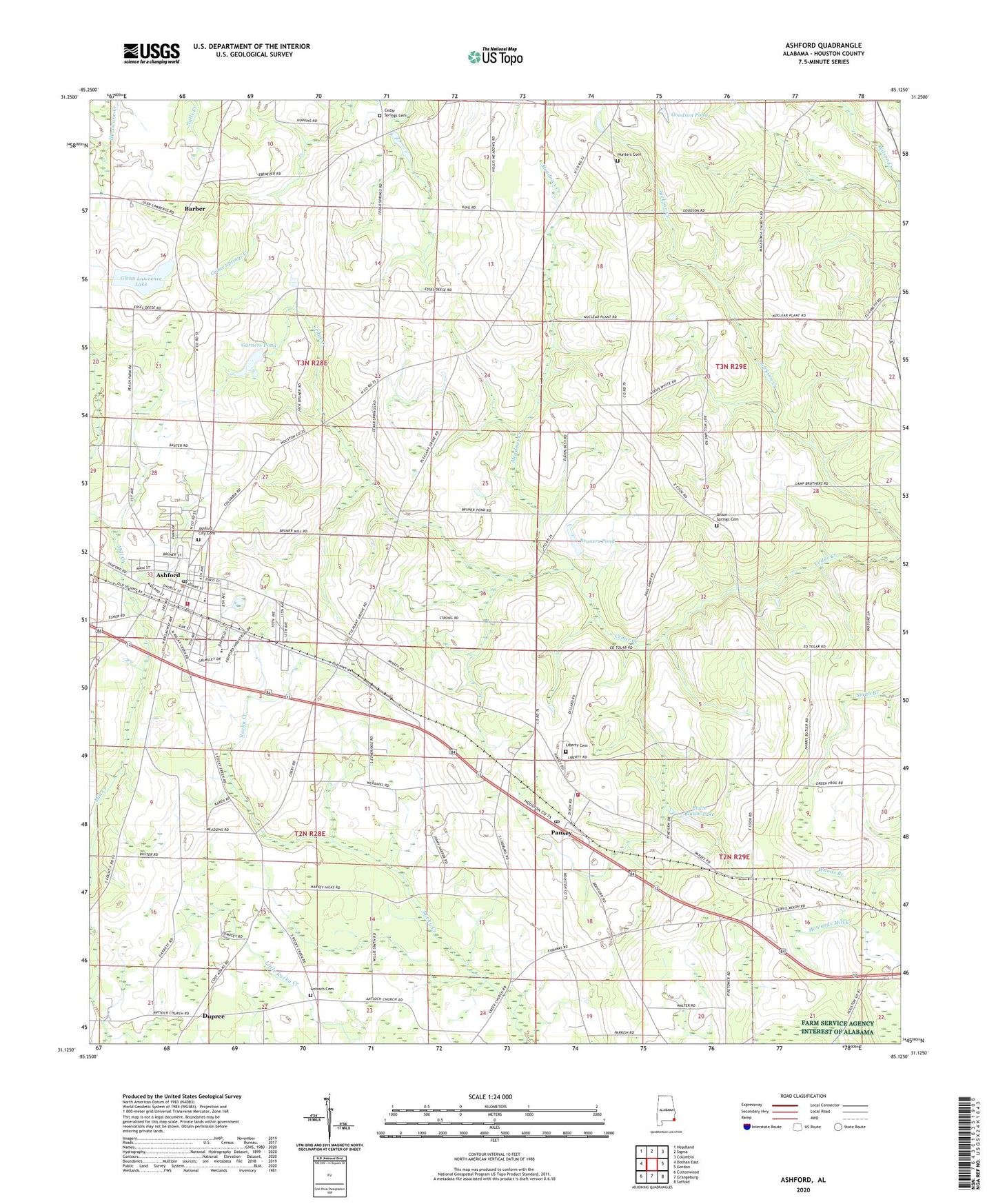
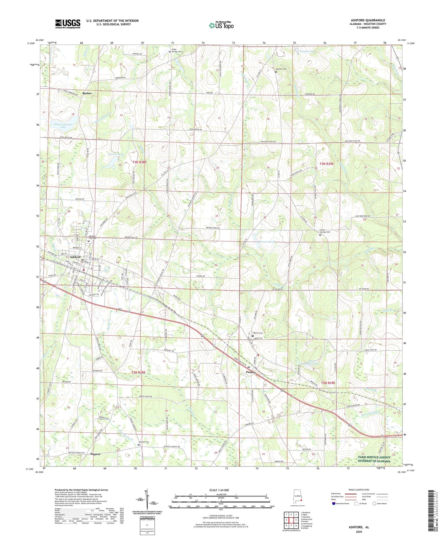
2024 topographic map quadrangle Ashford in the state of Alabama. Scale: 1:24000. Based on the newly updated USGS 7.5' US Topo map series, this map is in the following counties: Houston. The map contains contour data, water features, and other items you are used to seeing on USGS maps, but also has updated roads and other features. This is the next generation of topographic maps. Printed on high-quality waterproof paper with UV fade-resistant inks.
Quads adjacent to this one:
West: Dothan East
Northwest: Headland
North: Sigma
Northeast: Columbia
East: Gordon
Southeast: Saffold
South: Grangeburg
Southwest: Cottonwood
This map covers the same area as the classic USGS quad with code o31085b2.
Contains the following named places: Antioch Baptist Church, Antioch Cemetery, Ardilla, Ashford, Ashford Academy, Ashford Ambulance / Rescue, Ashford Assembly of God Church, Ashford City Cemetery, Ashford High School, Ashford Plaza Shopping Center, Ashford Police Department, Ashford Post Office, Ashford United Methodist Church, Ashford Volunteer Fire Department, Barber, Barber School, Bruce Blaum Dam, Bruce Blaum Lake, Bruners Pond, Cedar Spring School, Cedar Springs Baptist Church, Cedar Springs Cemetery, Church of God and Christ, Columbia Division, Dupree, Dupree School, Elizabeth Church, Espy School, Essie R Grimsley High School, Eubank School, First Assembly of God Church, First Baptist Church, Friendship Bible Church, Friendship Church of the Living Word, Garners Pond, Glen Lawrence Lake Dam, Glenn Lawrence Lake, Goodson Pond, Grant Chapel African Methodist Episcopal Church, Houston County Public Library Ashford Branch, Hunters Cemetery, Hunters Crossroads, Liberty Baptist Church, Liberty Cemetery, Macedonia Church, Meadows Creek, Mount Carmel Baptist Church, New Pilgrim Church, Oaky Grove Church, Pansey, Pansey Church, Pansey Post Office, Pansey Volunteer Fire Department, Pleasant Grove Church, Rainbow Mobile Home Park, Rinrag Farm Dam, Saint Pauls Church, Seminole Heights, Shady Grove Church, Springfield Church, Town of Ashford, Town of Ashford Sewage Lagoon, Union Springs Cemetery, Union Springs Free Will Baptist Church, Wayside Baptist Church, ZIP Codes: 36312, 36370


