MyTopo
Saffold Georgia US Topo Map
Couldn't load pickup availability
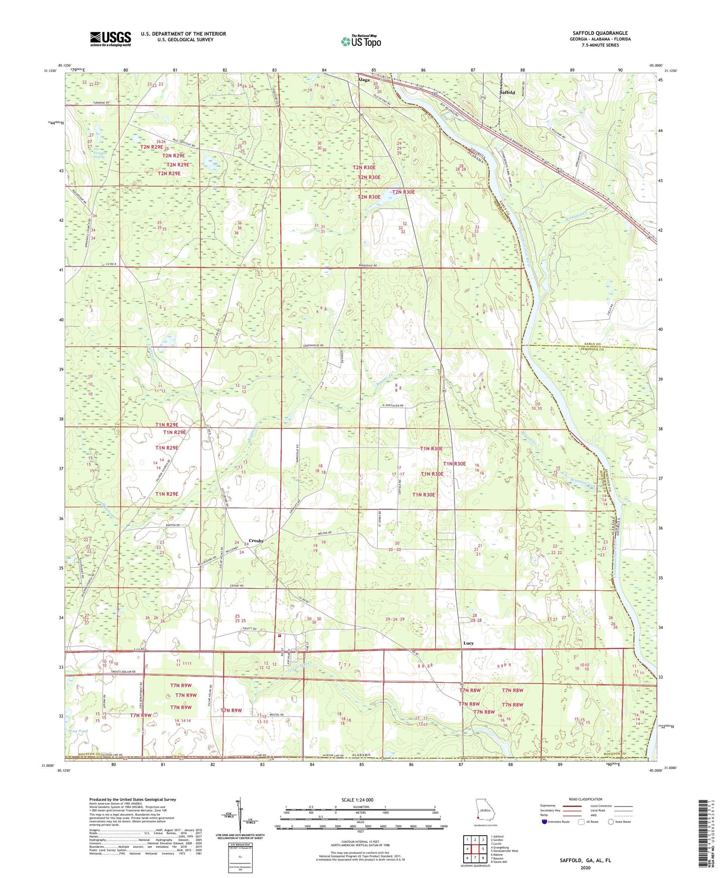
2024 topographic map quadrangle Saffold in the states of Alabama, Georgia. Scale: 1:24000. Based on the newly updated USGS 7.5' US Topo map series, this map is in the following counties: Early, Houston, Seminole, Jackson. The map contains contour data, water features, and other items you are used to seeing on USGS maps, but also has updated roads and other features. This is the next generation of topographic maps. Printed on high-quality waterproof paper with UV fade-resistant inks.
Quads adjacent to this one:
West: Grangeburg
Northwest: Ashford
North: Gordon
Northeast: Lucile
East: Donalsonville West
Southeast: Steam Mill
South: Bascom
Southwest: Malone
This map covers the same area as the classic USGS quad with code o31085a1.
Contains the following named places: Antioch Church, Bethlehem Church, Billy Byrd Dam, Bryans Creek, Bryants Landing, Chandler Ferry, Chandlers Ferry, Chattahoochee State Park, Crosby, Crosby School, Cypress Creek, Ely Landing, Evans Store, Friendship Church, Gordon Division, Jeffcoat School, Jerusalem Church, Kirkland Creek, Longs Store, Lucy, Lucy Fire Rescue, Lucy School, Mount Nebo Church, Navy Yard Landing, Perry Landing, Pilgrims Rest Church, Saffold, Saint Johns Church, Sawhatchee Creek, Spring Hill Freewill Baptist Church, The Turnpike Swamp, Whitehead School, Willoughby Landing, ZIP Code: 36343