MyTopo
Batesville Alabama US Topo Map
Couldn't load pickup availability
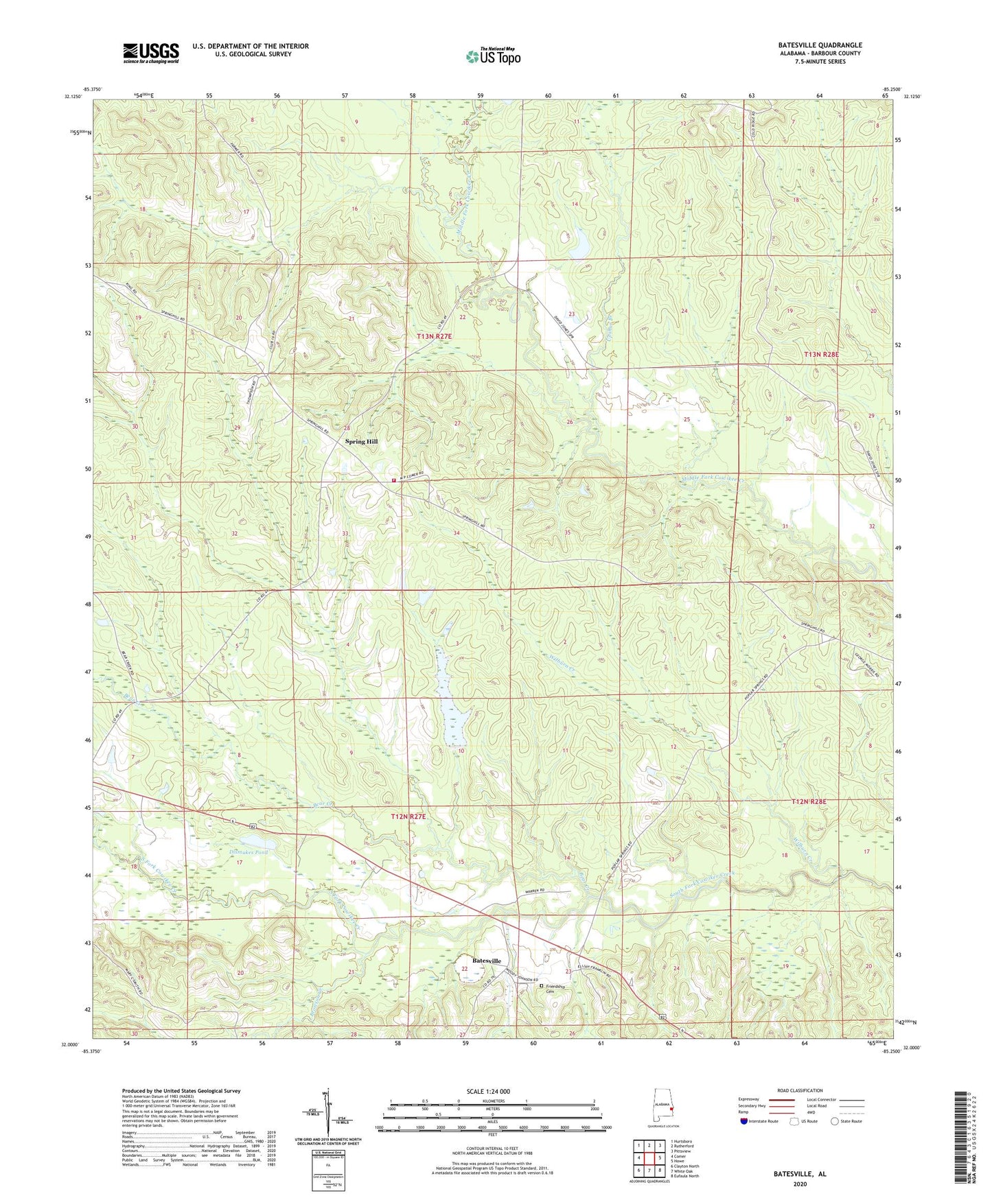
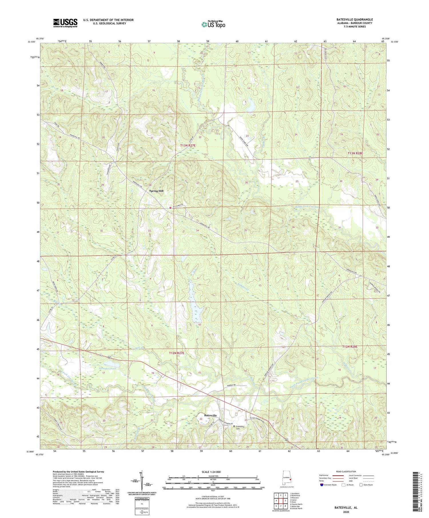
2024 topographic map quadrangle Batesville in the state of Alabama. Scale: 1:24000. Based on the newly updated USGS 7.5' US Topo map series, this map is in the following counties: Barbour. The map contains contour data, water features, and other items you are used to seeing on USGS maps, but also has updated roads and other features. This is the next generation of topographic maps. Printed on high-quality waterproof paper with UV fade-resistant inks.
Quads adjacent to this one:
West: Comer
Northwest: Hurtsboro
North: Rutherford
Northeast: Pittsview
East: Howe
Southeast: Eufaula North
South: White Oak
Southwest: Clayton North
This map covers the same area as the classic USGS quad with code o32085a3.
Contains the following named places: Batesville, Batesville United Methodist Church, Bear Creek, Bronson Creek, Cole Ridge, Cole Ridge Church, Comer High School, Dismukes Pond, Fairmount, Friendship Cemetery, Friendship Church, Humble Zion Church, Macedonia Church, Mount Calvary Church, New Hope Church, Poplar Springs, Reynolds Store, Spring Hill, Spring Hill Church, Spring Hill Volunteer Fire Department, Spring Hill Zion Church, Upshur Branch, Wilburn Creek