MyTopo
Catherine Alabama US Topo Map
Couldn't load pickup availability
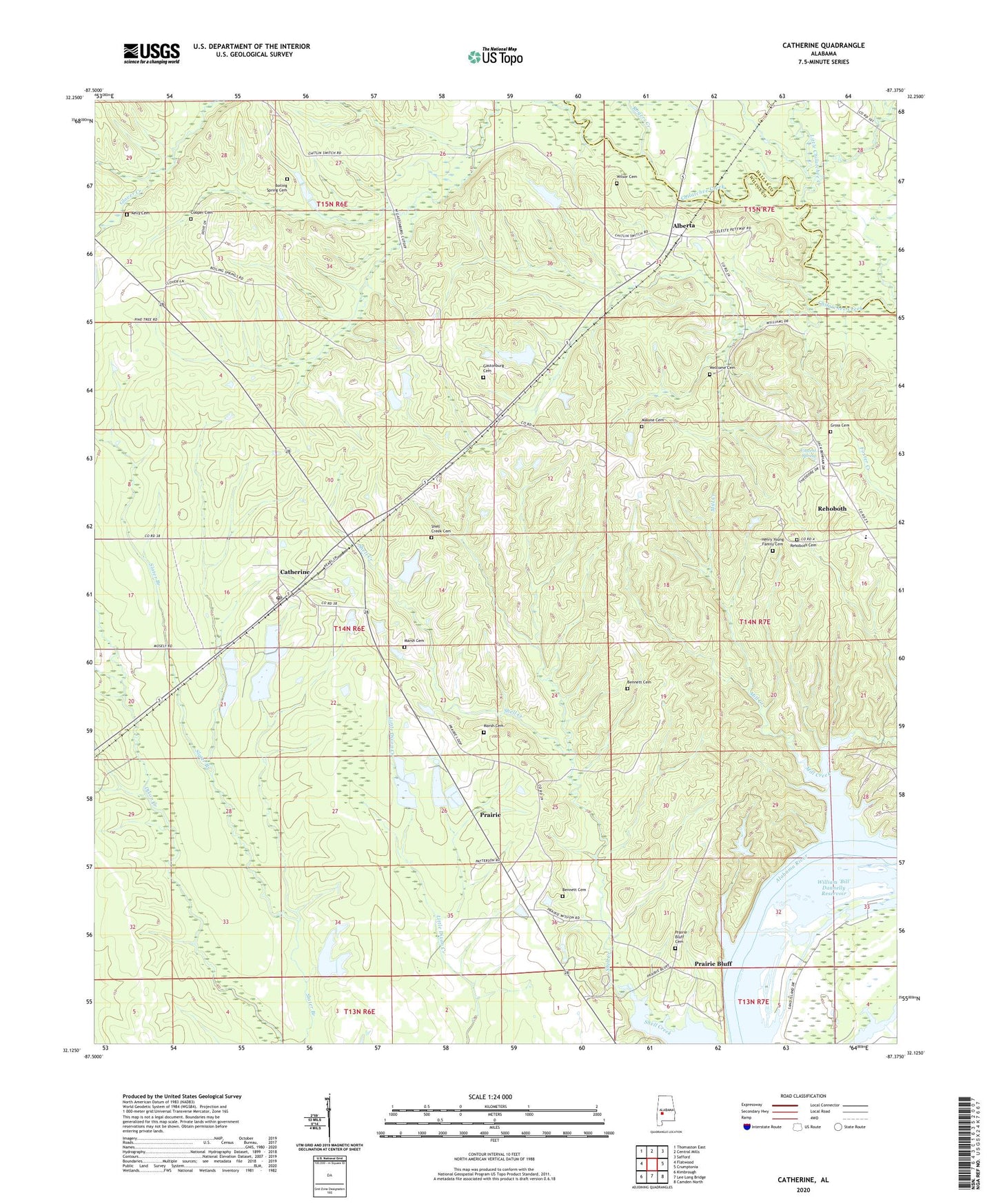
2024 topographic map quadrangle Catherine in the state of Alabama. Scale: 1:24000. Based on the newly updated USGS 7.5' US Topo map series, this map is in the following counties: Wilcox, Dallas. The map contains contour data, water features, and other items you are used to seeing on USGS maps, but also has updated roads and other features. This is the next generation of topographic maps. Printed on high-quality waterproof paper with UV fade-resistant inks.
Quads adjacent to this one:
West: Flatwood
Northwest: Thomaston East
North: Central Mills
Northeast: Safford
East: Crumptonia
Southeast: Camden North
South: Lee Long Bridge
Southwest: Kimbrough
This map covers the same area as the classic USGS quad with code o32087b4.
Contains the following named places: Alberta, Alberta Division, Alberta Elementary School, Alberta Post Office, Antioch Church, Bennett Cemetery, Bethel, Bethel Church, Boiling Spring Cemetery, Boiling Spring Church, Boiling Springs, Catherine, Catherine Academy, Catherine Census Designated Place, Catherine Post Office, Cooper Cemetery, Dixie Grove Church, Donald, Gastonburg, Gastonburg Cemetery, Gastonburg Church, Gross Cemetery, Henry Young Family Cemetery, Hobbs Bar, Joe Harrison Dam, Joe Harrison Lake, Kelly Cemetery, Little Chilatchee Creek, Macedonia Church, Malone Cemetery, Marsh Cemetery, Martin Field, Mill Creek, Mount Olive Church, Mount Sinia Church, Nixon and McGuire Bar, Prairie, Prairie Bluff, Prairie Bluff Cemetery, Prairie Bluff Landing, Prairie Mission Church, Rehoboth, Rehoboth Cemetery, Rogers Creek, Saint Marys Church, Salem Church, Shell Creek Cemetery, Spring Hill Church, Vincent Spring, Welcome Cemetery, William 'Bill' Dannelly Reservoir, Wilsor Cemetery, Zion Church, ZIP Code: 36728