
MyTopo
Clayhatchee Alabama US Topo Map
Couldn't load pickup availability
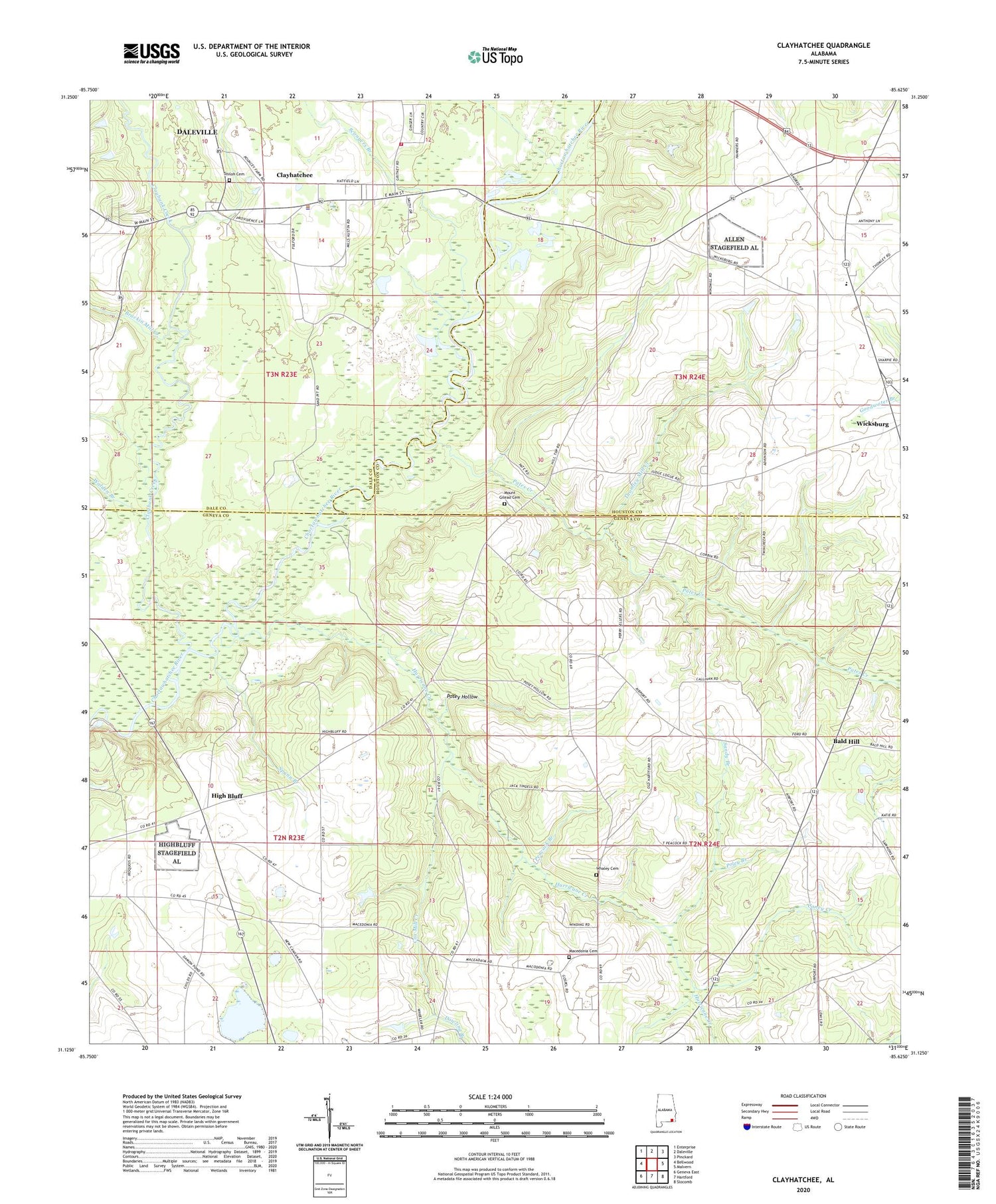
2024 topographic map quadrangle Clayhatchee in the state of Alabama. Scale: 1:24000. Based on the newly updated USGS 7.5' US Topo map series, this map is in the following counties: Geneva, Houston, Dale. The map contains contour data, water features, and other items you are used to seeing on USGS maps, but also has updated roads and other features. This is the next generation of topographic maps. Printed on high-quality waterproof paper with UV fade-resistant inks.
Quads adjacent to this one:
West: Bellwood
Northwest: Enterprise
North: Daleville
Northeast: Pinckard
East: Malvern
Southeast: Slocomb
South: Hartford
Southwest: Geneva East
This map covers the same area as the classic USGS quad with code o31085b6.
Contains the following named places: Antioch Church, Backems Crossroads, Bald Hill, Ball Hill Church, Bethel Baptist Church, Biffords Branch, Brackin Mill Creek, Caney Creek, Christian Home Church, Claybank Creek, Clayhatchee, Clayhatchee Church, Clayhatchee Police Department, Clayhatchee Quarry, Clayhatchee Volunteer Fire Department, Corbin School, County Line Church, Cox Mill Creek, Dean Mill, Dowling Branch, Goodwater Church, Gospel Hill Church, Ham Branch, High Bluff, High Bluff School, Hinson Mill, House of Prayer Church, Hurricane Creek, Kinsanl School, Macedonia Cemetery, Macedonia Church, Mount Gilead Cemetery, Mount Gilead Primitive Baptist Church, Panther Stadium, Pates Creek, Pates Landing, Peacock Branch, Poley Branch, Posey Hollow, Providence Missionary Baptist Church, Sandy Branch, Sconyers Branch, Sevall School, Shiloh Cemetery, Shiloh Church, Spann Branch, Tabernacle Church, Ted Sketo Dam, Ted Sketo Lake, Thomley Mill Creek, Tindell School, Town of Clayhatchee, Turners Ferry, Walden Branch, Whaley Cemetery, Whaley Chapel, Wicksburg High School, Wilson School


