MyTopo
Columbiana Alabama US Topo Map
Couldn't load pickup availability
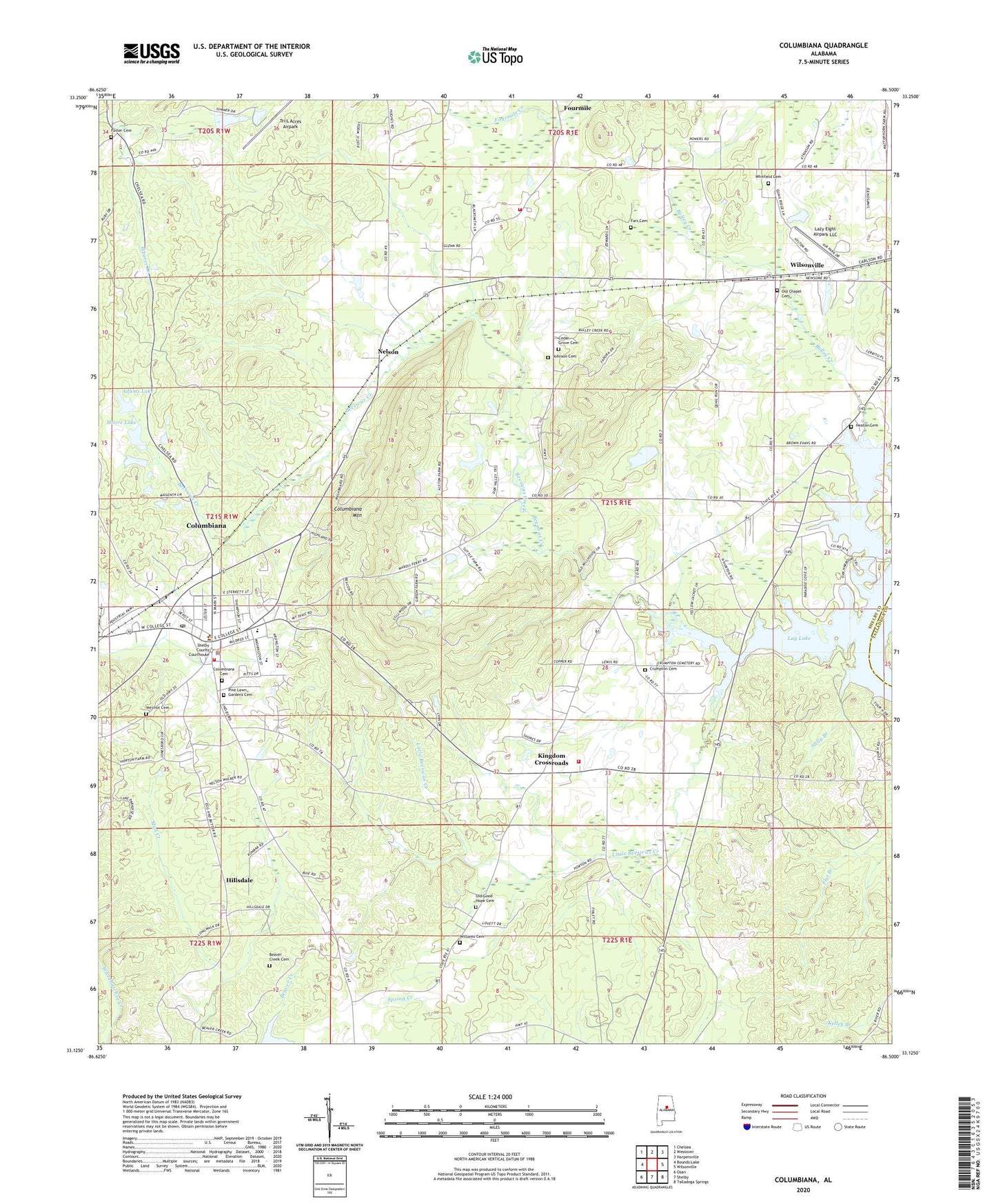
2024 topographic map quadrangle Columbiana in the state of Alabama. Scale: 1:24000. Based on the newly updated USGS 7.5' US Topo map series, this map is in the following counties: Shelby, Talladega. The map contains contour data, water features, and other items you are used to seeing on USGS maps, but also has updated roads and other features. This is the next generation of topographic maps. Printed on high-quality waterproof paper with UV fade-resistant inks.
Quads adjacent to this one:
West: Bounds Lake
Northwest: Chelsea
North: Westover
Northeast: Harpersville
East: Wilsonville
Southeast: Talladega Springs
South: Shelby
Southwest: Ozan
This map covers the same area as the classic USGS quad with code o33086b5.
Contains the following named places: Adams Dam, Adams Lake, Antioch Baptist Church, Beaver Creek Cemetery, Beeswax Creek, Bethel Church, Blue Springs Church, Bulley Creek, Cedar Grove Cemetery, Cedar Grove Freewill Baptist Church, Church of the Nazareth, City of Columbiana, Columbiana, Columbiana Cemetery, Columbiana Division, Columbiana Middle School, Columbiana Mountain, Columbiana Police Department, Columbiana Post Office, Columbiana Volunteer Fire Department, Cornerstone Christian School, Coy Collins Steam Mills, Crumpton Family Cemetery, Elvin Hill Elementary School, Farr Cemetery, Foster Cemetery, Four Mile Fire and Rescue, Fourmile, Full Gospel Church, Good Hope Church, Heaton Cemetery, Hillsdale, Hortons Mill, Ingram Camp, Johnson Cemetery, Kingdom Church, Kingdom Crossroads, Kingdom School, Kingdom Volunteer Fire Department, Lazy Eight Airpark LLC, Little Beeswax Creek, Lyon Church, Moore Dam, Moore Lake, Mountain View Church, Nelson, Old Chapel Cemetery, Old Chapel Methodist Church, Old Good Hope Cemetery, Pinelawn Gardens Perpetual Care Cemetery, River of Life Christian Center, Sally Branch, Shelby County Courthouse, Shelby County High School, Shelby Training School, Tri-L Acres Airpark, Union Baptist Church, Verchot Cemetery, Whitfield Cemetery, Williams Cemetery, Wright School, ZIP Code: 35051


