MyTopo
Chelsea Alabama US Topo Map
Couldn't load pickup availability
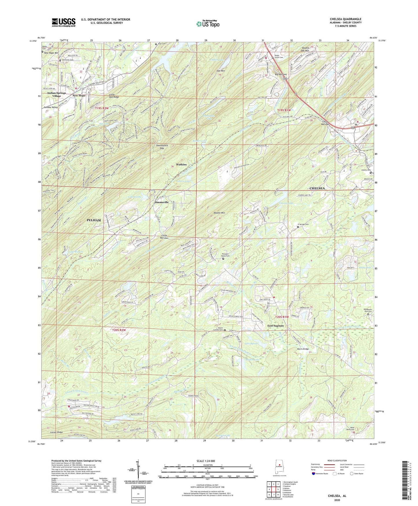
2024 topographic map quadrangle Chelsea in the state of Alabama. Scale: 1:24000. Based on the newly updated USGS 7.5' US Topo map series, this map is in the following counties: Shelby. The map contains contour data, water features, and other items you are used to seeing on USGS maps, but also has updated roads and other features. This is the next generation of topographic maps. Printed on high-quality waterproof paper with UV fade-resistant inks.
Quads adjacent to this one:
West: Helena
Northwest: Birmingham South
North: Cahaba Heights
Northeast: Vandiver
East: Westover
Southeast: Columbiana
South: Bounds Lake
Southwest: Alabaster
This map covers the same area as the classic USGS quad with code o33086c6.
Contains the following named places: Allan Cemetery, Allen Church, Bailey Cemetery, Beech Branch, Belcher Lake, Belcher Lake Dam, Belcher Lumber Company Dam, Big Narrows, Bolivar Creek, Boyden Lake, Boyden Lake Dam, Brown Branch, Cahaba Valley Fire Station 185, Calvary Church, Catfish Lake, Cave Spring School, Charob Lake, Charob Lake Dam, Chelsea, Chelsea City Hall, Chelsea Fire and Rescue Department Station 31, Chelsea Fire and Rescue Station 32, Chelsea High School, Chelsea Post Office, City of Chelsea, City of Indian Springs Village, Coalville, Cooper Branch, Debuys Lake Dam, Double Mountain, Double Mountain Branch, Double Oak Mountain Lake Dam, East Saginaw, Heardmont Park, Ivy Branch, K Springs Cemetery, K Springs Church, Lake Byram, Lake Gizella, Lake Warren, Lake Warren Dam, Lenora Lake, Liberty Baptist Church, Liberty Cemetery, Lime Branch, Little Narrows, Locust Ridge, Morris Bridge, Mose Davis Cemetery, Mount Calvary Cemetery, Mountain Chapel Calvary, New Hope, New Hope Church, New Hope School, North Shelby County Fire and Emergency Medical District Station 2, Oak Mountain Lake, Oak Mountain Lake Dam Number One, Oak Mountain Old Lake Dam, Oak Mountain State Park, Odess Lake Dam, Old Acton Cemetery, Old Lake, Peavine Branch, Pelham Fire Department Station 5, Pleasant Valley Cemetery, Pleasant Valley Church, Poindexter-Vick Cemetery, Poplar Branch, Quinn Cemetery, Quito, Salster Branch, Shackleford Gap, Shady Grove Cemetery, Shady Grove Church, Shelby County, Shelby County Sheriffs Office - East Substation, Shelby County Sheriffs Office - North Station, Simmsville, Simmsville Chapel, The Narrows, Thomas Branch, Thomas Gap, Toms Creek, Watkins, Yellowleaf Game Preserve, ZIP Codes: 35043, 35124