MyTopo
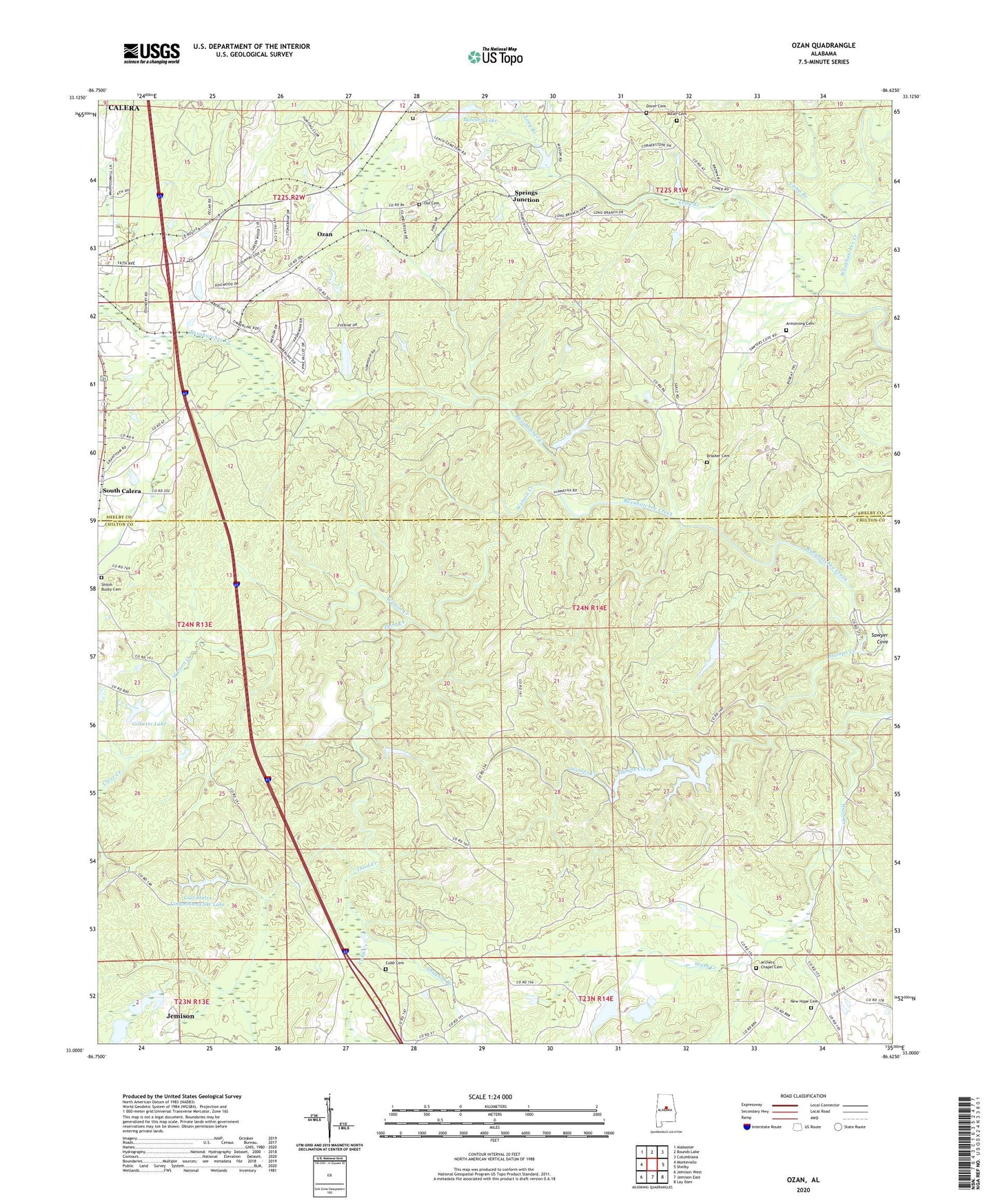
Ozan Alabama US Topo Map
Couldn't load pickup availability
2024 topographic map quadrangle Ozan in the state of Alabama. Scale: 1:24000. Based on the newly updated USGS 7.5' US Topo map series, this map is in the following counties: Chilton, Shelby. The map contains contour data, water features, and other items you are used to seeing on USGS maps, but also has updated roads and other features. This is the next generation of topographic maps. Printed on high-quality waterproof paper with UV fade-resistant inks.
Quads adjacent to this one:
West: Montevallo
Northwest: Alabaster
North: Bounds Lake
Northeast: Columbiana
East: Shelby
Southeast: Lay Dam
South: Jemison East
Southwest: Jemison West
This map covers the same area as the classic USGS quad with code o33086a6.
Contains the following named places: Archers Chapel Cemetery, Archies Chapel, Armstrong Cemetery, Brasher Cemetery, Calera Division, Camp Branch, Clear Creek, Cobb Cemetery, Cobb Creek, Dover Cemetery, Gilbert Lake Dam, Gilberts Lake, Gulf States Columbiana SW Dam, Gulf States Columbiana SW Lake, Leach Cemetery, Long Branch, Masons Mill, May Plantation, Miller Cemetery, Mitchell Lake, Mitchell Lake Dam, New Hope Cemetery, New Hope Church, Old Cemetery, Ozan, Prospect Church, Shiloh Busby Cemetery, Shiloh Methodist Church, Smiths School, South Calera, Springs Junction, Stumps Creek, Tanyard Branch, Third Creek, Watson Creek, ZIP Code: 35040


