MyTopo
Colvin Gap Alabama US Topo Map
Couldn't load pickup availability
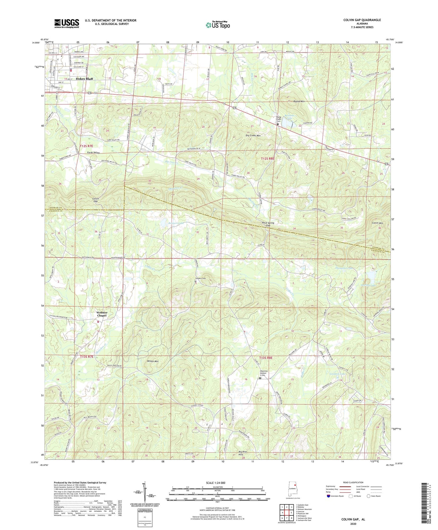
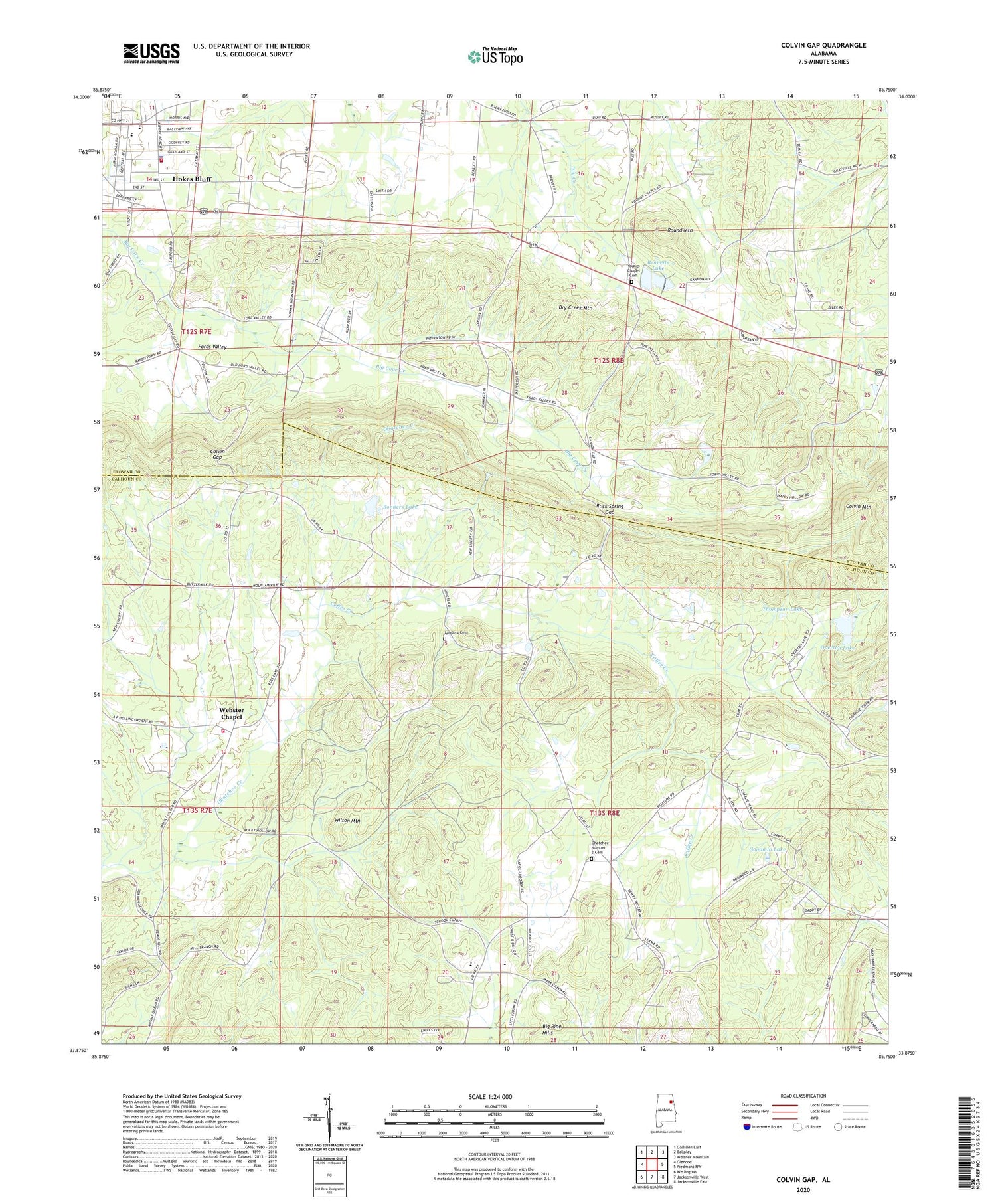
2024 topographic map quadrangle Colvin Gap in the state of Alabama. Scale: 1:24000. Based on the newly updated USGS 7.5' US Topo map series, this map is in the following counties: Calhoun, Etowah. The map contains contour data, water features, and other items you are used to seeing on USGS maps, but also has updated roads and other features. This is the next generation of topographic maps. Printed on high-quality waterproof paper with UV fade-resistant inks.
Quads adjacent to this one:
West: Glencoe
Northwest: Gadsden East
North: Ballplay
Northeast: Weisner Mountain
East: Piedmont NW
Southeast: Jacksonville East
South: Jacksonville West
Southwest: Wellington
This map covers the same area as the classic USGS quad with code o33085h7.
Contains the following named places: Adelia, Adelia Post Office, Bennett Dam, Bennetts Lake, Big Pine Hills, Bonner Dam, Bonners Lake, City of Hokes Bluff, Coffee Creek, Colvin Gap, Colvin Mountain, Colvins Gap, Dry Creek Mountain, First Methodist Church, Ford School, Ford Valley Church, Fords Valley, Goodwin Lake, Harrelson Dam, Harrelson Lake, Hokes Bluff, Hokes Bluff Elementary School, Hokes Bluff Middle School, Hokes Bluff Police Department, Hokes Bluff Volunteer Fire Department, House of Prayer Church, Irene, Irene Post Office, Johnson School, Landers Cemetery, Landers School, Mamre Baptist Church, McBride Dam, McBride Lake, Midway Missionary Baptist Church, Millie, Mink, Mount Gilead, Mount Gilead Baptist Church, Mountain View Church, New Bethel Post Office, New Liberty, New Liberty Baptist Church, Ohatchee Church, Ohatchee Number 2 Cemetery, Overton Dam, Overton Lake, Pattersons Chapel, Piedmont Highway Church, Pilgrims Rest Church, Pinegrove Chapel, Pleasant Valley School, Reaves, Rock Spring Gap, Round Mountain, Templeton Dam, Templeton Pond, Thompson Lake, Webster Chapel, Websters Chapel Junior High School, Websters Chapel Volunteer Fire Department, Williams Junior High School, Wilson Mountain, Youngs Chapel, Youngs Chapel Cemetery


