MyTopo
Crossville Alabama US Topo Map
Couldn't load pickup availability
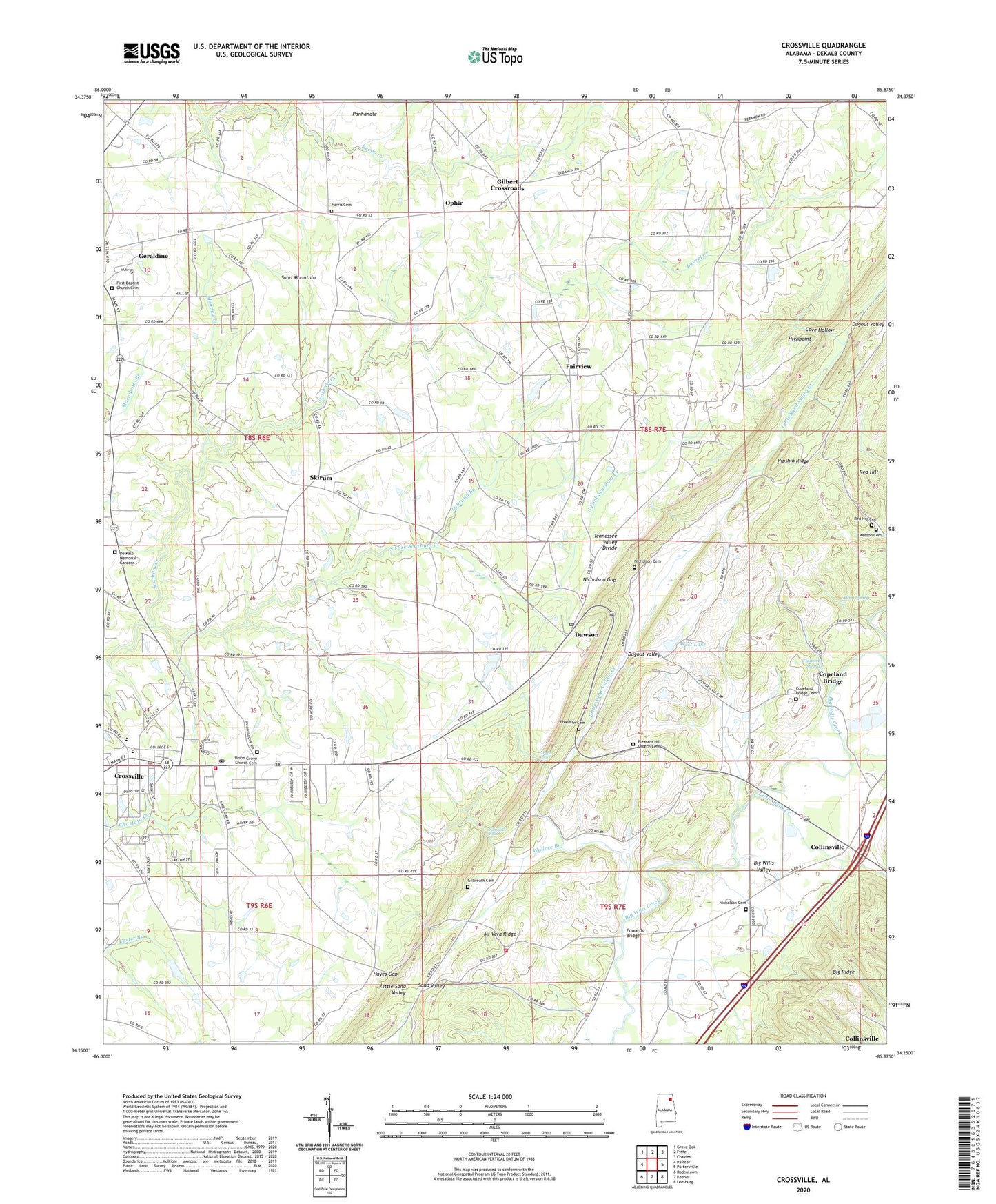
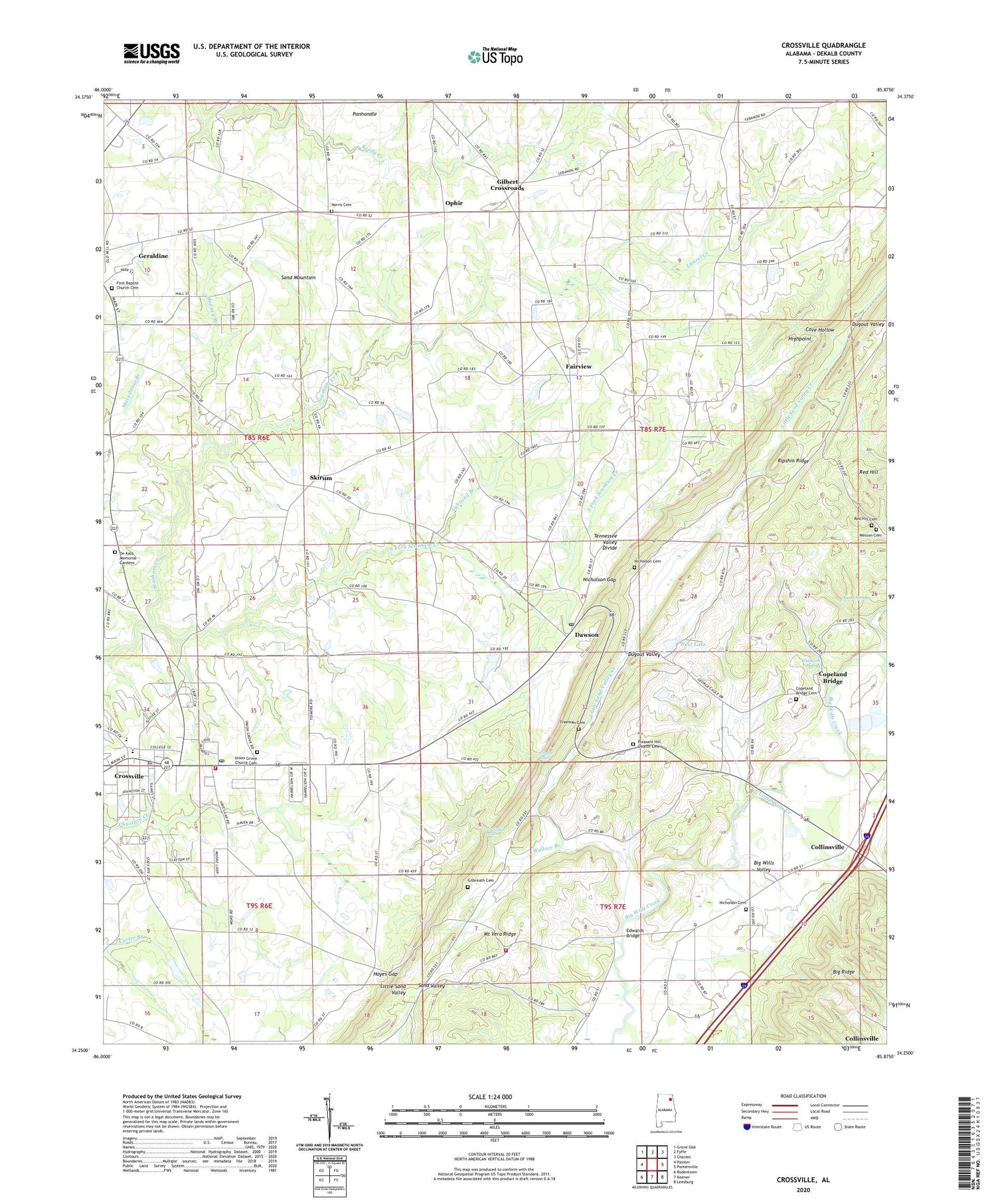
2024 topographic map quadrangle Crossville in the state of Alabama. Scale: 1:24000. Based on the newly updated USGS 7.5' US Topo map series, this map is in the following counties: DeKalb. The map contains contour data, water features, and other items you are used to seeing on USGS maps, but also has updated roads and other features. This is the next generation of topographic maps. Printed on high-quality waterproof paper with UV fade-resistant inks.
Quads adjacent to this one:
West: Painter
Northwest: Grove Oak
North: Fyffe
Northeast: Chavies
East: Portersville
Southeast: Leesburg
South: Keener
Southwest: Rodentown
This map covers the same area as the classic USGS quad with code o34085c8.
Contains the following named places: Collinsville Church, Collinsville Division, Collinsville Industrial Park, Copeland Bridge, Copeland Bridge Cemetery, Cotnam, Cove Hollow, Crossville, Crossville Fire Department, Crossville High School, Crossville Post Office, Crossville Town Police Department, Davis Chapel, Dawson, Dawson Post Office, De Kalb Memorial Gardens, Dugout Valley, Edwards Bridge, Fairview, Fairview Church, Freeman Cemetery, Friendship Church, Gilbert Crossroads, Gilbreath Cemetery, Griffin Falls, Hayes Gap, Hendrickville, Highpoint, Homer, Laurel Creek, Liberty Hill Baptist Church, Little Sand Valley Creek, Little Wills Creek, Lybrand Branch, Midway School, Mooney Branch, Mount Tabor Church, Mount Vera Church, Mount Vera Ridge, Mount Vera Volunteer Fire Department, Nicholson, Nicholson Cemetery, Nicholson Gap, Norris Cemetery, Nunn Spring, Ophir, Orphir School, Pilgrim Rest Church, Pleasant Hill Church, Pleasant Hill Church Cemetery, Pleasant Valley Church, Red Hill, Red Hill Cemetery, Ripshin Ridge, Sand Mountain Agricultural Experment Station, Sand Valley, Skirum, Skirum Church, Skirum Junior High School, South Fork Scarham Creek, Swindell Falls, Tidmore Spring, Town of Crossville, Union Grove Baptist Church, Union Grove Church Cemetery, Vernon Baptist Church, Wallace Branch, Wesson Cemetery, West Dam, West Lake, Wills, ZIP Code: 35963


