MyTopo
Fayette Alabama US Topo Map
Couldn't load pickup availability
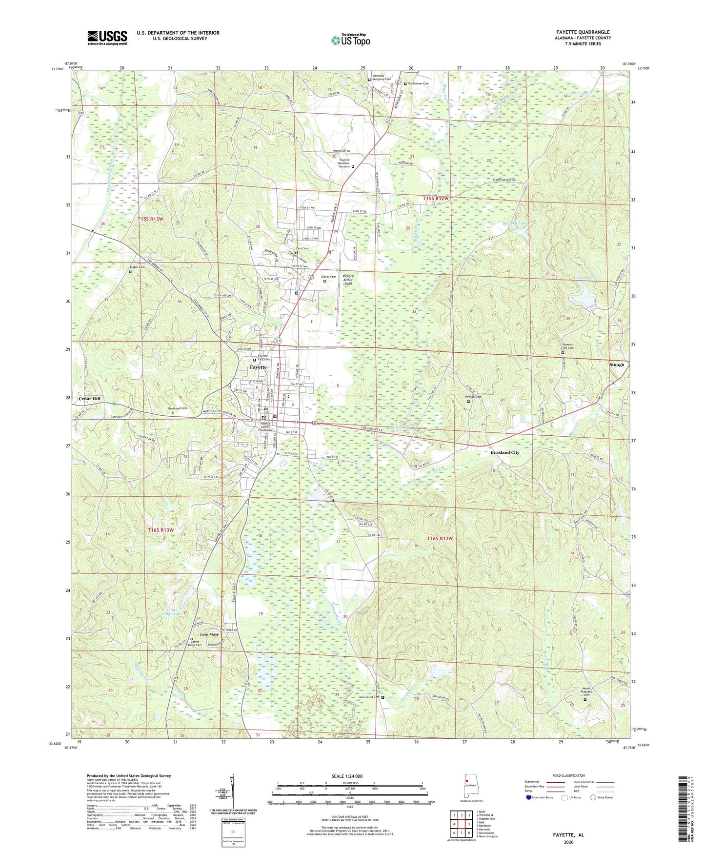
2024 topographic map quadrangle Fayette in the state of Alabama. Scale: 1:24000. Based on the newly updated USGS 7.5' US Topo map series, this map is in the following counties: Fayette. The map contains contour data, water features, and other items you are used to seeing on USGS maps, but also has updated roads and other features. This is the next generation of topographic maps. Printed on high-quality waterproof paper with UV fade-resistant inks.
Quads adjacent to this one:
West: Belk
Northwest: Bluff
North: Winfield SE
Northeast: Hubbertville
East: Bankston
Southeast: New Lexington
South: Newtonville
Southwest: Kennedy
This map covers the same area as the classic USGS quad with code o33087f7.
Contains the following named places: Bagwell Lake, Bagwell Lake Dam, Bankhead Cemetery, Bethlehem Cemetery, Bethlehem Methodist Church, Bethlehem School, Boxes Creek, Brewer State Junior College, Caines Ridge Baptist Church, Caines Ridge Cemetery, Cains Ridge, Cains Ridge Dam, Cains Ridge Lake, Carter Christian Methodist Episcopal Temple, Cedar Hill, Charlie Wilkes Airport, Church of God, City of Fayette, Fayette, Fayette Academy, Fayette Church of Christ, Fayette City Cemetery, Fayette Civic Center, Fayette Country Club, Fayette County Courthouse, Fayette County Courthouse Historic District, Fayette County High School, Fayette County Sheriff's Office, Fayette Division, Fayette Elementary School, Fayette Fire and Rescue Department Station 1, Fayette Fire Department Station 2, Fayette Gas Field, Fayette Medical Center, Fayette Memorial Gardens, Fayette Police Department, Fayette Post Office, Fayette Square Shopping Center, First Baptist Church, First Methodist Church, Fulton Creek, Glover Cemetery, Grace Baptist Church, Gumbud, Gumbud Creek, Guthrie Smith Park, Harkins Lake, Harkins Lake Dam, Harris Creek, Holy Spirit Catholic Church, John Morgan Brown Stadium, Lawrence Mill, Macedonia Baptist Church, Macedonia Cemetery, Mount Joy Church, Mount Pleasant Cemetery, Mount Pleasant Church, Mount Pleasant Elementary School, Musgrove Creek, Musgrove Creek Gas Field, North Fayette Gas Field, Old Town, Pilgrims Rest Post Office, Pisgah Baptist Church, Pisgah Cemetery, Pleasant Hill Cemetery, Pleasant Hill Church, Richard Arthur Field, Rock Hill Church, Rossland City, Solid Rock Church, Southside Baptist Church, Sulphur Spring Baptist Church, Town and Country Plaza Shopping Center, Trinity Church, West Highland High School, West McCracken Mountain Gas Field, Whitson Cemetery, WWWF-AM (Fayette), Zion Cemetery, ZIP Code: 35555