MyTopo
Gin Creek Alabama US Topo Map
Couldn't load pickup availability
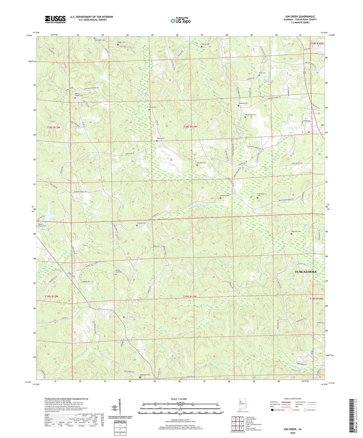
2024 topographic map quadrangle Gin Creek in the state of Alabama. Scale: 1:24000. Based on the newly updated USGS 7.5' US Topo map series, this map is in the following counties: Tuscaloosa. The map contains contour data, water features, and other items you are used to seeing on USGS maps, but also has updated roads and other features. This is the next generation of topographic maps. Printed on high-quality waterproof paper with UV fade-resistant inks.
Quads adjacent to this one:
West: Brownville
Northwest: Newtonville
North: New Lexington
Northeast: Berry SE
East: Lake Tuscaloosa North
Southeast: Lake Tuscaloosa South
South: Lake Lurleen
Southwest: Elrod
This map covers the same area as the classic USGS quad with code o33087d6.
Contains the following named places: Barbee Creek, Barbee School, Bethabara Baptist Church, Bethabara Cemetery, Binions Creek, Brownville Church, Church of God, Deal School, Dry Branch, Edmondson Cemetery, Espy Cemetery, Espy Creek, Espy Springs, Espy Springs Church, Fellowship Temple Assembly of God Church, Fernvale, Friendship Baptist Church, Friendship Cemetery, Fulmer Mine, Gilliam Cemetery, Gin Creek, Gospel Tabernacle, Haygood Cemetery, Haygood Methodist Church, Hendrix Cemetery, Hoehn Mine, Kemp Cemetery, Longs Store, McConnell School, McConnells, Montgomery Lakes, Montgomery Volunteer Fire Department, Mount Zion Free Will Baptist Church Cemetery, Mount Zion Freewill Baptist Church, Nazareth Cemetery, Nazareth Primitive Baptist Church, Northside High School, Northside Stadium, Phillips Chapel Cemetery, Phillips Chapel Freewill Baptist Church, Pine Bluff School, Pine Lake, Pine Lake Dam, Rogers Cemetery, Sam Norris Branch, Samantha Division, Samantha Post Office, Samantha Volunteer Fire Department, Sinners Friend Church, Spencer Branch, Stewarts Mill, Tilly Branch, Traweek Cemetery, Trawick School, Union Church, Walker Elementary School, Wilson Cemetery, Winters Cemetery, Wolf Creek, Wommack Cemetery


