MyTopo
Glenwood Alabama US Topo Map
Couldn't load pickup availability
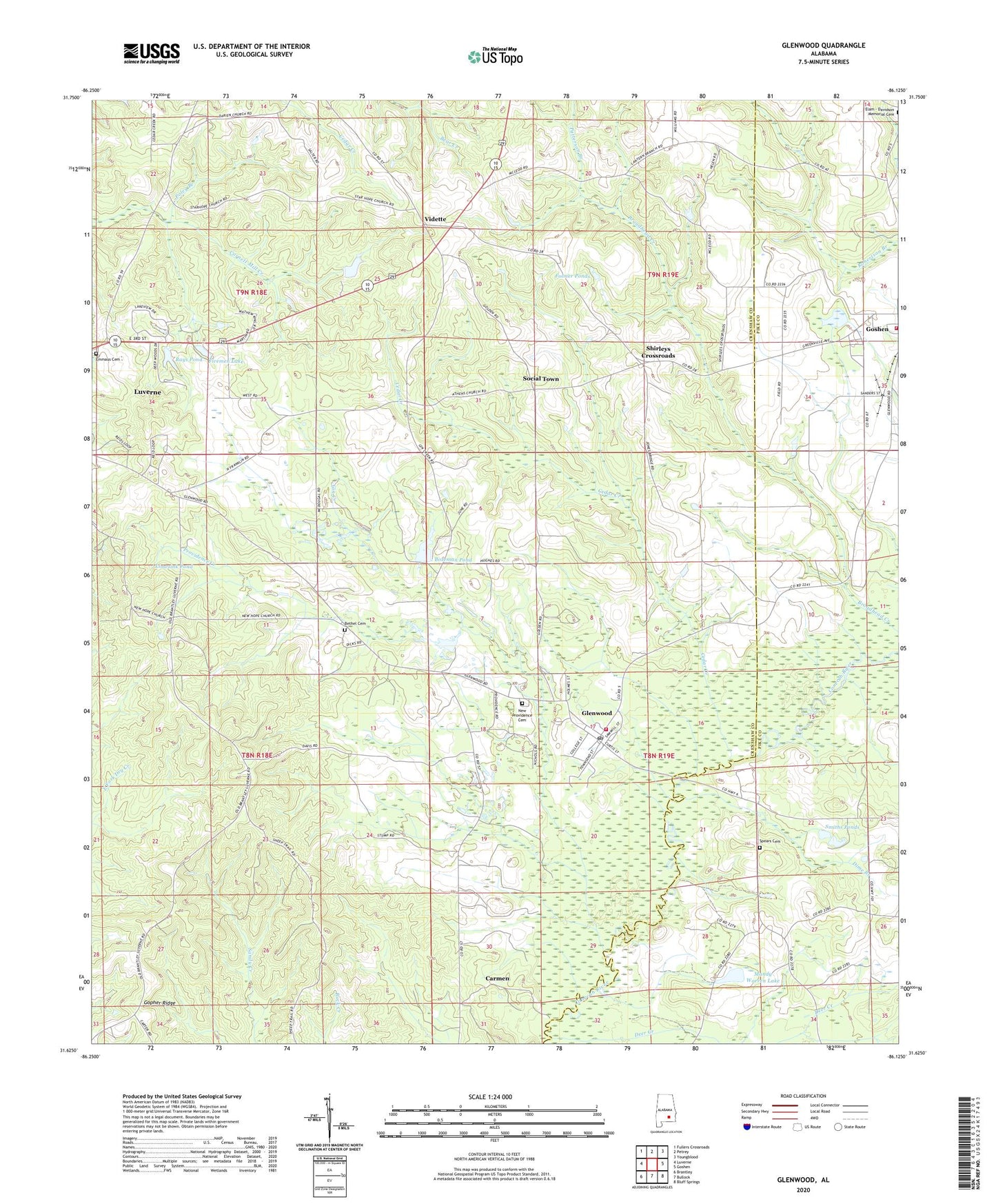
2024 topographic map quadrangle Glenwood in the state of Alabama. Scale: 1:24000. Based on the newly updated USGS 7.5' US Topo map series, this map is in the following counties: Crenshaw, Pike. The map contains contour data, water features, and other items you are used to seeing on USGS maps, but also has updated roads and other features. This is the next generation of topographic maps. Printed on high-quality waterproof paper with UV fade-resistant inks.
Quads adjacent to this one:
West: Luverne
Northwest: Fullers Crossroads
North: Petrey
Northeast: Youngblood
East: Goshen
Southeast: Bluff Springs
South: Bullock
Southwest: Brantley
This map covers the same area as the classic USGS quad with code o31086f2.
Contains the following named places: Athens Church, Becks Pond Creek, Bethel Cemetery, Bethel Church, Bozeman Pond, Bozeman Pond Dam, Camp Sharon Campground, Carmen, Cedar Creek, Crossroads Church, Deer Creek, Devilin Branch, Dime Branch, Emmaus Cemetery, Firemen Lake, Fleetwood Baptist Church, Fleetwood School, Folmer Ponds, Gin Creek, Glenwood, Glenwood Post Office, Glenwood Volunteer Fire Department, Gopher Ridge, Goshen Volunteer Fire Department, Kingsley, Limesink Pond, Luverne Lookout Tower, Mandy Warren Lake, New Hope Church, New Hope School, New Providence Cemetery, Patterson Branch, Poley Branch, Providence Church, Providence Creek, Rays Pond, Rays Pond Dam, Shirleys Crossroads, Sluggs Dam, Sluggs Lake, Smiths Ponds, Social Town, Spears Cemetery, Speirs Bridge, Star Hope Church, Star Hope School, Temple Church, Town of Glenwood, Vidette, White Rock Church