MyTopo
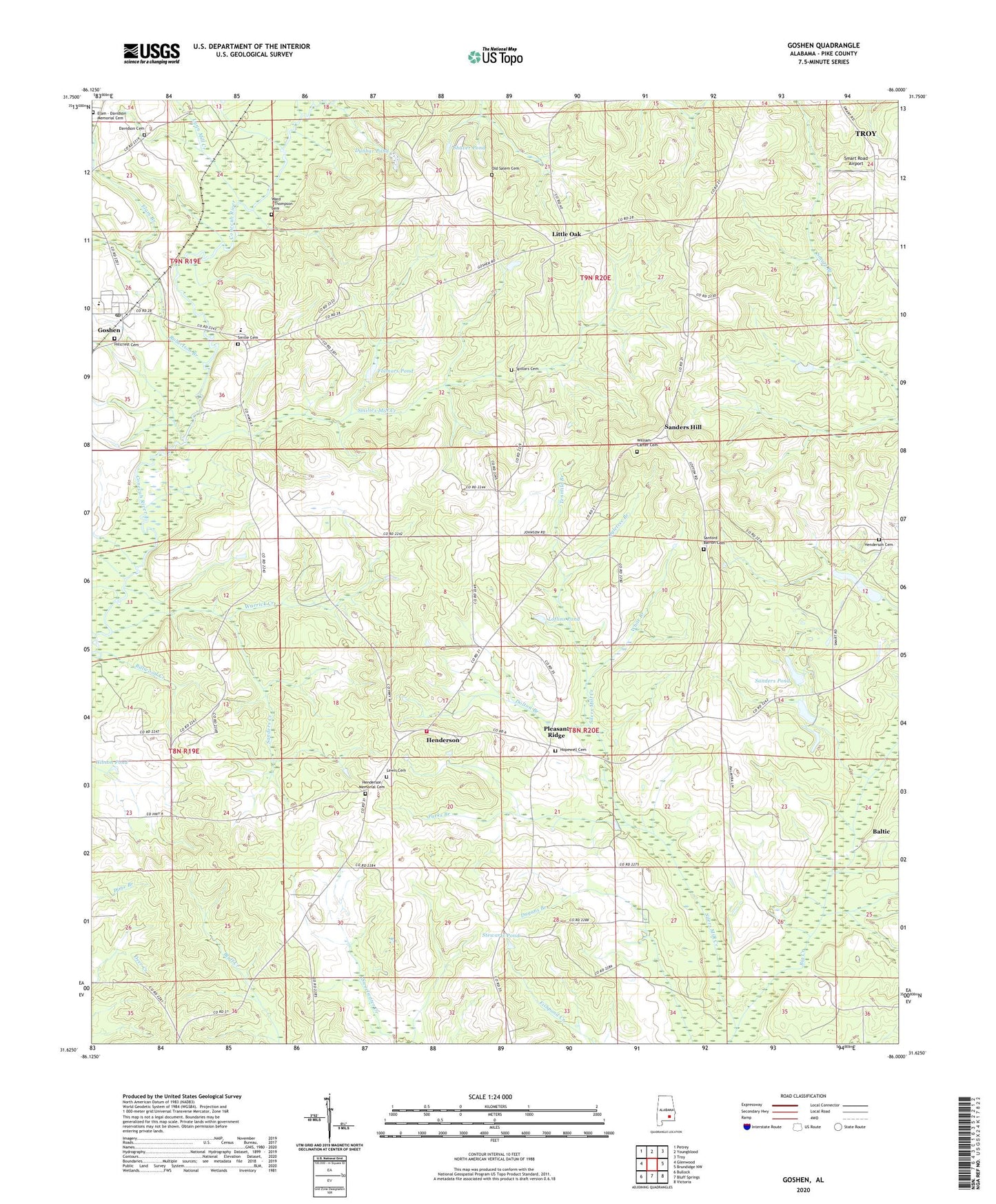
Goshen Alabama US Topo Map
Couldn't load pickup availability
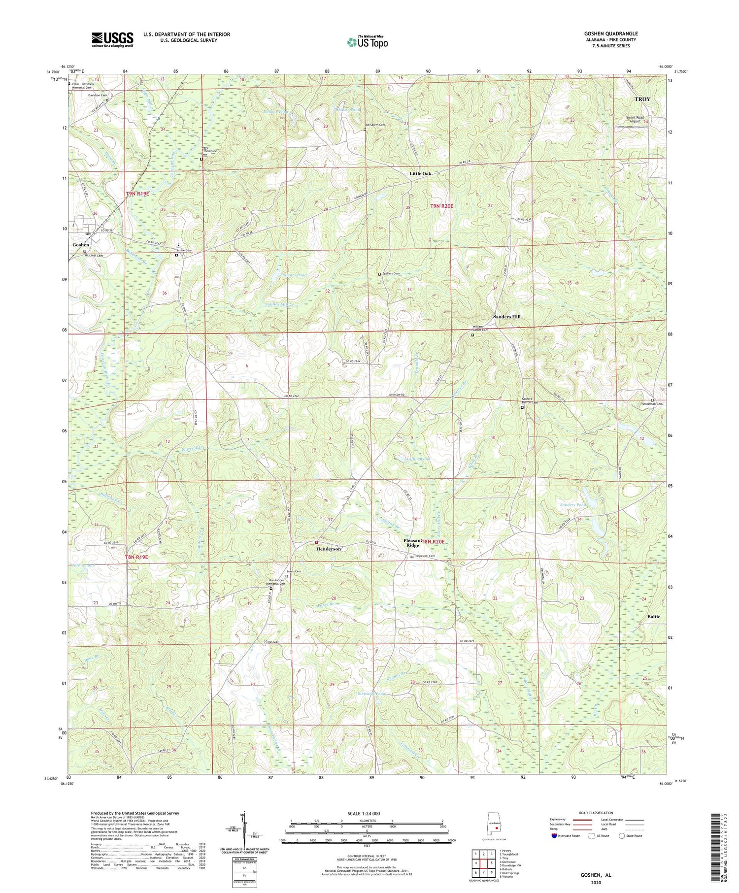
2024 topographic map quadrangle Goshen in the state of Alabama. Scale: 1:24000. Based on the newly updated USGS 7.5' US Topo map series, this map is in the following counties: Pike. The map contains contour data, water features, and other items you are used to seeing on USGS maps, but also has updated roads and other features. This is the next generation of topographic maps. Printed on high-quality waterproof paper with UV fade-resistant inks.
Quads adjacent to this one:
West: Glenwood
Northwest: Petrey
North: Youngblood
Northeast: Troy
East: Brundidge NW
Southeast: Victoria
South: Bluff Springs
Southwest: Bullock
This map covers the same area as the classic USGS quad with code o31086f1.
Contains the following named places: Baltic, Bethel Church, Billwood Creek, Broadhead Creek, Dallasville Post Office, Davidson Cemetery, Dogwood Acres, Dolton Branch, Dunbar Pond, Elam - Davidson Memorial Cemetery, Elam Branch, Elam Church, Folmars Pond, Friendship Church, Gainers Store Post Office, Gibson Pond, Goshen, Goshen Elementary School, Goshen High School, Goshen Post Office, Hallsville, Hanchey, Henderson, Henderson Cemetery, Henderson Church, Henderson Memorial Cemetery, Henderson Volunteer Fire Department, Henderson-Spring Hill Division, Hillcrest Cemetery, Hopewell Cemetery, Hopewell Primitive Baptist Church, Howard Creek, Lewis Cemetery, Little Oak, Little Oak Methodist Church, Loflins Pond, Lynn Mill Creek, Mount Hillard Church, Murphree Lake, Murphree Lake Dam, Norris Pond, Ogletree Branch, Old Salem Cemetery, Palmyra, Parks Branch, Pleasant Ridge, Pleasant Ridge Church, Pleasant Ridge Elementary School, Robertson Branch, Sanders Creek, Sanders Hill, Sanders Pond, Sanders Pond Dam, Sanford Barron Cemetery, Shaver Pond, Silers Mill Creek, Smart Road Airport, Smilie Cemetery, Smilies Mill Creek, Spillars Cemetery, Stewarts Pond, Stringer High School, Tenmile Branch, Town of Goshen, Ward - Thompson Cemetery, Warrick Creek, Wellington Academy, White Branch, William Carter Cemetery


