MyTopo
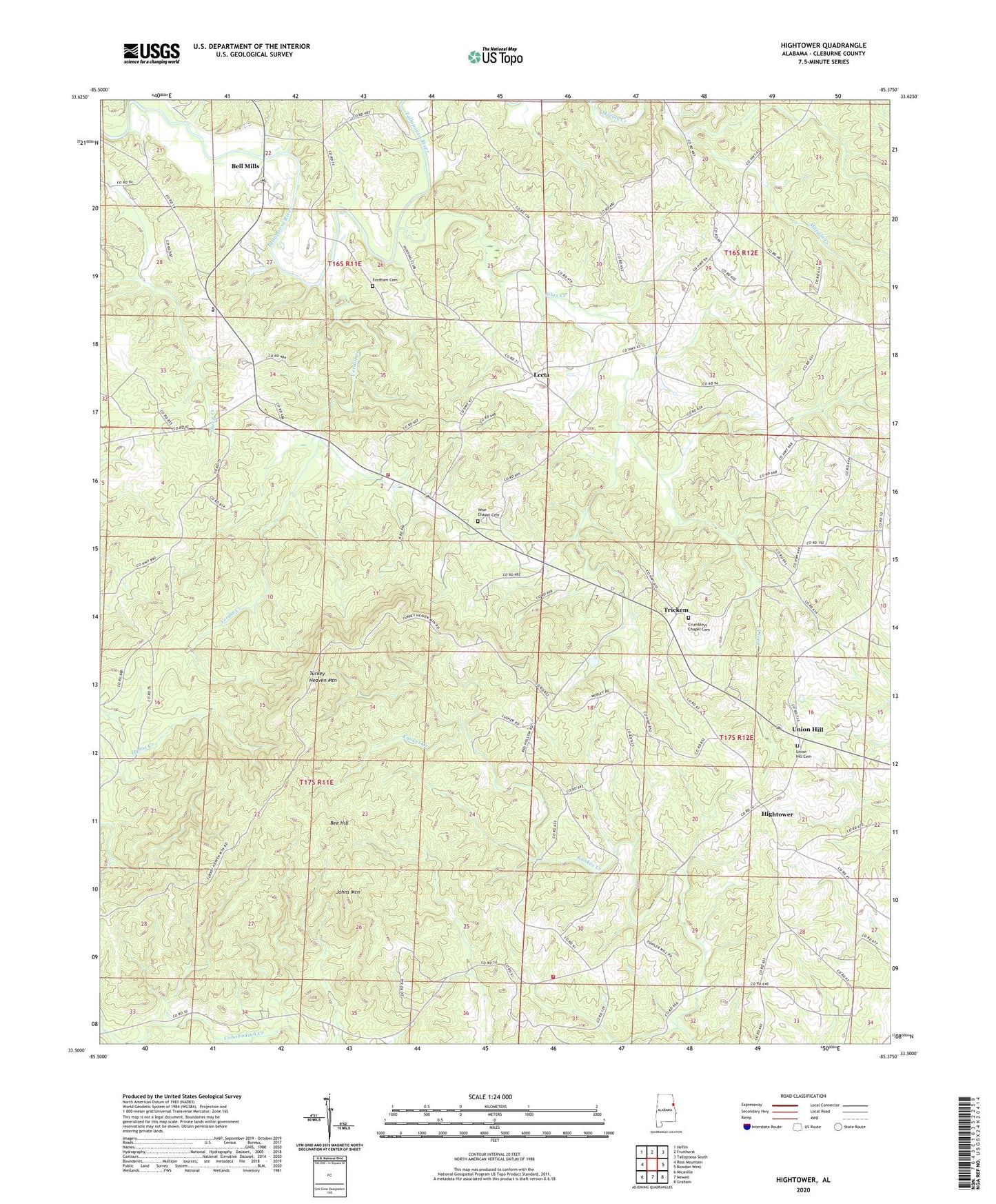
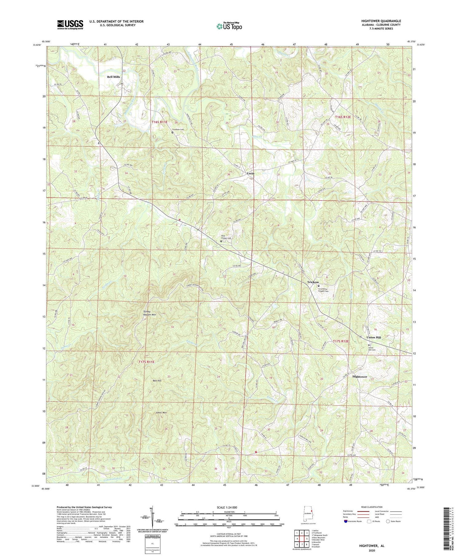
Hightower Alabama US Topo Map
Couldn't load pickup availability
2024 topographic map quadrangle Hightower in the state of Alabama. Scale: 1:24000. Based on the newly updated USGS 7.5' US Topo map series, this map is in the following counties: Cleburne. The map contains contour data, water features, and other items you are used to seeing on USGS maps, but also has updated roads and other features. This is the next generation of topographic maps. Printed on high-quality waterproof paper with UV fade-resistant inks.
Quads adjacent to this one:
West: Ross Mountain
Northwest: Heflin
North: Fruithurst
Northeast: Tallapoosa South
East: Bowdon West
Southeast: Graham
South: Newell
Southwest: Micaville
This map covers the same area as the classic USGS quad with code o33085e4.
Contains the following named places: Bee Hill, Bell Mills, Cleburne County Vocational School, Crumbleys Chapel Church of God, Crumleys Chapel Cemetery, Fordham Cemetery, Fortner School, Fowlers Store, Hensen School, Hightower, Hopewell Church, Howles Grove Church, Hurricane United Methodist Church, Johns Mountain, Johnywady Creek, Lecta, Macedonia Church, McLeroys Store, Mountain View Church, Pleasant Grove Church, Ranburne Division, Salem Grove Church, Silas Creek, Slate Hill School, Trickem, Turkey Heaven Mountain, Turkey Heaven Mountain Lookout Tower, Turkey Heaven Volunteer Fire Department, Turkey Heaven Volunteer Fire Department Substation, Union Hill, Union Hill Baptist Church, Union Hill Baptist Church Cemetery, Verdin Chapel, Verdin Creek, Wise Chapel Cemetery, Wise Chapel Church, Wise Chapel United Methodist Church, Wise School, ZIP Code: 36273


