MyTopo
Isle aux Herbes Alabama US Topo Map
Couldn't load pickup availability
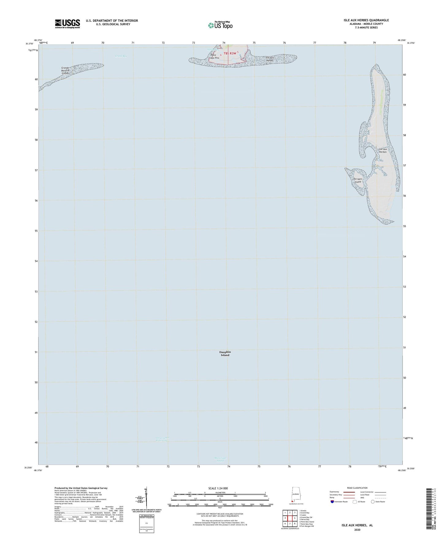
2024 topographic map quadrangle Isle aux Herbes in the state of Alabama. Scale: 1:24000. Based on the newly updated USGS 7.5' US Topo map series, this map is in the following counties: Mobile. The map contains contour data, water features, and other items you are used to seeing on USGS maps, but also has updated roads and other features. This is the next generation of topographic maps. Printed on high-quality waterproof paper with UV fade-resistant inks.
Quads adjacent to this one:
West: Grand Bay SW
Northwest: Kreole
North: Grand Bay
Northeast: Coden
East: Heron Bay
Southeast: Fort Morgan NW
South: Petit Bois Pass
Southwest: Petit Bois Island
This map covers the same area as the classic USGS quad with code o30088c3.
Contains the following named places: Isle aux Dames, Isle aux Herbes, Point aux Pins, Portersville Bay, Terrapin Island