MyTopo
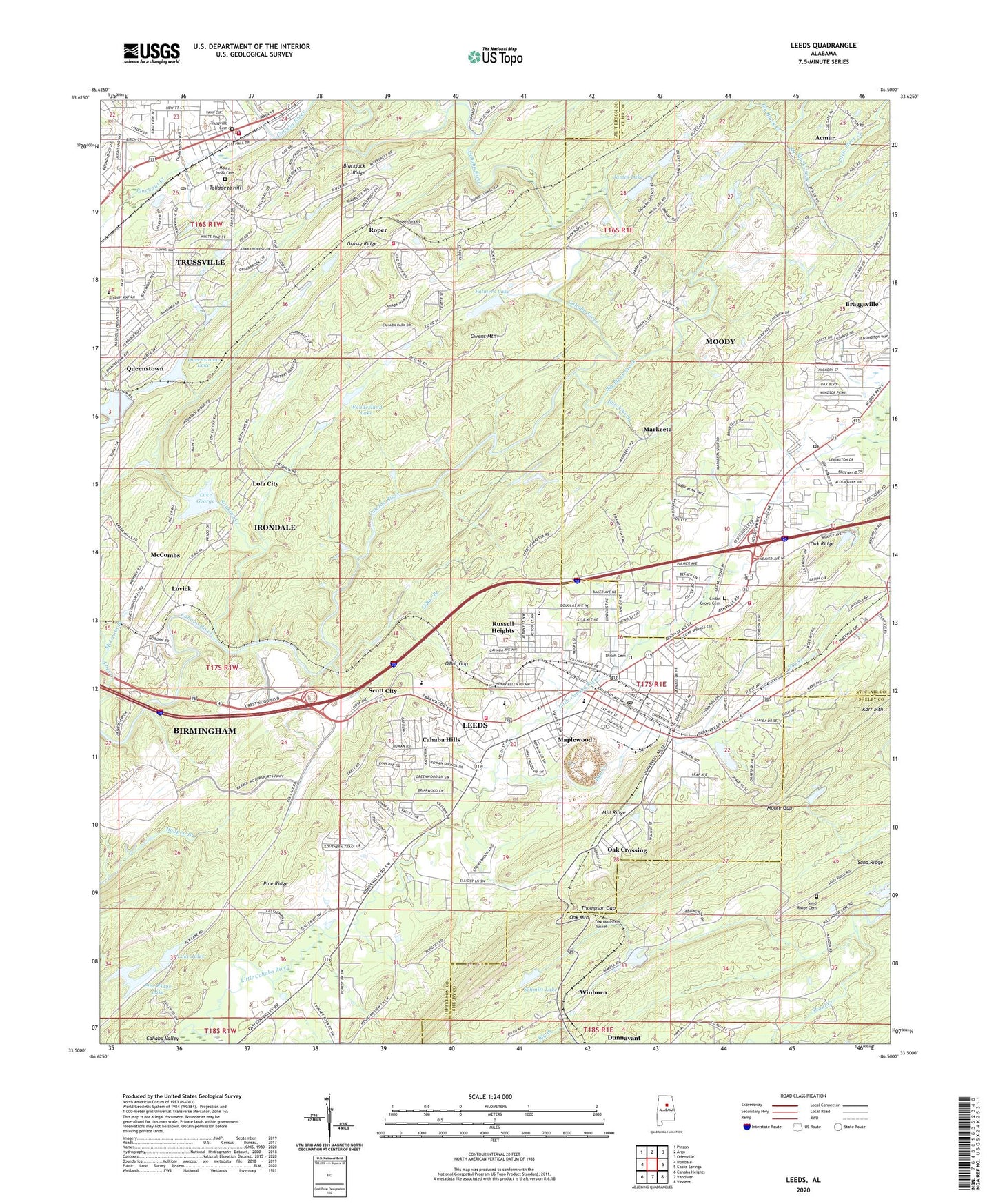
Leeds Alabama US Topo Map
Couldn't load pickup availability
2024 topographic map quadrangle Leeds in the state of Alabama. Scale: 1:24000. Based on the newly updated USGS 7.5' US Topo map series, this map is in the following counties: Jefferson, St. Clair, Shelby. The map contains contour data, water features, and other items you are used to seeing on USGS maps, but also has updated roads and other features. This is the next generation of topographic maps. Printed on high-quality waterproof paper with UV fade-resistant inks.
Quads adjacent to this one:
West: Irondale
Northwest: Pinson
North: Argo
Northeast: Odenville
East: Cooks Springs
Southeast: Vincent
South: Vandiver
Southwest: Cahaba Heights
This map covers the same area as the classic USGS quad with code o33086e5.
Contains the following named places: Acmar Community Church, Acton Mine, Adkins Mill, Austin Hill, Big Black Creek, Braggsville, Cahaba Cove, Cahaba Hills, Calaway Slope Mine, Camp Coleman, Cedar Grove, Cedar Grove Baptist Church, Cedar Grove Cemetery, Cedar Grove Post Office, Cedar Springs Park, Century Methodist Church, Church of the Holy Cross, City of Leeds, Corinth Church, Dry Creek, Eades Slope Mine, East Grove Baptist Church, Fairview Freewill Baptist Church, First Baptist Church, First Methodist Church, First Presbyterian Church, First Presbyterian Church of Trussville, First United Methodist Church, Forest Hills, Grassy Ridge, Hawkins Branch, Heathermoor Estates, Henry Ellen, Henry Ellen Mine, Heritage Park, Hewitt School, Highlandview Church, Hills Christian Methodist Episcopal Chapel, Holy Infant of Prague Catholic Church, Hundred Oaks, James Dam, James Lake, Jones Mine, Kincaid Mine, Lake George, Lake George Dam, Lake Jules, Lake Jules Dam, Leeds, Leeds City Park, Leeds Civic Center, Leeds Division, Leeds Elementary School, Leeds Fire and Rescue Station 1, Leeds Fire Department Station 2, Leeds High School, Leeds Mineral Well, Leeds Post Office, Leeds Presbyterian Church, Little Black Creek, Little Cahaba Creek, Lola City, Lovick, Macedonia Baptist Church, Maplewood, Markeeta, Marketta Baptist Church, McBreers Slope Mine, McComb Ford, McCombs, McCombs Branch, Middle Black Creek, Mill Ridge, Miracle Hill Church, Moody Post Office, Moore Gap, Moton High School, Mount Nebo Cemetery, Mount Olive Baptist Church, Mount Pleasant Baptist Church, Mountain Lake, Nash Dam, Nash Lake, New Jerusalem Church, Oak Crossing, Oak Mountain Tunnel, O'Bar Branch, O'Bar Gap, Palmers Lake, Pathway Baptist Church, Pinchgut Creek, Pine Ridge Club Dam, Pine Ridge Lake, Queenstown, Queenstown Lake, Queenstown Lake Number 1 Dam, Queenstown Lake Number 2 Dam, Red Diamond Mine, Ridgewood Estates, Riley Slope Mine, Roper, Roper Tunnel, Russell Heights, Saint Theresa Catholic Church, Sand Ridge, Sand Ridge Cemetery, Schmitt Dam, Schmitt Lake, Scott City, Shiloh Cemetery, Spruell Drift Mine, Stinking Creek, Sulphur Springs Church, Sulphur Springs Dam, Talladega Hill, Terry Walker Country Club, Thompson Gap, Tidwell Church, Trussville, Trussville Cemetery, Trussville Division, Trussville Fire and Rescue Service Station 1, Trussville Fire and Rescue Service Station 2, Trussville Manor, Trussville Police Department, Trussville Post Office, Valley View Church, Wanderland Lake, Whites Chapel, Whites Chapel Church, Winburn, Woodland Village, Zeigler Mine, ZIP Code: 35094


