MyTopo
Cahaba Heights Alabama US Topo Map
Couldn't load pickup availability
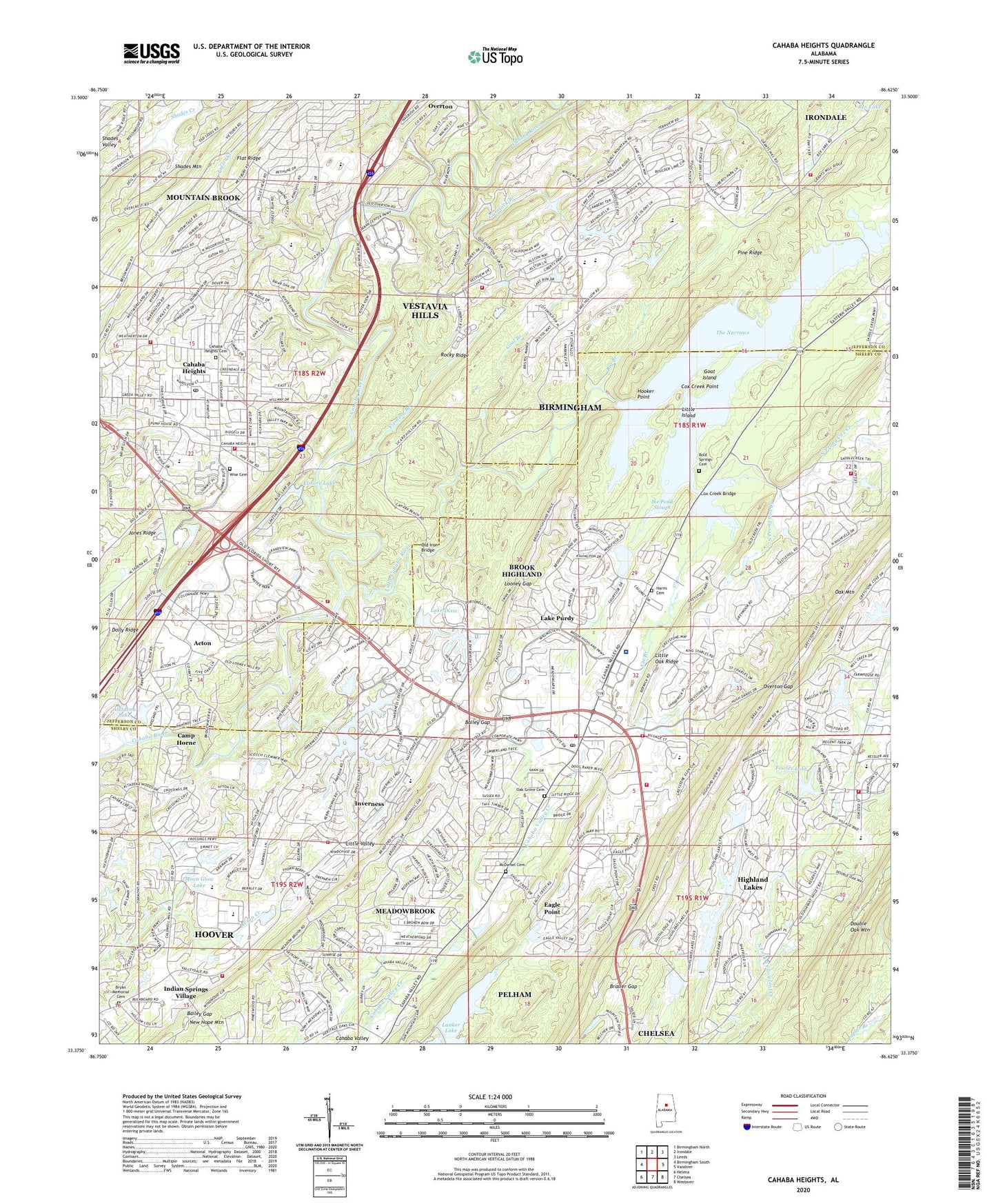
2024 topographic map quadrangle Cahaba Heights in the state of Alabama. Scale: 1:24000. Based on the newly updated USGS 7.5' US Topo map series, this map is in the following counties: Shelby, Jefferson. The map contains contour data, water features, and other items you are used to seeing on USGS maps, but also has updated roads and other features. This is the next generation of topographic maps. Printed on high-quality waterproof paper with UV fade-resistant inks.
Quads adjacent to this one:
West: Birmingham South
Northwest: Birmingham North
North: Irondale
Northeast: Leeds
East: Vandiver
Southeast: Westover
South: Chelsea
Southwest: Helena
This map covers the same area as the classic USGS quad with code o33086d6.
Contains the following named places: Acton, Acton Lake Dam, Altadena Country Club, Altadena Lake, Altadena Ridge Estates, Altadena Square Shopping Center, Altadena Woods, Asbury Park, Bailey Gap, Ballard Mine, Bethel Church, Big Branch, Birmingham Fire and Rescue Service Station 32, Blue Pond, Bold Spring Presbyterian Church, Bold Springs Cemetery, Brasier Gap, Briarwood Church, Briarwood School, Bridgeton, Brook Highland, Brook Highland Census Designated Place, Brookwood Forest School, Bryan Memorial Cemetery, Bryan Presbyterian Memorial Church, Cahaba Church, Cahaba Cliffs, Cahaba Commons, Cahaba Heights, Cahaba Heights Cemetery, Cahaba Heights Census Designated Place, Cahaba Heights Elementary School, Cahaba Heights Plaza Shopping Center, Cahaba Heights Post Office, Cahaba Mall Shopping Center, Cahaba Oaks, Cahaba Pumping Station, Cahaba Valley Church, Cahaba Valley Fire Station 181, Cahaba Valley Fire Station 183, Cahaba Valley Fire Station 184, Cahaba Valley Office Park, Caldwell Shopping Center, Camp Horne, Christ Church, City of Mountain Brook, Clark Mine, Clear Springs Church, Coal Branch, Cox Creek Bridge, Cox Creek Point, Crosshaven Plaza Shopping Center, De Shazoo Mill Ford, Dodd Ford, Duke Mine, Dunbarton Oaks, Eagle Point, Eagle Point Census Designated Place, Elmore Lake, Fire Station Number 32, Fleming Branch, Fletcher Estate Lake, Fletcher Properties Lake Dam, Fowler Lake, Fowler Lake Dam, Fuller Creek, Gary, Goat Island, Gumsuck Branch, Harris Cemetery, Heather Lake, Heritage Oaks, Hickory Ridge, Highland Church, Highland Lakes Census Designated Place, Homestead, Hooker Point, Hoover Fire Department Station 7, Hoover Fire Department Station 8, Ike Pond Slough, Inverness, Inverness Cliffs, Inverness Elementary School, Inverness Plaza Shopping Center, Inverness Point, Irondale Bridge, Jeb Branch, Lake Dixie, Lake Dixie Dam, Lake Helen, Lake Heron, Lake Purdy, Lake Purdy Dam, Lee Branch, Lee Store, Liberty Church, Little Cahaba River, Little Island, Little Oak Ridge, Little Ridge Estates, Looney Gap, Lunker Lake, Market Square Shopping Center, McDaniel Cemetery, McDavid Lake, McDavid Lake Dam, Meadow Ridge, Meadowbrook, Meadowbrook Census Designated Place, Meadowbrook Post Office, Moon Glow Lake, Moon Glow Lake Dam, Morning Sun Villas, Mountain Brook Country Club, Mountain Brook Fire Department Station 2, New Hope Mountain, North Prong Cox Creek, North Shelby County Fire and Emergency Medical District Station 1, North Shelby County Fire and Emergency Medical District Station 3, Oak Grove Cemetery, Oak Grove Church, Oak Mountain, Oak Mountain Lake Dam Number Two, Old Iron Bridge, Old Mud Town, Overton Gap, Overton Manor, Overton Mine, Overton Number 1 Slope Mine, Overton Village Shopping Center, Poole Ford, Pump Station Mine, Riverwood, Roberts Wagon Mine, Rocky Ridge, Saint Vincent's Hospital One Nineteen, Shoal Run, South Prong Cox Creek, Spain Church Camp, Spain Park, Sunnymeadows, The Narrows, Thompson Mine, Valleydale Village Shopping Center, Vestavia Hills Fire Department Station 4, Vestavia Hills Fire Department Station 5, W68A-TV (Mountain Brook), Wellington Park, Westbrook Trace, Wise Cemetery, Woodford, Wooten Chapel, ZIP Codes: 35223, 35242, 35243


