MyTopo
Mason Bend Alabama US Topo Map
Couldn't load pickup availability
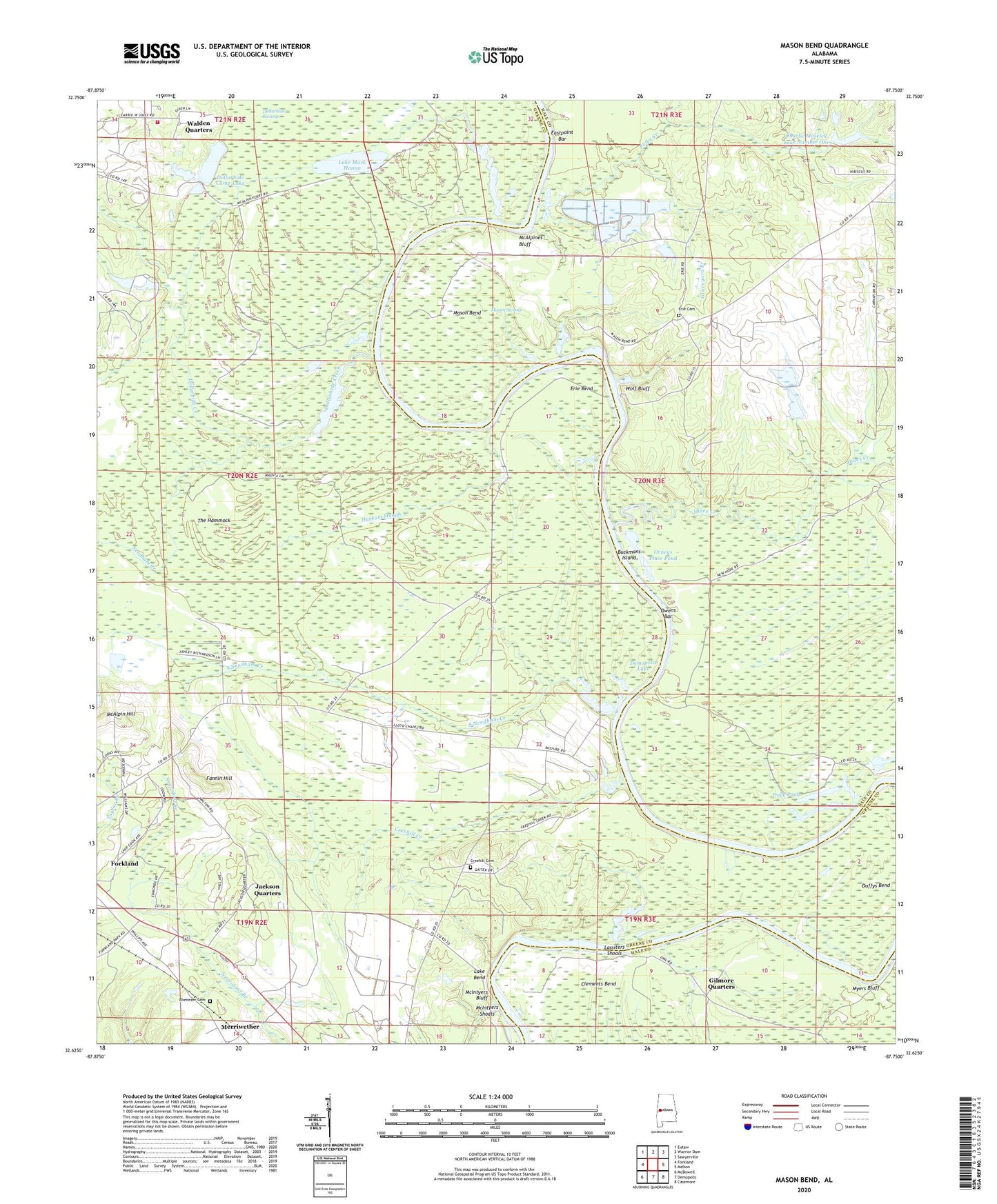
2024 topographic map quadrangle Mason Bend in the state of Alabama. Scale: 1:24000. Based on the newly updated USGS 7.5' US Topo map series, this map is in the following counties: Greene, Hale. The map contains contour data, water features, and other items you are used to seeing on USGS maps, but also has updated roads and other features. This is the next generation of topographic maps. Printed on high-quality waterproof paper with UV fade-resistant inks.
Quads adjacent to this one:
West: Forkland
Northwest: Eutaw
North: Warrior Dam
Northeast: Sawyerville
East: Melton
Southeast: Casemore
South: Demopolis
Southwest: McDowell
This map covers the same area as the classic USGS quad with code o32087f7.
Contains the following named places: Baptizing Branch, Birdine School, Buckmans Island, Charlie Moseley Dam Number 1, Charlie Moseley Dam Number 2, Charlie Moseley Lake Number One, Charlie Moseley Lake Number Two, Christian Valley Church, Christian Valley School, Clements Bend, Clements Landing, Creehill Cemetery, Creehill Creek, Dollarhide Camp, Dollarhide Camp Lake, Dollarhide Creek, Dollarhide Hunting Club Dams, Dollarhide Hunting Lake, Dollarhide Volunteer Fire Department, Duck Pond, Duffys Bend, Duffys Ponds, East Port Landing, Eastpoint Bar, Ebenezer Cemetery, Ebenezer Presbyterian Church, Ebenezer School, Erie Bend, Erie Bend Camp, Erie Cemetery, Fannin Hill, Gilmore Quarters, Graveyard Branch, Harkum Slough, Hines Creek, Jackson Quarters, Lake Bend, Lake Bend Landing, Lake Mark Hanna, Lassiters Shoals, Lloyds Chapel Church, Lock Number Six, Lock Number Six Left Bank Public Use Area, Loyss School, Mason Bend, Mason Swamp, McAlpin Hill, McAlpines Bluff, McAlpines Ferry, McIntyers Bluff, McIntyers Shoals, Merriwether, Millwood, Millwood Landing, Myers Bluff, Myers Landing, Needham Creek, Orneys Place Pond, Owens Bar, Owens Landing, Peter Creek, Pole and Be Damned Reach, Rocky Ford, Saint Matthew School, Saint Matthews Church, South Needham Creek, The Hammock, Town of Forkland, Walden Quarters, Will-'-the-Wisp Camp, Wolf Bluff, Wrights Creek, ZIP Code: 36740


