MyTopo
McDowell Alabama US Topo Map
Couldn't load pickup availability
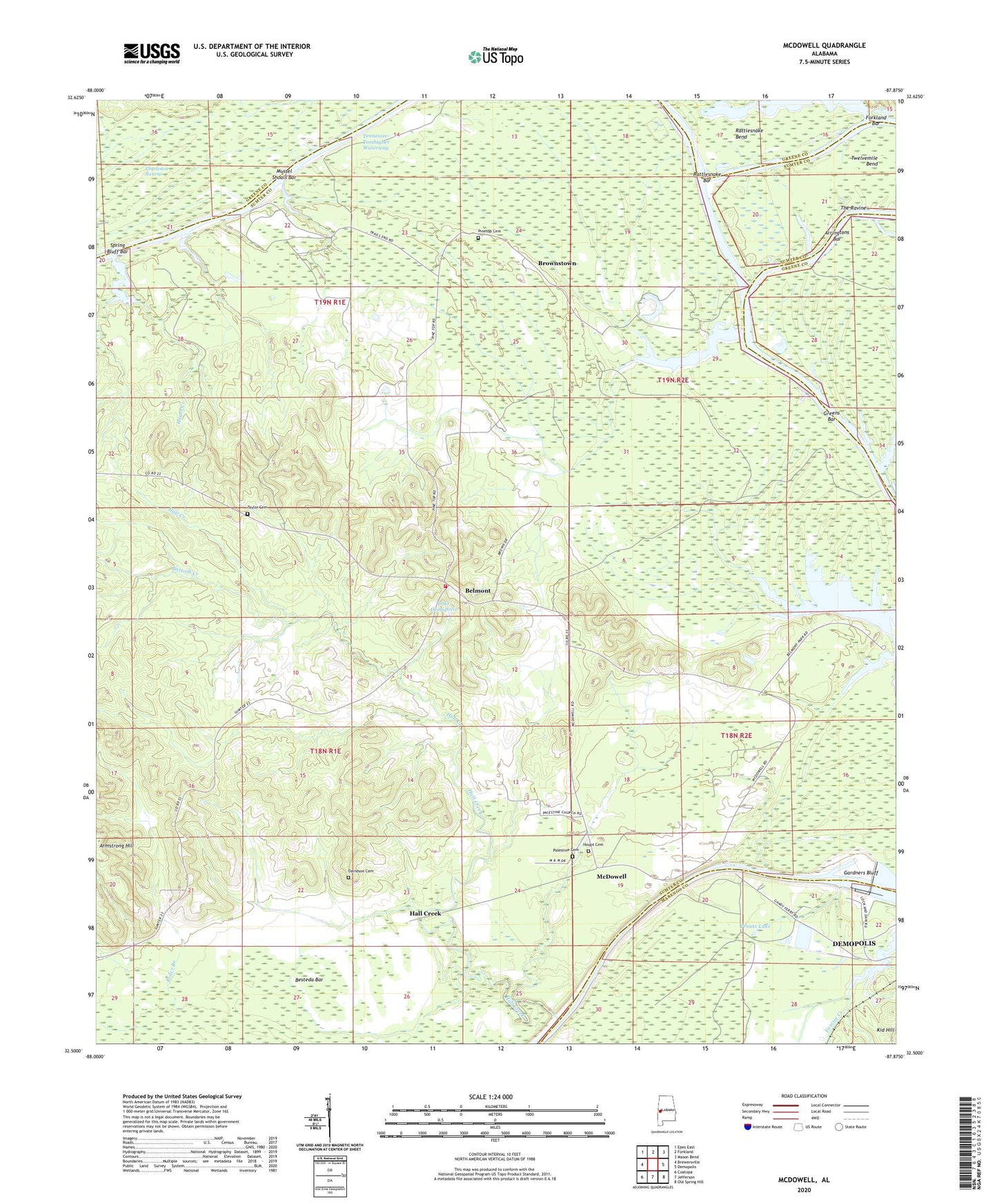
2024 topographic map quadrangle McDowell in the state of Alabama. Scale: 1:24000. Based on the newly updated USGS 7.5' US Topo map series, this map is in the following counties: Sumter, Greene, Marengo. The map contains contour data, water features, and other items you are used to seeing on USGS maps, but also has updated roads and other features. This is the next generation of topographic maps. Printed on high-quality waterproof paper with UV fade-resistant inks.
Quads adjacent to this one:
West: Brewersville
Northwest: Epes East
North: Forkland
Northeast: Mason Bend
East: Demopolis
Southeast: Old Spring Hill
South: Jefferson
Southwest: Coatopa
This map covers the same area as the classic USGS quad with code o32087e8.
Contains the following named places: Armstrong Hill, Arringtons Bar, Belmont, Belmont Church, Belmont Division, Belmont High School, Belmont Hunting Club, Belmont Public Use Area, Belmont Volunteer Fire Department, Besteda Bar, Big Foot Hunting Club, Bottom Creek, Brasfield Landing, Brownstown, Bucks Chapel Elementary School, Bucks Chapel Methodist Church, Charleston Swamp, Cobb Branch, Davidson Cemetery, Demopolis Lock and Dam, Demopolis State Wildlife Management Area, Flemings Landing, Forkland Bar, Gardners Bluff, Greens Bar, Greens Landing, Hall Creek, Hall Creek School, Hayes Creek, Houpt Cemetery, Lake Demopolis, Log Landing, Malakoff Landing, McComico Bar, McConnico Creek, McDowell, McDowell Ferry, McDowells Landing, Mount Carmel Church, Mussel Shoals Bar, Oak Grove Baptist Church, Oak Grove School, Palestine Baptist Church, Palestine Cemetery, Pine Top School, Pinetop Baptist Church, Pinetop Cemetery, Prouts Lake, Rattlesnake Bar, Rattlesnake Bend, Rider Branch, Ruzic Hunting Club, Saint Michael Baptist Church, Saint Michael School, Shady Grove Church, Smiths Landing, Snow Hill School, Spring Bluff Bar, Strawberry Hill Plantation, Taylor Branch, Taylor Cemetery, The Ravine, Thompsons Island, Trinity Church, Twelvemile Bend, Whiteheads Landing


