MyTopo
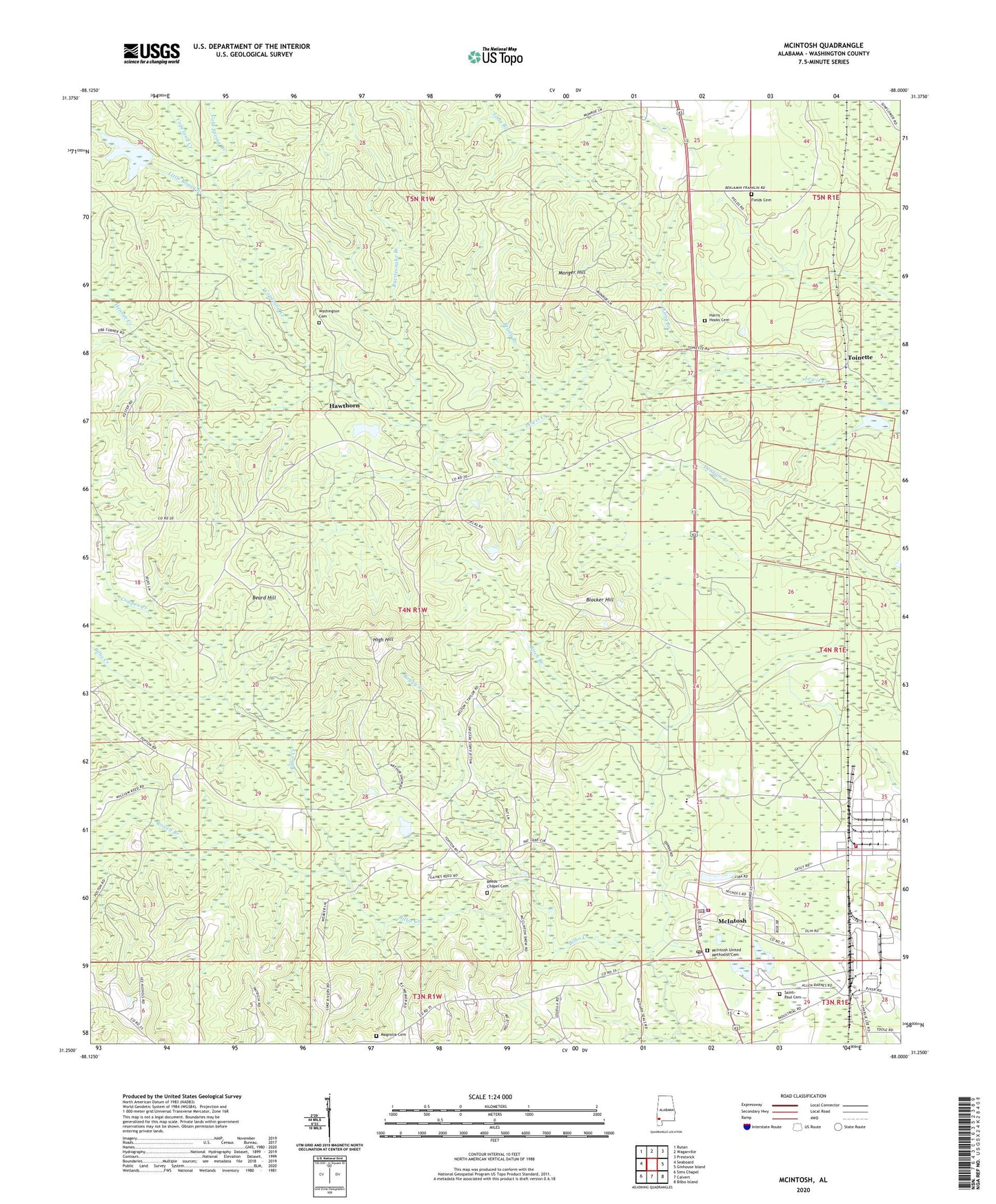
McIntosh Alabama US Topo Map
Couldn't load pickup availability
2024 topographic map quadrangle McIntosh in the state of Alabama. Scale: 1:24000. Based on the newly updated USGS 7.5' US Topo map series, this map is in the following counties: Washington. The map contains contour data, water features, and other items you are used to seeing on USGS maps, but also has updated roads and other features. This is the next generation of topographic maps. Printed on high-quality waterproof paper with UV fade-resistant inks.
Quads adjacent to this one:
West: Seaboard
Northwest: Rutan
North: Wagarville
Northeast: Prestwick
East: Ginhouse Island
Southeast: Bilbo Island
South: Calvert
Southwest: Sims Chapel
This map covers the same area as the classic USGS quad with code o31088c1.
Contains the following named places: BASF Ciba Specialty Chemicals Fire and Rescue, Beard Hill, Birch Branch, Blocker Hill, Boggy Branch, Brady Branch, Cathedral of Praise, Cold Spring Branch, Copeland Creek, Cowpen Creek, Denham Branch, Fields Cemetery, Fields School, Frank W Boykin Elementary School, Happy Gospel Church, Harris - Hooks Cemetery, Hawthorn, Henson Creek, Henson Dam, Henson Pond, High Hill, Lang's Chapel African Methodist Episcopal Zion Church, Little Boggy Branch, Long Branch, Magnolia Cemetery, Magnolia Church, McIntosh, McIntosh Academy, McIntosh High School, McIntosh Police Department, McIntosh Post Office, McIntosh Rescue Squad, McIntosh Station, McIntosh United Methodist Cemetery, McIntosh United Methodist Church, McIntosh Volunteer Fire Department, Memorial Church, Monger Hill, Mount Pleasant Baptist Church, New Testament Tabernacle Church, New Wakefield, New Wakefield Post Office, Old Washington Church, Rattlesnake Branch, Reeds Chapel Baptist Church, Reeds Chapel Cemetery, Reeds Chapel School, Roberts Church, Rowell Branch, Saint Paul Baptist Church, Saint Paul Cemetery, Sand Pit, Snow Church, Toinette, Town of McIntosh, Turkey Shoals, Washington Baptist Church, Washington Cemetery, Weaver School, Wiggins Stadium, Wilbert Reed Church


