MyTopo
Montgomery South Alabama US Topo Map
Couldn't load pickup availability
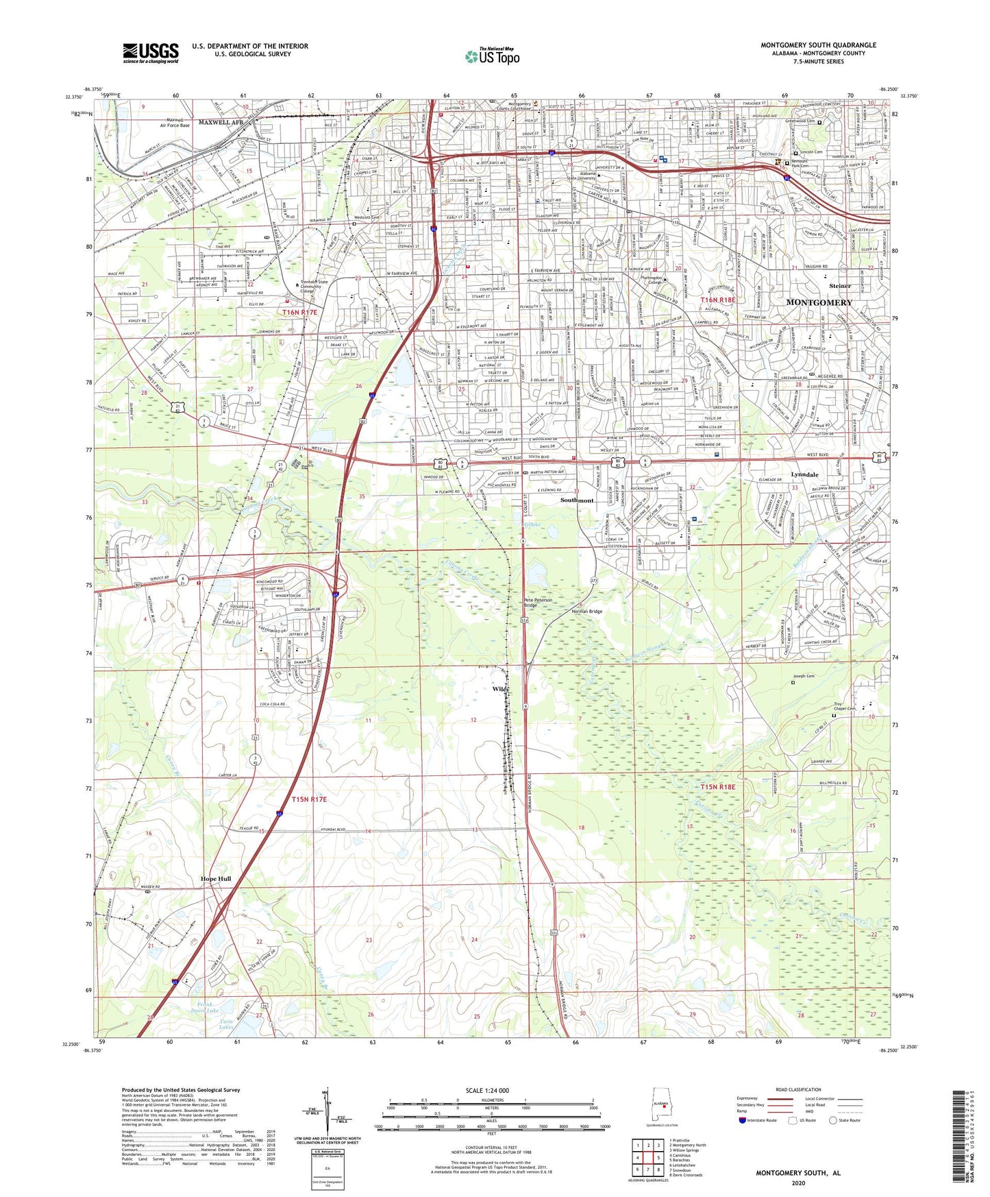
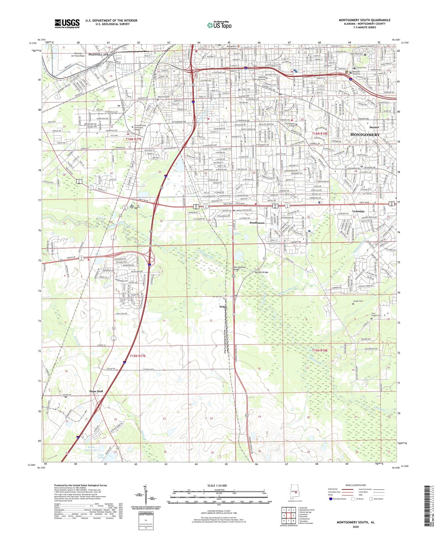
2024 topographic map quadrangle Montgomery South in the state of Alabama. Scale: 1:24000. Based on the newly updated USGS 7.5' US Topo map series, this map is in the following counties: Montgomery. The map contains contour data, water features, and other items you are used to seeing on USGS maps, but also has updated roads and other features. This is the next generation of topographic maps. Printed on high-quality waterproof paper with UV fade-resistant inks.
Quads adjacent to this one:
West: Cantelous
Northwest: Prattville
North: Montgomery North
Northeast: Willow Springs
East: Barachias
Southeast: Davis Crossroads
South: Snowdoun
Southwest: Letohatchee
This map covers the same area as the classic USGS quad with code o32086c3.
Contains the following named places: Alabama Masonic Home, Alabama State University, Arlington, Baldwin Junior High School, Baldwin Slough, Baptist Medical Center Airport, Baptist Medical Center South, Baptist State Convention Center, Barnes Private School, Bear Elementary School, Bellas Hess Shopping Center, Bellemeade, Bellinger Hill Elementary School, Bellingrath Junior High School, Bellingrath Park, Booker T Washington Community Center, Booker T Washington Junior High School, Booker T Washington Magnet High School, Brentwood, Brickdale Estates, Bruce Park, Capital City Boys Club, Capital Plaza Shopping Center, Care Ambulance Service, Carolyn Post Office, Carver High School, Carver Park, Central Area Vocational Center, Central High School for Girls, Chilton Elementary School, City Infirmary, City of Montgomery, Clayton Street High School, Cleveland Meadows, Cloverdale, Cloverdale Junior High School, Cloverland, Cloverland Post Office, Cloverland Shopping Center, Clubview Estates, Colonial Acres Country Club, Congo Square, Country Club Shopping Center, Court Street Baptist Church, Court Street Methodist Church, Covenant Independent Methodist Church, Crippled Childrens Clinic and Rehabilitation Center, Cross Creek, Crump Elementary School, Crump Park, Daisy Lawrence Elementary School, Dannelly Elementary School, Davis Elementary School, Davis Number 4 Dam, Davis Number 5 Dam, Day Street Baptist Church, Decatur Street School, Diffly Park, Downtown Montgomery Post Office, Druid Hills, Druid Hills Church of Christ, Edgemont Heights, Elsmeade, Emanuel Holiness Church, Encompass Health Rehabilitation Hospital of Montgomery, English Village, Episcopal Church of the Holy Comforter, Etz Ahayem Congregation, Faircourt Shopping Center, Fairview Hospital, Fairview Plaza Shopping Center, Farm Bureau Dam, Farm Bureau Lake, Faulkner University, Fews Elementary School, Finley Avenue Church of Christ, First Baptist Church, First Christian Church, First Church of Christ Science, First Congregational Church, Fisher Dam, Fisher Lake, Flowers Elementary School, Floyd Junior High School, Forest Avenue Elementary School, Frank Davis Dam, Frank Davis Lake, Gay Meadows, Gay Meadows Shopping Center, Genetta Ditch, Gibbs Village, Gladlane Estates, Goode Street Elementary School, Governors Estates, Governors Square Shopping Center, Greater Washington Park, Green Lantern Post Office, Greenwood Cemetery, Grove Hill, Hale Infirmary, Hamner Hall, Happy Hollow School, Harrison Elementary School, Haynes Ambulance Service Montgomery Branch, Hayneville Road Elementary School, Hayneville Road Park, Heritage School, Highland Avenue Elementary School, Highland Village, Hillake, Hillwood, Hillwood West, Hooper Academy, Hope Hull, Hope Hull Post Office, Hornet Stadium, Hugh Street School, Huntingdon College, Interstate Industrial Park, Jackson Hospital and Clinic, Jefferson Davis High School, Joseph Cemetery, Lagos del Sol, Lakeview Heights, Lanier High School, Lincoln Cemetery, Lomax School, Loveless Elementary School, Lynndale, Lynwood Terrace, Massey Draughton Business College, Maxwell Heights, Mayfair, McGehee Estates, McGehees, McInnis School, Memorial Heights, Mobile Heights, Montgomery, Montgomery Academy, Montgomery Area Vocational Center, Montgomery Boys Club, Montgomery Country Club, Montgomery County Health Center, Montgomery Fire and Rescue Department Station 10, Montgomery Fire and Rescue Department Station 7, Montgomery Fire Department Station 12, Montgomery Fire Department Station 14, Montgomery Fire Department Station 2, Montgomery Fire Department Station 4, Montgomery Fire Department Station 6, Montgomery Golf Course, Montgomery Infirmary, Montgomery Public Library, Montgomery Youth Facility, Mountain Hill Church, Noland Long Term Hospital of Montgomery, Norman Bridge, Norman Bridge South Shopping Center, Normandale, Normandale Shopping Center, Oak Park, Old Selma Road Park, Old Town Shopping Center, Our Lady of Mercy School, Our Lady Queen of Mercy Church, Perry Hills, Pete Peterson Bridge, Police Department School Security, Powelldale, Prairie View Estates, Professional Center Hospital, Ramer Creek, Remount Park Cemetery, Ridgecrest, Ridgefield, Rosemond Estates, Saint James Prep School, Saint Jude Institution, Saint Margaret Hospital, Saint Mary of Loretta School, Saint Paul Church, Seth Johnson Elementary School, Seth Johnson Estates, Smiley Young Park, Snowdoun Community Center, South Post Office, Southern Meadows, Southlawn, Southlawn East, Southlawn Elementary School, Southlawn Shopping Center, Southmont, Southside Shopping Center, Spring Park, Spring Valley, Standard Country Club, Starke University School, Steiner, Sunshine Acres, Taylor Field, Trenholm State Technical College, Trinity Lutheran School, Troy Chapel, Troy Chapel Cemetery, Twin Lakes, Valley Whispers, Vaughan Meadows, Village West, Walker Island, Washington Park, WCOV-TV (Montgomery), West End, Westcott Cemetery, Western Hills, Western Hills Park, Westgate, Westminster Shopping Center, Westside Post Office, Westview Gardens, WHHY-AM (Montgomery), Whites Slough, Wildwood, Wiley, Windwood, WKAB-TV (Montgomery), WLSQ-AM (Montgomery), Woodcrest Estates, Woodcrest Park, Woodley East Estates, Woodley Park, WZTN-AM (Montgomery), Young Forte Village, ZIP Codes: 36106, 36111


