MyTopo
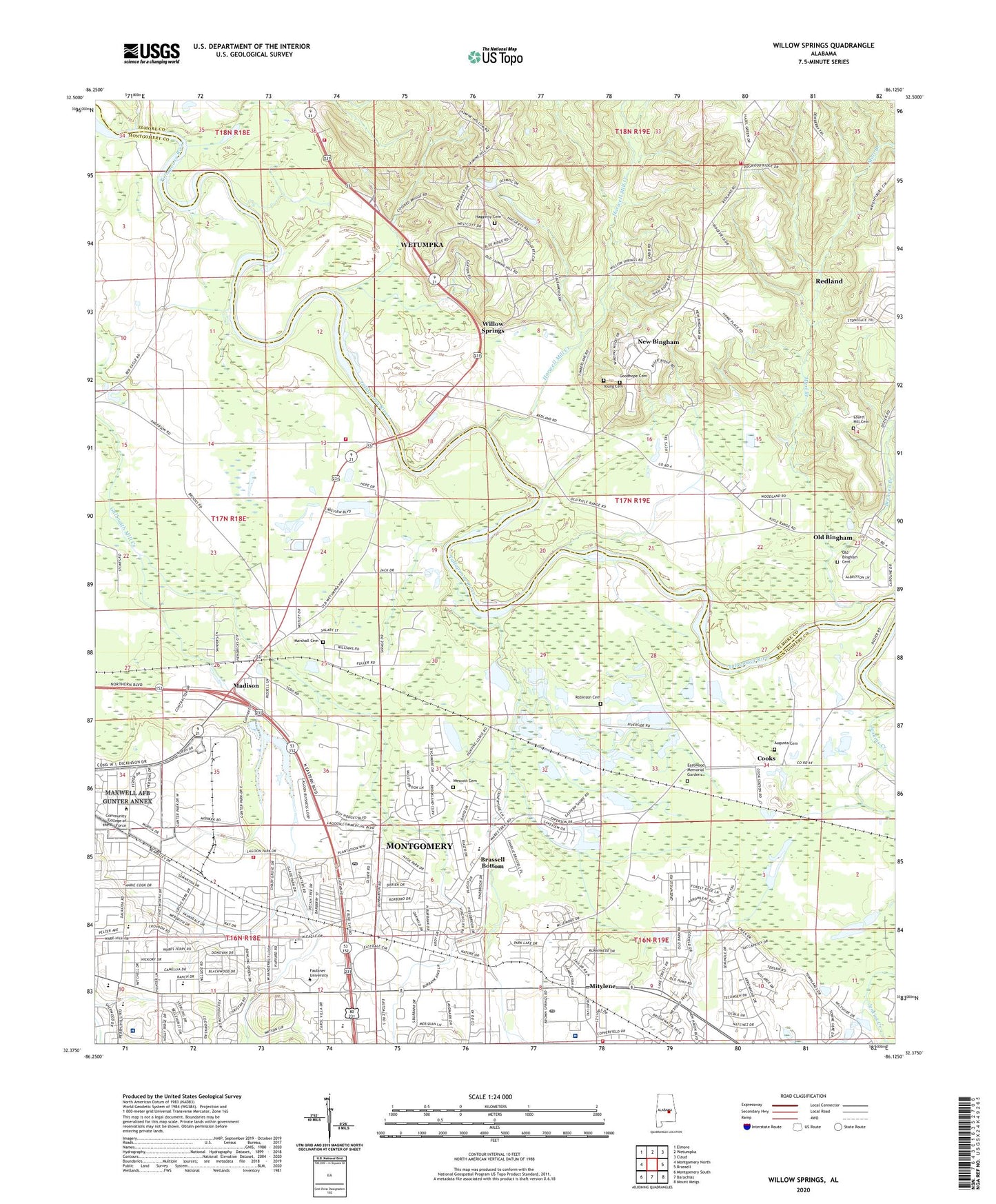
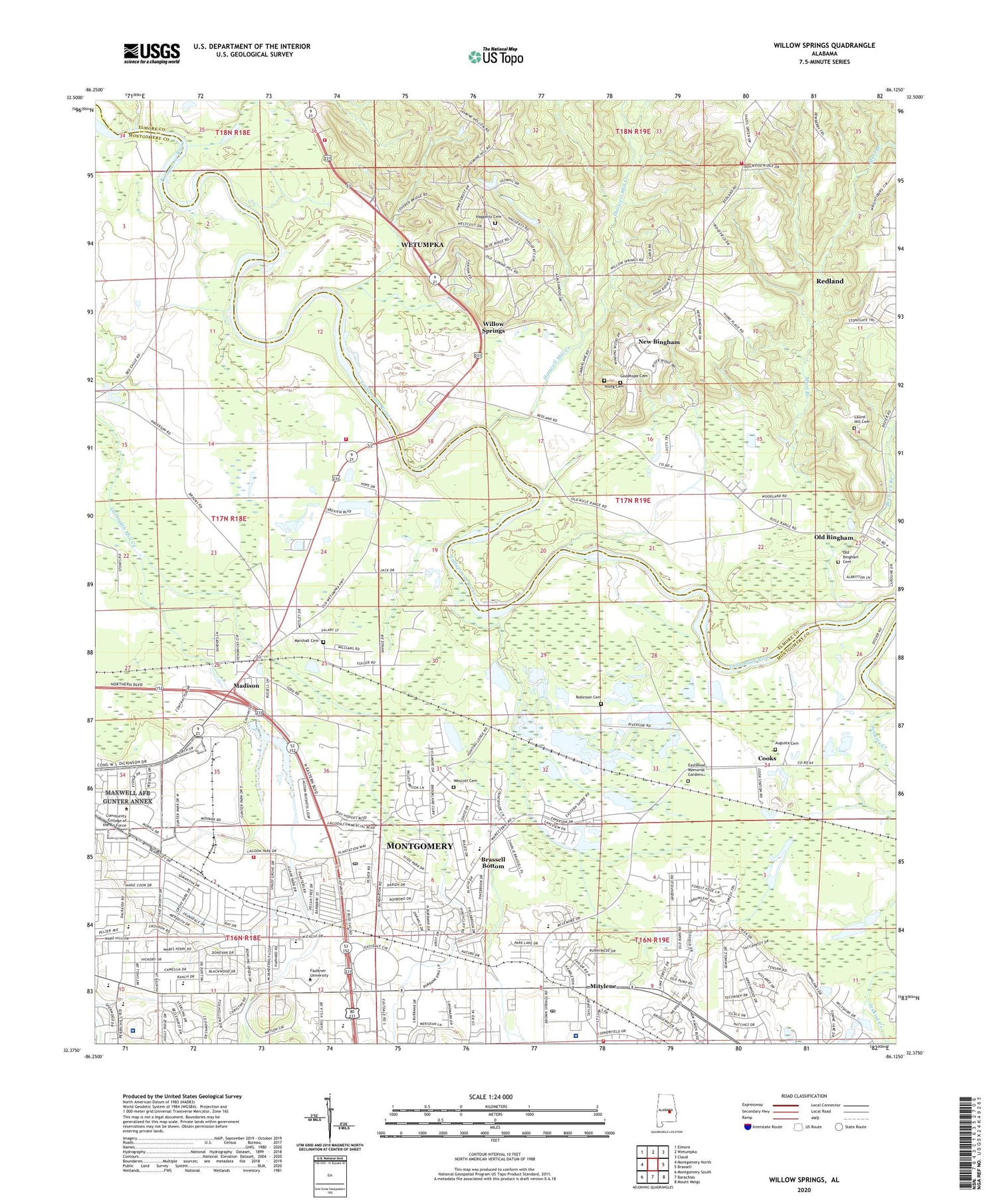
Willow Springs Alabama US Topo Map
Couldn't load pickup availability
2024 topographic map quadrangle Willow Springs in the state of Alabama. Scale: 1:24000. Based on the newly updated USGS 7.5' US Topo map series, this map is in the following counties: Montgomery, Elmore. The map contains contour data, water features, and other items you are used to seeing on USGS maps, but also has updated roads and other features. This is the next generation of topographic maps. Printed on high-quality waterproof paper with UV fade-resistant inks.
Quads adjacent to this one:
West: Montgomery North
Northwest: Elmore
North: Wetumpka
Northeast: Claud
East: Brassell
Southeast: Mount Meigs
South: Barachias
Southwest: Montgomery South
This map covers the same area as the classic USGS quad with code o32086d2.
Contains the following named places: Alabama Christian College, Arrowhead, Arrowhead Country Club, Augusta Cemetery, Azalea Woods Estates, Baptist Medical Center East, Bell Plaza Shopping Center, Bellehurst, Bethel Baptist Church, Bible Methodist Church, Blue Ridge, Blue Ridge Baptist Church, Blue Ridge Estates, Brassell Bottom, Brensen Branch, Bridgeview Baptist Church, Capital City Baptist Church, Carol Villa Shopping Center, Central Alabama Veterans Health Care System West Campus, College Grove, Cooks, Dalraida, Dalraida Baptist Church, Dalraida Elementary School, Dalraida Shopping Center, Dalraida United Methodist Church, Dozier Elementary School, Dozier School, Eastdale Baptist Chapel, Eastdale Mall Shopping Center, Eastmont, Eastmont Baptist Church, Eastmont Plaza Shopping Center, Eastwood Memorial Gardens, First Independent Methodist Church, Four Spot Church, Frazer Memorial United Methodist Church, Froggy Bottom Pond, Good Hope Cemetery, Goodhope Church, Goodhope School, Goodwyn Junior High School, Goodwyn Park, Grace at Bell Road Church, Greenridge Church, Gunter Grove, Gunter Industrial Park, Haggerty Cemetery, Harwell Mill Creek, Honor Camp Number Four, Hughes Ferry, Jasmine Hill, John Lee Acres, Johnstown, Johnstown East, Judkins Ferry, Kulumi, Lagoon Park, Lagoon Park Post Office, Landmark Church of Christ, Landmarks, Laurel Hill Cemetery, Madison, Madison Park Elementary School, Marl Branch, Marshall Cemetery, McLemore School, Midlien Baptist Church, Mitylene, Montgomery Baptist Temple, Montgomery East, Montgomery East Industrial Park, Montgomery East Plaza Shopping Center, Montgomery Fire Department Station 15, Montgomery Fire Department Station 5, Montgomery Post Office, Montgomery Surgical Center, Montgomery Water Filtration Plant, Mount Cleveland Baptist Church, Mountain View Estates, Muklassa, New Bingham, New Canaan Baptist Church, Old Augusta, Old Bingham, Old Bingham Cemetery, Old Elam, Old Elam Baptist Church, Pineview Manor School, Plaza East Shopping Center, Redland Bluffs, Redland Census Designated Place, Redland Volunteer Fire Department Station 1, Riverside Race Track, Robinson Cemetery, Saint Bedes Catholic School, Saint Paul Lutheran Church, Sawanogi, Second Baptist Church, Sunshine Village, Thomas C Head School, Timbers, Tippacanoe, Todd Industrial Park, Union African Methodist Episcopal Zion Chapel, Union Square Shopping Center, University Church of Christ, Wares Ferry Elementary School, Wares Ferry Road Baptist Church, Wescott Cemetery, WETU-AM (Wetumpka), Wetumpka Volunteer Fire Department Station 4, WHHY-FM (Montgomery), Willow Springs, Winters Ferry, WLWI-FM (Montgomery), Young Cemetery, ZIP Codes: 36093, 36109, 36115, 36117


