MyTopo
Parrish Alabama US Topo Map
Couldn't load pickup availability
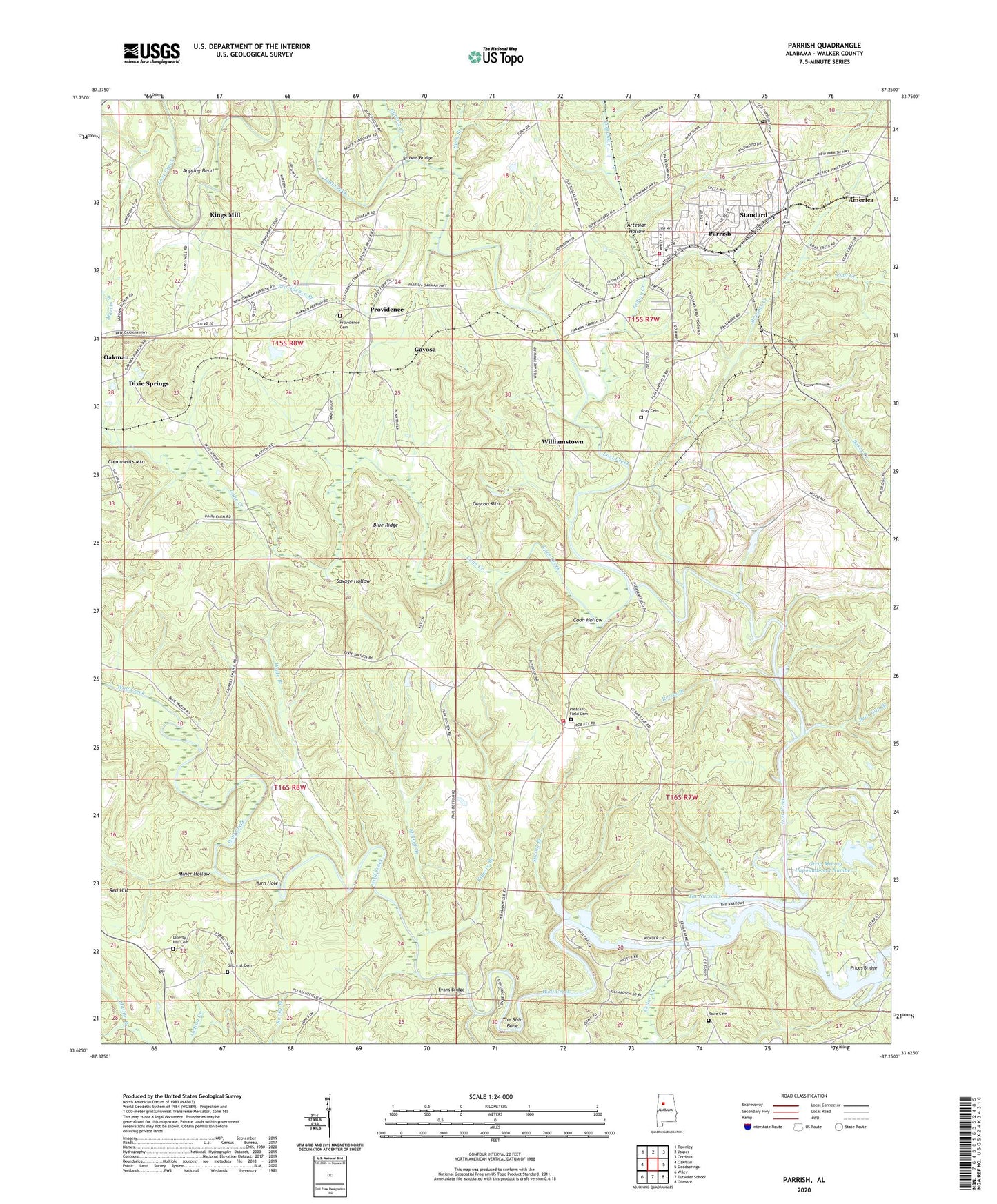
2024 topographic map quadrangle Parrish in the state of Alabama. Scale: 1:24000. Based on the newly updated USGS 7.5' US Topo map series, this map is in the following counties: Walker. The map contains contour data, water features, and other items you are used to seeing on USGS maps, but also has updated roads and other features. This is the next generation of topographic maps. Printed on high-quality waterproof paper with UV fade-resistant inks.
Quads adjacent to this one:
West: Oakman
Northwest: Townley
North: Jasper
Northeast: Cordova
East: Goodsprings
Southeast: Gilmore
South: Tutwiler School
Southwest: Wiley
This map covers the same area as the classic USGS quad with code o33087f3.
Contains the following named places: America, Appling Bend, Artesian Hollow, Atlas Mines, Bear Gap Branch, Blue Ridge, Browns Bridge, Bryant Creek Mine, Bryants Creek, Busby Mine, Cain Store, Cane Creek, Cedar Creek, Cedar Lake, Central Church, Christian Chapel, Church of Christ, Coal Creek, Coon Hollow, Craft Mine, D and R Hog Farms, Dave Cobb Mine, Deer Creek Mine, Dixie Springs, Dixie Springs Mine, Ernest Chapel, Evans Bridge, Faith Church, Garrington Spring Mine, Gayosa, Gayosa Mine, Gayosa Mountain, Gilchrist Cemetery, Gorgas Mine, Gray Cemetery, Guthrie Creek, Hatt Church of Christ, Herron Number 4 Mine, Hewett Mine, Indian Creek, Indian Creek Youth Camp, Key Camp, Kilgore Branch, Kings Mill, Lee Peer Station, Liberty Hill Cemetery, Liberty Hill Number 3 Mine, Martin Branch, Mary Lee Number 1 Mine, Mathie Branch, McDuff Branch, Miner Hollow, Moss American Mine, Oakman Division, Odom Memorial Church, Old Liberty Hill Church, Parrish, Parrish Division, Parrish Drift Mine, Parrish Elementary School, Parrish High School, Parrish Post Office, Parrish Town Police Department, Parrish Volunteer Fire Department, Pleasant Field, Pleasant Field Baptist Church, Pleasant Field Cemetery, Pleasant Field School, Pleasant Field Volunteer Fire Department, Pratt Number 1 Mine, Prices Bridge, Providence, Providence Baptist Church, Providence Branch, Providence Cemetery, Red Bud Mine, Reeses Branch, Rowe Cemetery, Savage Hollow, Segco Mine, Spring Branch, Standard, Standard Mine, Strip Mining Impoundment Dam Number 1, Strip Mining Impoundment Number 1, Suck Branch, Sulphur Springs Church, Tabernacle, The Narrows, The Shin Bone, Town of Parrish, Turn Hole, Wade Branch, Williams Mill, Williamstown, Wolf Creek, Zion Church, ZIP Codes: 35579, 35580


