MyTopo
Pride Alabama US Topo Map
Couldn't load pickup availability
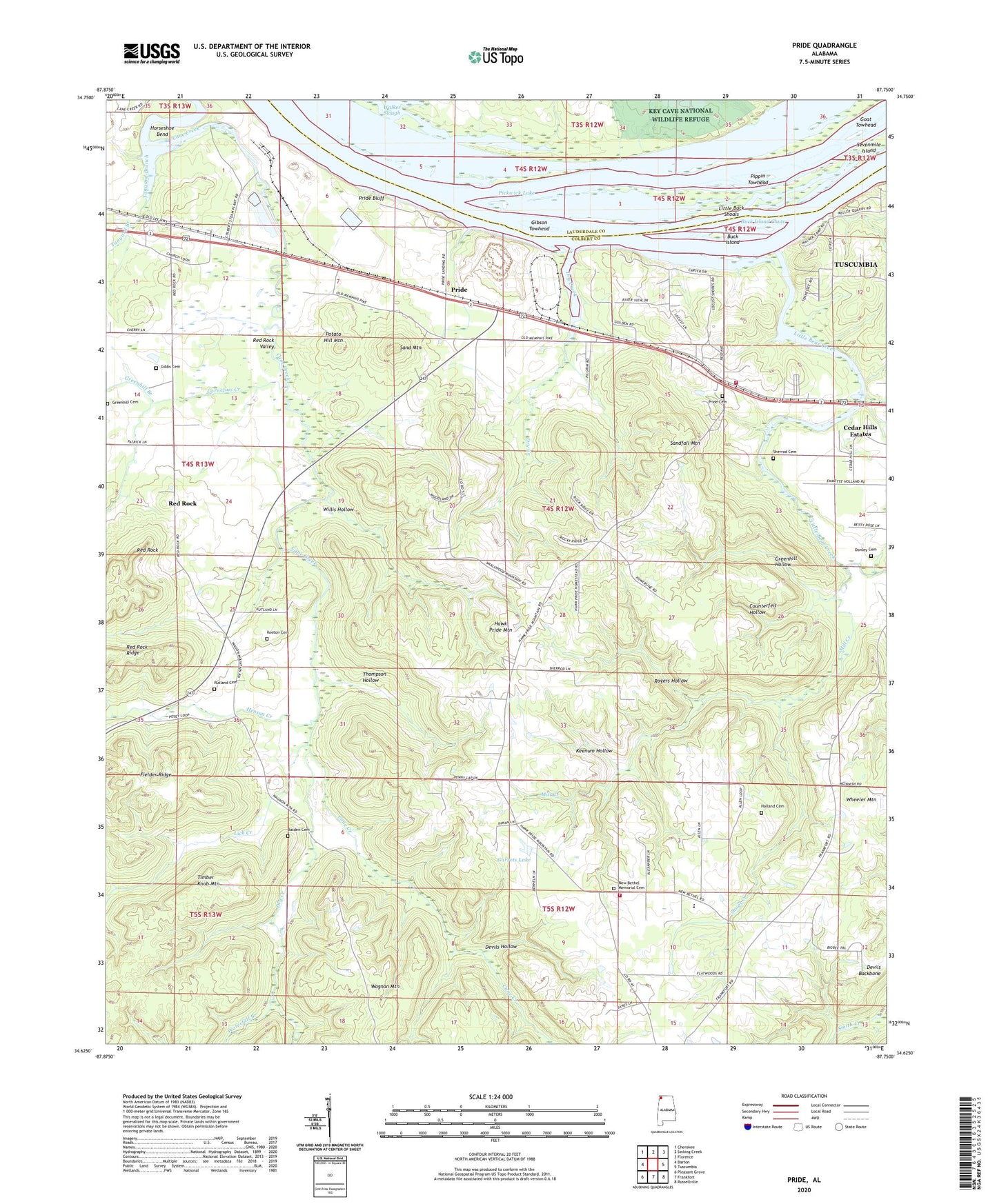
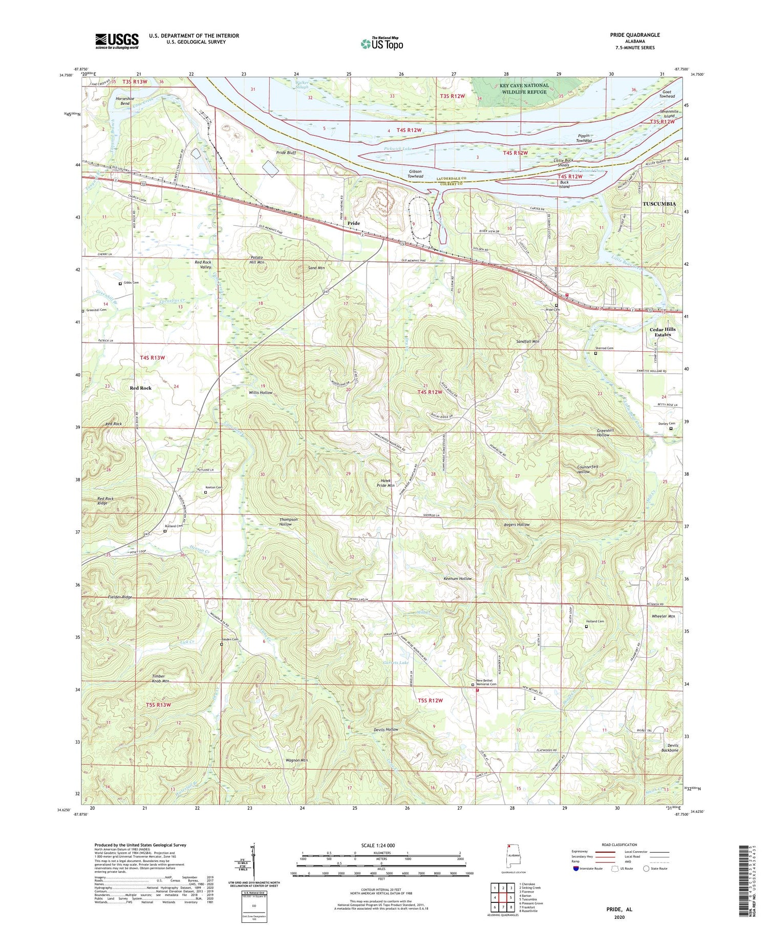
2024 topographic map quadrangle Pride in the state of Alabama. Scale: 1:24000. Based on the newly updated USGS 7.5' US Topo map series, this map is in the following counties: Colbert, Lauderdale. The map contains contour data, water features, and other items you are used to seeing on USGS maps, but also has updated roads and other features. This is the next generation of topographic maps. Printed on high-quality waterproof paper with UV fade-resistant inks.
Quads adjacent to this one:
West: Barton
Northwest: Cherokee
North: Sinking Creek
Northeast: Florence
East: Tuscumbia
Southeast: Russellville
South: Frankfort
Southwest: Pleasant Grove
This map covers the same area as the classic USGS quad with code o34087f7.
Contains the following named places: Barton School, Basden Cemetery, Bethel School, Buck Island, Buck Island Chute, Cane Creek Cumberland Presbyterian Church, Cedar Hills Estates, Chapel Hill Church of Christ, Church of Peace, Coffee Slough, Colbert County, Colbert County Park, Colbert Steam Plant, Collier Landing, Cornelius Creek, Counterfeit Hollow, Devils Hollow, Donley Cemetery, Dry Creek, Fielder Ridge, Frankfort Road Church, Garrets Lake, Gatesville, Gibbs Cemetery, Gibson Towhead, Goat Towhead, Greenhill Branch, Greenhill Hollow, Hawk Pride, Hawk Pride Church of Christ, Hawk Pride Mountain, Henson Creek, Hesters Store, Holland Cemetery, Horseshoe Bend, Keenum Hollow, Keeton Cemetery, Kellar Quarry Landing, Keller Quarry, Lick Creek, Little Bear Creek, Little Buck Island, Little Buck Shoals, Little Zion, Littleville Division, Locust Shores Volunteer Fire Department, Mill Creek, Mount Moriah Missionary Baptist Church, Nazareth Primitive Baptist Church, New Bethel, New Bethel Baptist Church, New Bethel Elementary School, New Bethel Memorial Cemetery, New Bethel Volunteer Fire Department, Noman Towhead, Oak Grove Church, Oak Grove Missionary Baptist Church, Perrys Landing, Piney Grove Church of Christ, Pippin Towhead, Potato Hill Mountain, Pride, Pride Baptist Church, Pride Bluff, Pride Cemetery, Pride Landing, Pride Quarry, Pride School, Prides Ferry, Red Rock, Red Rock Church, Red Rock School, Red Rock Valley, Rogers Hollow, Rutland Cemetery, Sand Mountain, Sandfall Mountain, Seven Mile Island Public Shooting Area, Sevenmile Island, Sherrod Cemetery, Shoal Creek, Sinking Creek, Tanyard Branch, Thompson Hollow, Timber Knob Mountain, Wagnon Mountain, Walker Slough, Waterfall Branch, Wheeler Mountain, Whitley Branch, Willis Hollow, Woodland Landing, Zion Number 1 Missionary Baptist Church, ZIP Code: 35674


